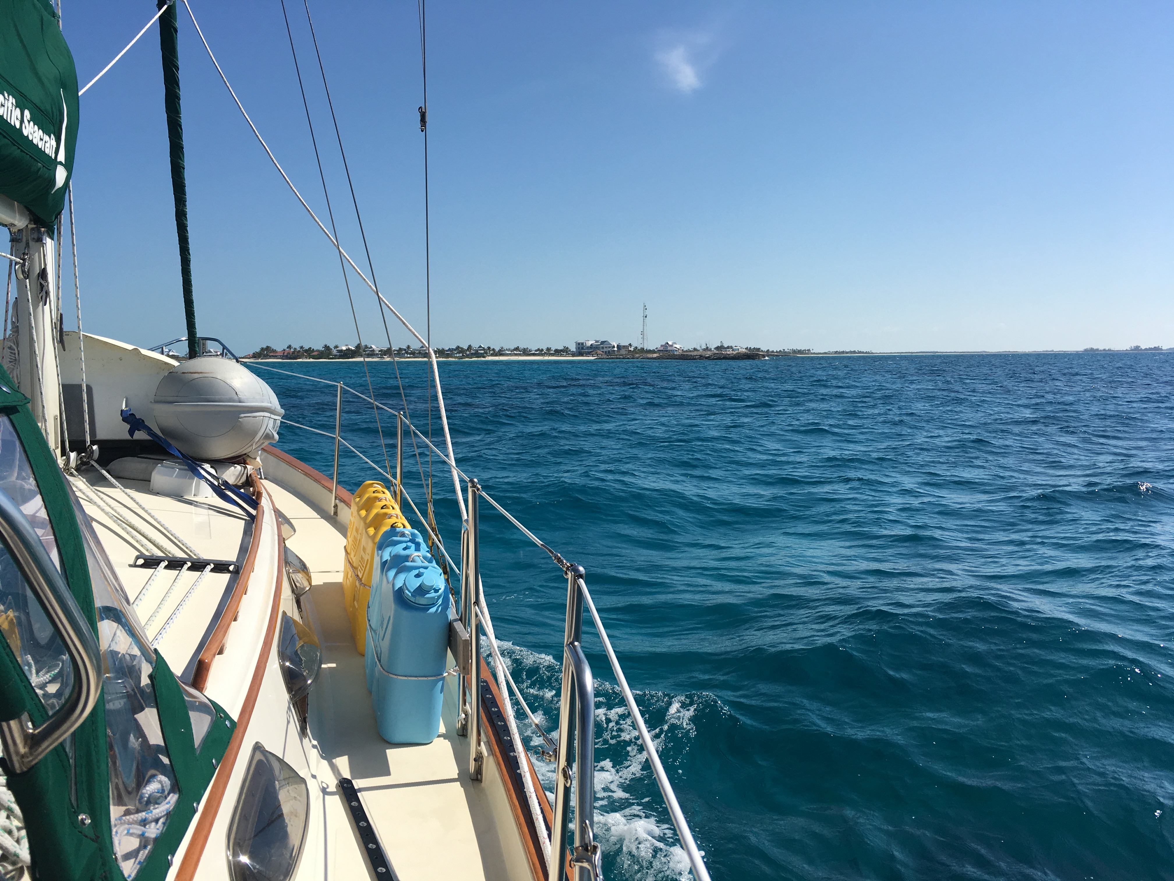
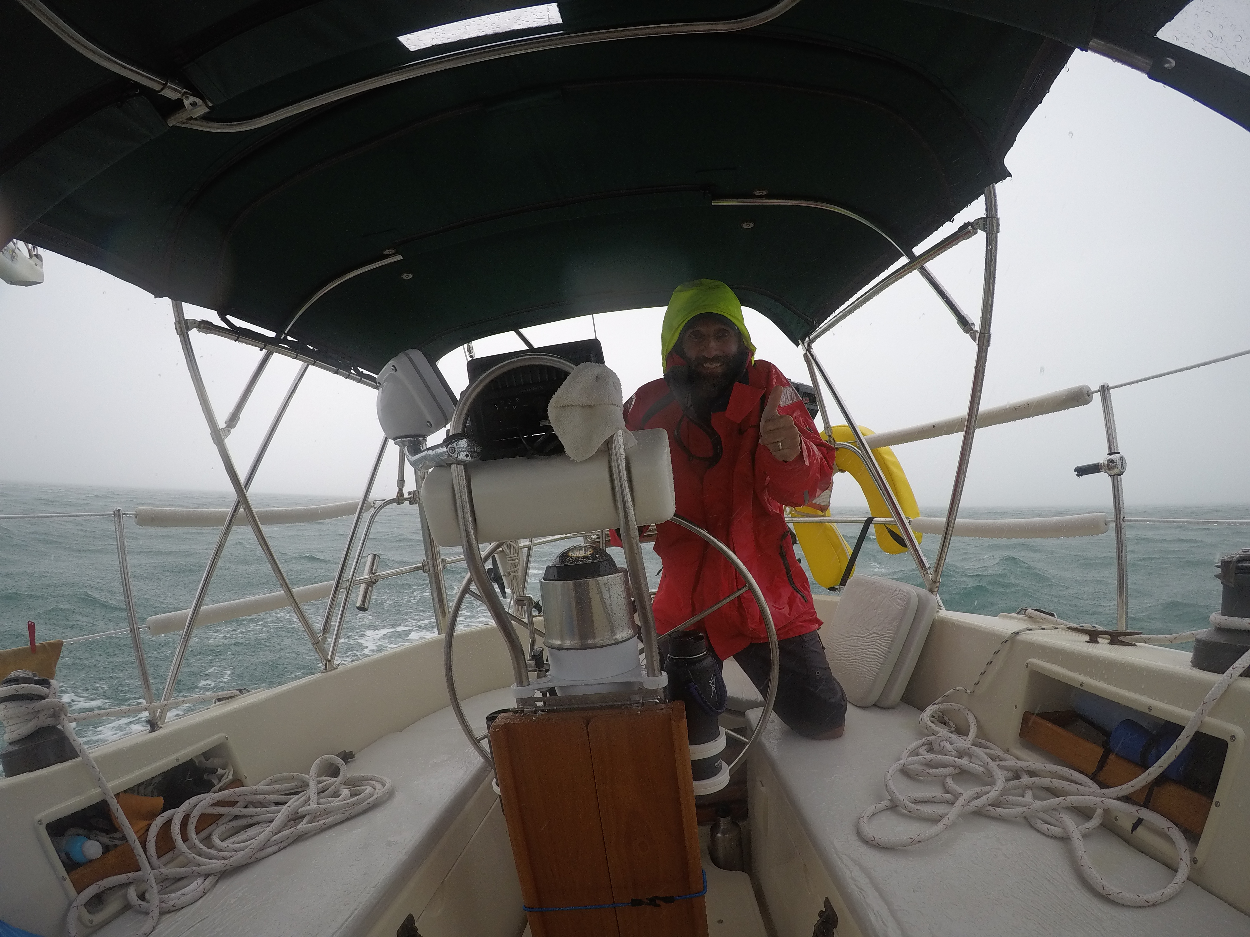
The wind and rain were still a bit on the sporty side the day we pulled out of Palm Cay Marina. The early season tropical weather system that had popped up was almost past, but not quite. According to our research, there seemed to be a four day weather window of favorable wind for us to cover the approximately 200+ miles back to the Florida Keys. After those four days, the wind was forecast to be stronger and against us; not conducive to a comfortable or safe trip home.
The challenges would begin immediately, as getting in and out of the marina basin was a bit tricky due to the narrow channel which delivered you out to the southeast corner of New Providence. The wind was still quite stronger than forecast and we had to fight the tide and wind to get out the channel. Due to the engine vibrations we were dealing with, I could only run the motor at low RPM. Eileen finally managed to bash her way through the steep waves and into open water after about 30 minutes. Once there, we had to work our way around the east side of New Providence through an area of shallow and uncharted coral heads. The wind was not quite cooperating and we had to motor sail to the north side of New Providence past Nassau on our way back towards Chub Cay (see previous posts to learn more about Chub Cay and Fraziers Hog Cay Anchorage). We would anchor for the night at Chub and start west again early the next morning.
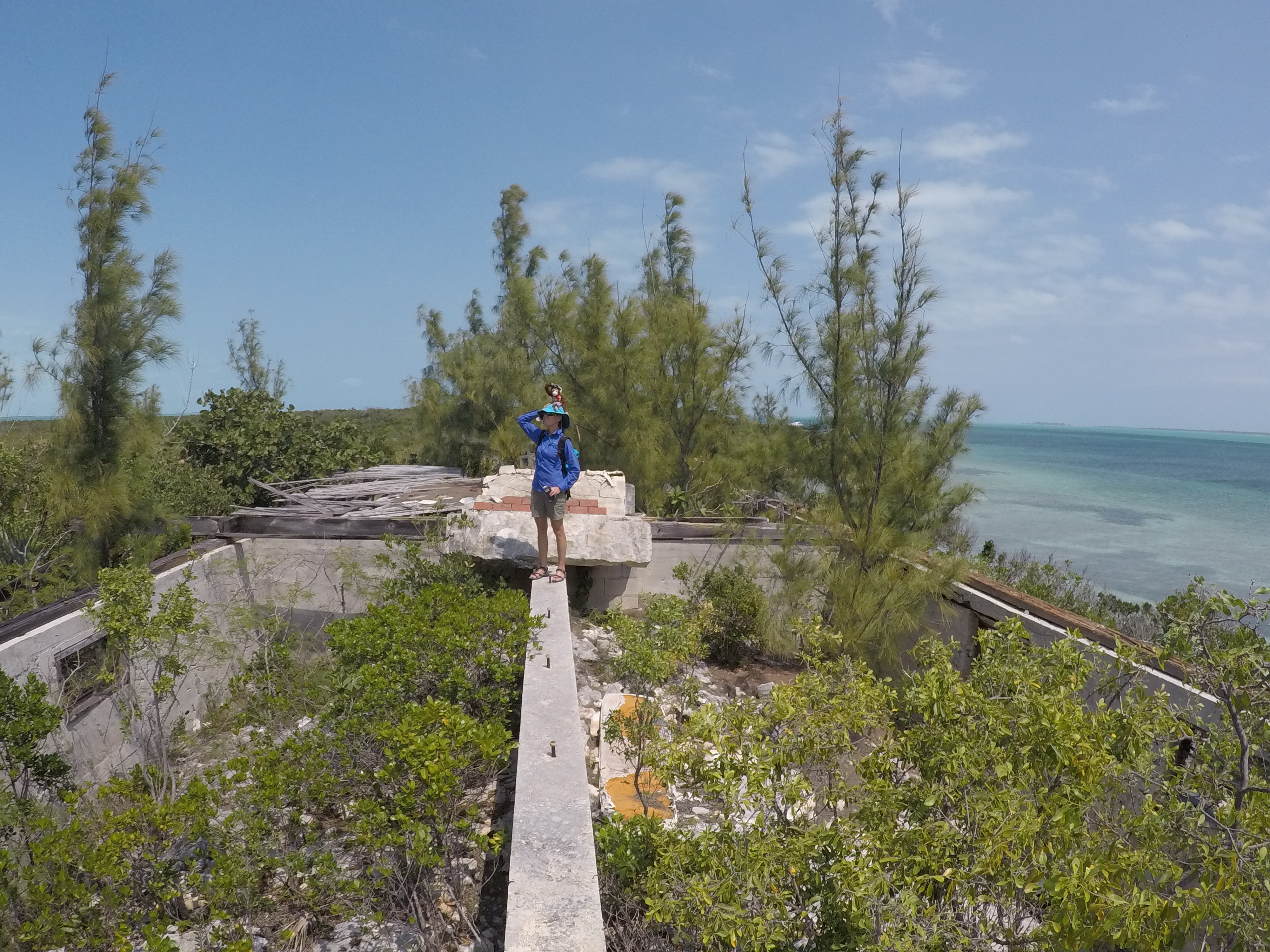
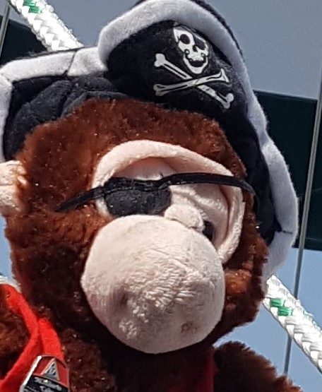
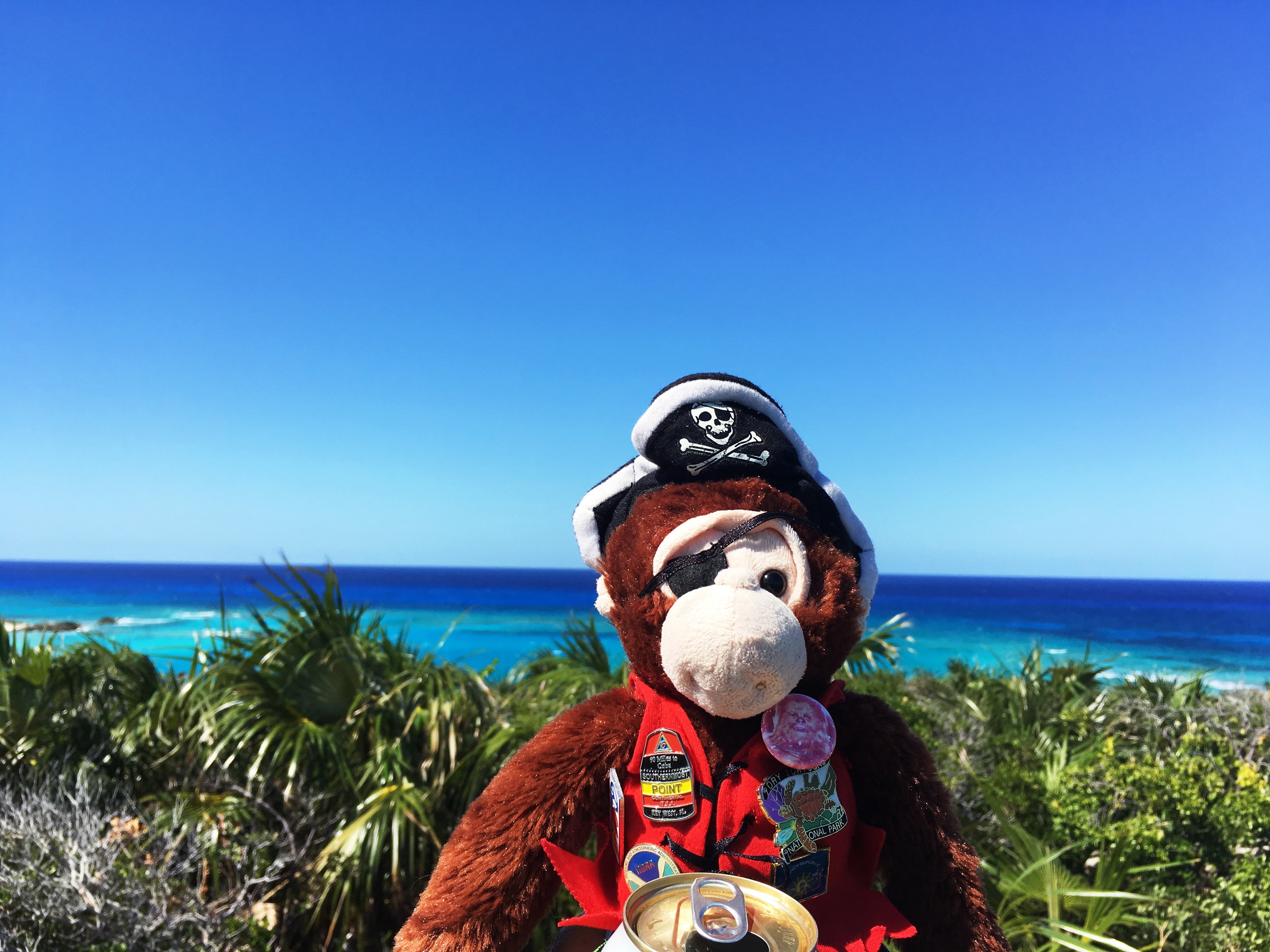
Boat Monkey and Captain Cluck settle in for the long trip home.
Finally clear of Nassau and New Providence and on our course, it seemed like the wind would be perfect to let us sail the remaining 30 miles to our anchorage. It was not to be. We had just trimmed the sails and turned on the auto-pilot. We were feeling pleased to be on target to reach our anchorage with plenty of daylight to spare. The forecast was for good wind speed in the proper direction for the remainder of the day.
About 20 minutes later, we were set upon by a large storm cell of rain. It got a little squirrelly for a minute but we knew it would pass. Unfortunately, once it did, it took all the wind with it! We were more or less becalmed. Surely the wind would fill back in…not to worry. But then it didn’t. The wind never came back this day. It was time to start the motor again. The current was against us and we once again had to run the motor at a low RPM. We had planned the journey for a speed of 5.5 kts and were only making about 3. This was not good. The GPS said we would get to the anchorage very late and near dark. The channel into the anchorage is narrow and shallow (as usual) and it would be tricky to get in there at night and against the tide.
We went through another rain squall or two and were getting frustrated with our lack of progress. We pushed the engine a little harder than we wanted to and finally arrived at Fraziers Hog Cay not long before sunset. Although the light was poor, we had our memory and the previous tracks on the GPS to fall back on in navigating to the anchorage. While somewhat protected, the wind had by now picked up again (of course) and the area was a little choppy. The wind direction also put the shore behind us which was not ideal. By the time we got settled, it was dark and late. Tired and aggravated by the weather not going according to forecast, we made a quick meal and tried to get some sleep for the next days passage across the Bahama Banks.
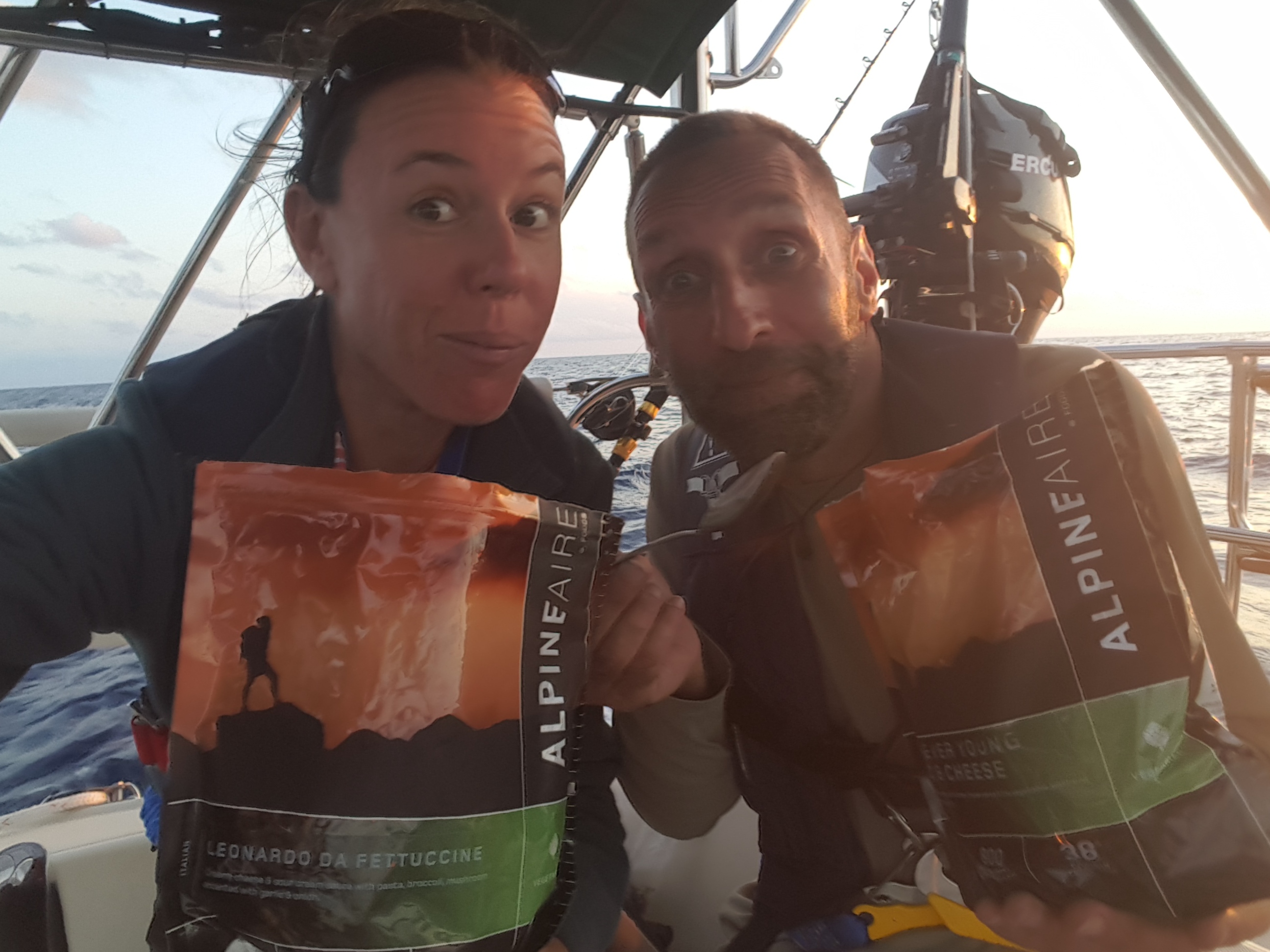
Passage Food…Yum?
We would be up before the sun and lifting anchor at first light in order to make our next anchorage. If things went perfect and we were feeling up for it, we would continue on across the Gulf Stream. It is a long 80 miles across the Banks. The weather and wind were forecast to be in our favor for a nice sail across (why we had chosen this weather window). We should easily make 6 kts. or better and be across to South Riding Rock with plenty of daylight to either choose an anchorage or continue on. The Great Bahama Bank is a long stretch of sandy bottom with depths usually not more than 15 ft. deep and often less. With the gin-clear water of the Bahamas, it often looks like it is about 6 inches! Very unnerving. Anchoring is not often recommended on the Banks due to the steep chop that can quickly develop on the shallows. It makes trying to get sleep very uncomfortable and nearly impossible. We had planned to get through the (again) very narrow and tricky cut at South Riding Rock well before sundown where we would at least be on the lee side of the rocks for a more comfortable anchorage, or if we were feeling frisky and the weather was good, continue on across the Gulf Stream.
I would wager by now, that you know where this tale is headed…It all began so well. We were up and on our way before the sun broke over the horizon. We puttered out the channel and said our goodbye to the beautiful Bahamas. Passing to the south of Chub Cay we raised sails and were greeted by a gorgeous sunrise. The wind was a perfect 12 kts. on the beam and we had a wonderful sail out of “The Toungue of the Ocean” and past the Northwest Channel “light”, and finally onto the Great Bahama Bank. Gliding along at 6.5 kts., it looked like we would have an easy sail over to South Riding Rocks; our next waypoint.
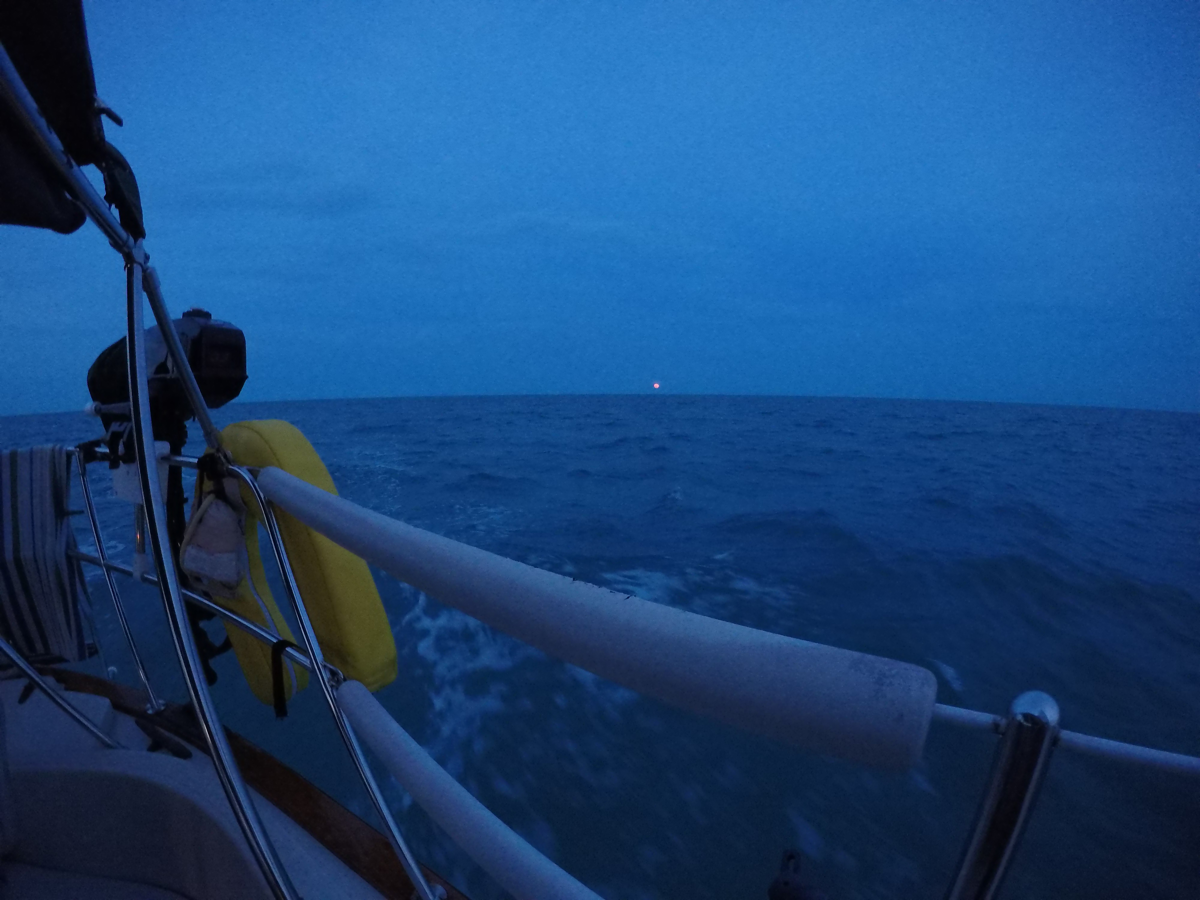
Storm Cell on Bahama Bank
About two hours in, some squalls popped up in our path. We turned on the radar to see if we could tell how big the cells were and whether we could go around or would have to go through them. They were not terribly huge but it looked as though we would need to go through. The first major cell hit us with white-out conditions and heavy rain. Celia ducked below into the boat and I donned my foul weather gear and made ready to man the helm through the squally rain. While challenging, the rain eventually passed and the sky once again opened up. Much to our chagrin, the squalls once again took the wind with them! We bobbed about with sails flogging and flapping, waiting for the wind to kick up to speed again so we could continue making progress under sail. And then….nothing happened. We double-checked the weather and wind models for the day. As expected, they all told the same story; moderate fair winds in our favor. But the wind never returned. Once again, we dropped the head sail and sheeted in the mainsail. We fired up the engine and limped along at an uninspiring 3-3.5 kts. Fatigue was starting to set in as we had not had much sleep the previous night. While you can just anchor in the middle of the banks if needed, you are exposed and the chop can become untenable. Our goal was to at least get to South Riding Rocks regardless of the time. Hope and prayer did little to get the wind back and we had a long slow slog across the 80 miles of nothingness.
By the time we reached our destination, it was too dark to get onto the lee side of the rocks. We would have to anchor out until daylight and try to get some rest for our Gulf Stream crossing the next day. As (bad) luck would have it, the winds picked up around this time making our rest stop for the night extremely bouncy and uncomfortable. Discomfort, fatigue, and anxiety all conspired to make sleep a virtual impossibility. First light came all to soon and it was time to get underway once again. Our window to cross the Stream was going to close and we were in an exposed area where we could not stay even if we wanted to. Forward was the only choice.
Anchorage at South Riding Rocks
Out in the Gulf Stream, conditions were fair, if not ideal. The wind was light but favorable and we hoped it would pick up to the forecast speed so that we could sail most of the way without the motor. It was not to be. As mentioned in our crossing post at the beginning of our journey, the Gulf Stream is a giant river of water moving north at speeds up to 3+ kts. Coming into the Bahamas from the south (Florida Keys), it does much of the work for you and you steer east while the current takes you north to your destination. Coming back west and trying to get south, it works against you. You either fight it and steer for your destination (and go slower), or you aim a little south knowing it will carry you north and live with where you end up, turning south again once you are out of the current on the other side. The original planned speed would get us to the Keys before sunset. We would get inside the reef and anchor for the night somewhere around Islamorada and make our way to Marathon the next day. NOPE! The wind stayed light and once we got into the heart of the current it swept us quickly north. We were not making enough speed to get us across before dark. I was close to a minor mental breakdown at this point. No sleep, challenging waves and conditions, getting carried far north of where we wanted to be, having to once again fire up the engine, arriving at the reef after dark…it was all a little much.
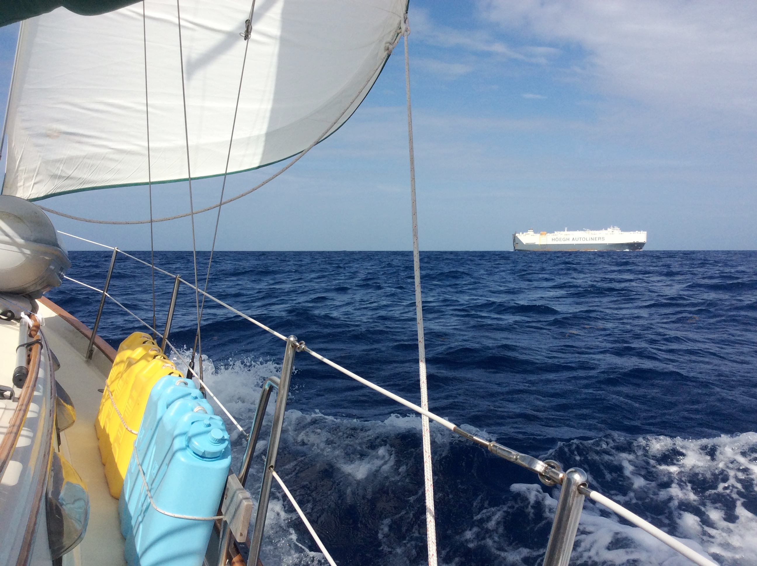
Gulf Stream…”Hey, new Buicks are in”.
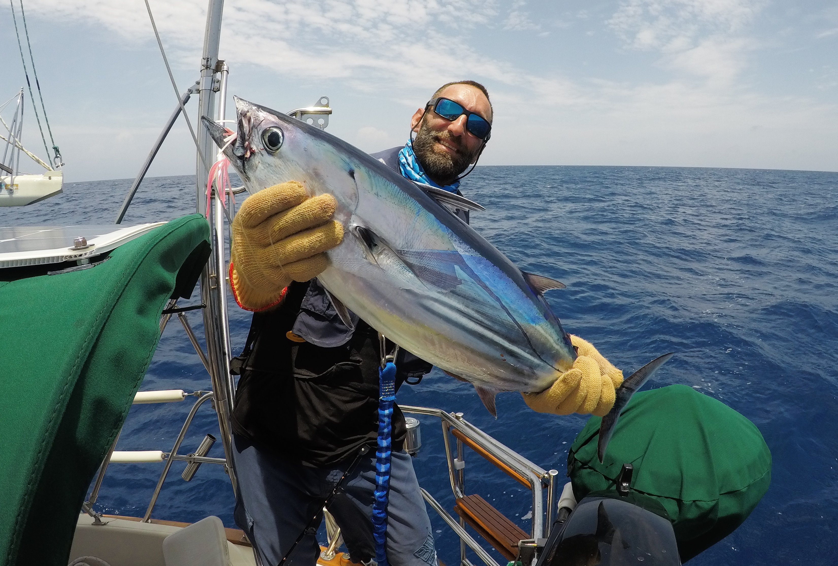
Celia suggested a distraction…we should throw out the trolling rod and fish. Sure. Sounds like a fine idea. I rigged up a lure and drifted the line out behind the boat, not thinking much of it. Twenty minutes later, the rod went off; line screaming out behind the boat. I jumped up from my catatonic state and grabbed the rod. This was poor planning in action! Celia’s shoulder was in pretty bad shape. She could neither man the rod or do what was needed to slow the boat down. The fish continued taking out line while I finally got the boat slowed enough to start fighting the fish. Exhausted, I now had to fight a significant size fish and retieve about half the reel worth of line! After what seemed like forever, I finally got that fish to the boat. It was a decent sized tuna! That tuna was about as tired as I was at this point and there was no gaff needed to get him on the boat. Now we had to deal with this fish…not what I really wanted to do at this point. Celia volunteered to clean the fish on the side deck. Her first tuna. While not pretty, she managed to get most of the good meat off of it and into the fridge. I was about ready to collapse at this point. We turned on the autopilot and watched the GPS screen as we were swept farther and farther north due to the fact we could neither sail or motor fast enough to overcome the racing Gulf Stream.
“Welcome Aboard!”…Two Tired Creatures
Fast forward to about 10pm. We are finally approaching the reef in northern Key Largo. Celia and I are both at wits end. While I know the reefs fairly well from my years working at Keys Marine Lab and for Florida Keys National Marine Sanctuary, there are several shallow areas inside the reef in the Key Largo area. I was not comfortable navigating this area in our current state of delerium and it was too far to get to a good anchoring site anyway. We made the call to pick up a mooring ball at Elbow Reef and get some rest. It seemed like the right choice at the time. However, around midnight, the wind started picking up out of the south and kicking up a large and uncomfortable swell on the reef line. A deluge of rain started pouring down. We were bouncing up and down in large waves, tugging on the mooring system with the reef to our side but still a little too close for comfort should the mooring fail. We tried in vain to get any significant amount of sleep we could but it was near impossible under the conditions. This was going on Day 4 with probably about 8-10 total hours of sleep for me. As soon as it was light enough to see, we pulled off the mooring and into the relative protection of Hawk Channel. This channel parallels the reef and the Keys island chain, offering a protected route up and down the Keys. We were approximately 50 miles from our ultimate destination of Marathon. I had very little left in the proverbial tank at this point. The relief of being back in our home waters was overshadowed by my exhaustion and frutration with how things had played out against our careful planning.
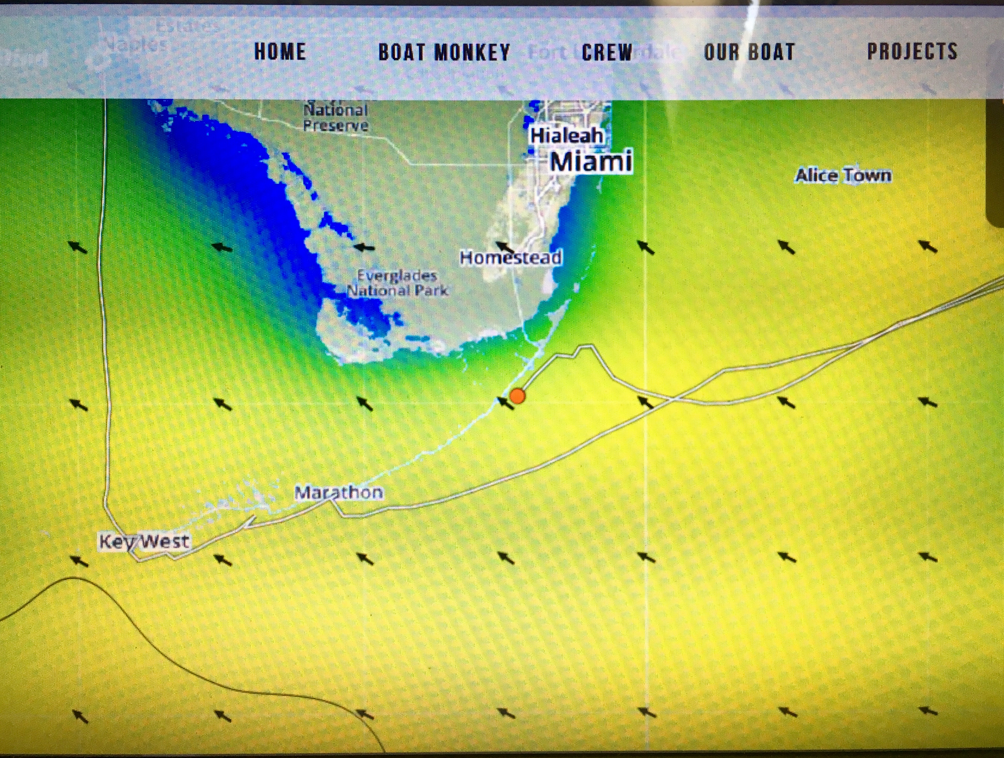
Gulf Stream carried us quickly north on our return crossing…
And just as I had about reached my breaking point on this final day of our voyage home, the sea gods finally smiled upon us. The skies cleared. The wind was on our beam at a perfect 15 kts. We raised sails and steered for Marathon. After trimming the sails, we were flying along at near 7 kts. in a very light chop and on a perfect course. We set the autopilot and took turns napping in the cockpit. I can honestly say without hesitation that this may have been the fastest, most perfect sail we have ever had on our boat. The autopilot barely moved the wheel as Eileen raced along in perfect balance. It was one of those crisp gorgeous days out of a postcard. With my mood and energy somewhat renewed, it was with immense pleasure that I noted that if conditions held, we would make it to Marathon with enough light to navigate into Boot Key Harbor where we could pick up a mooring and get some proper rest. Everything fell into place and as we pulled around Marathon near the Seven-Mile Bridge and dropped sails, Celia and I just looked at each other and genuinely smiled for the first time in days. It was probably the most difficult and at the same time most satisfying leg of our 6 month cruise. We had overcome it and were now finally safely tied up to the mooring at Boot Key. We seared some fresh tuna for dinner that night that was more delicious and satisfying than it should have been…a just reward for our travails! I don’t remember much after that besides falling into a deep, deep sleep. My last thought as I drifted off…”WE DID IT!”
Boat Monkey Adventures thanks you for following along!