Adventures Log

ROCK SOUND – EXPLORING SOUTHERN ELEUTHERA

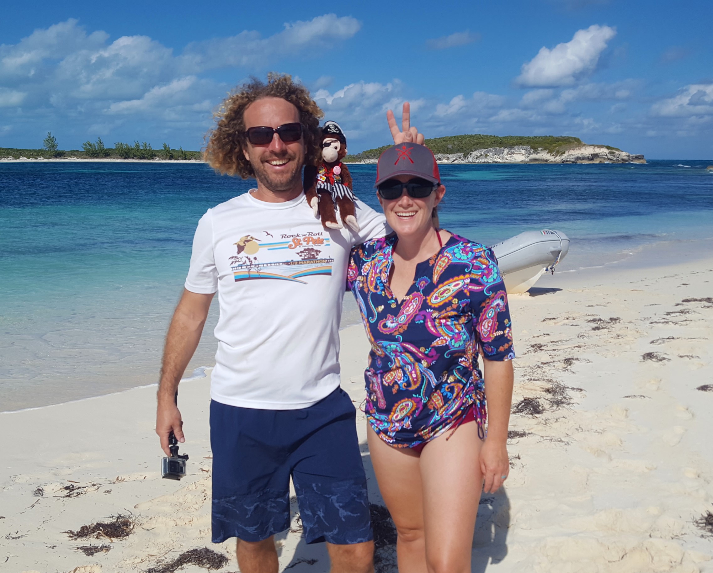
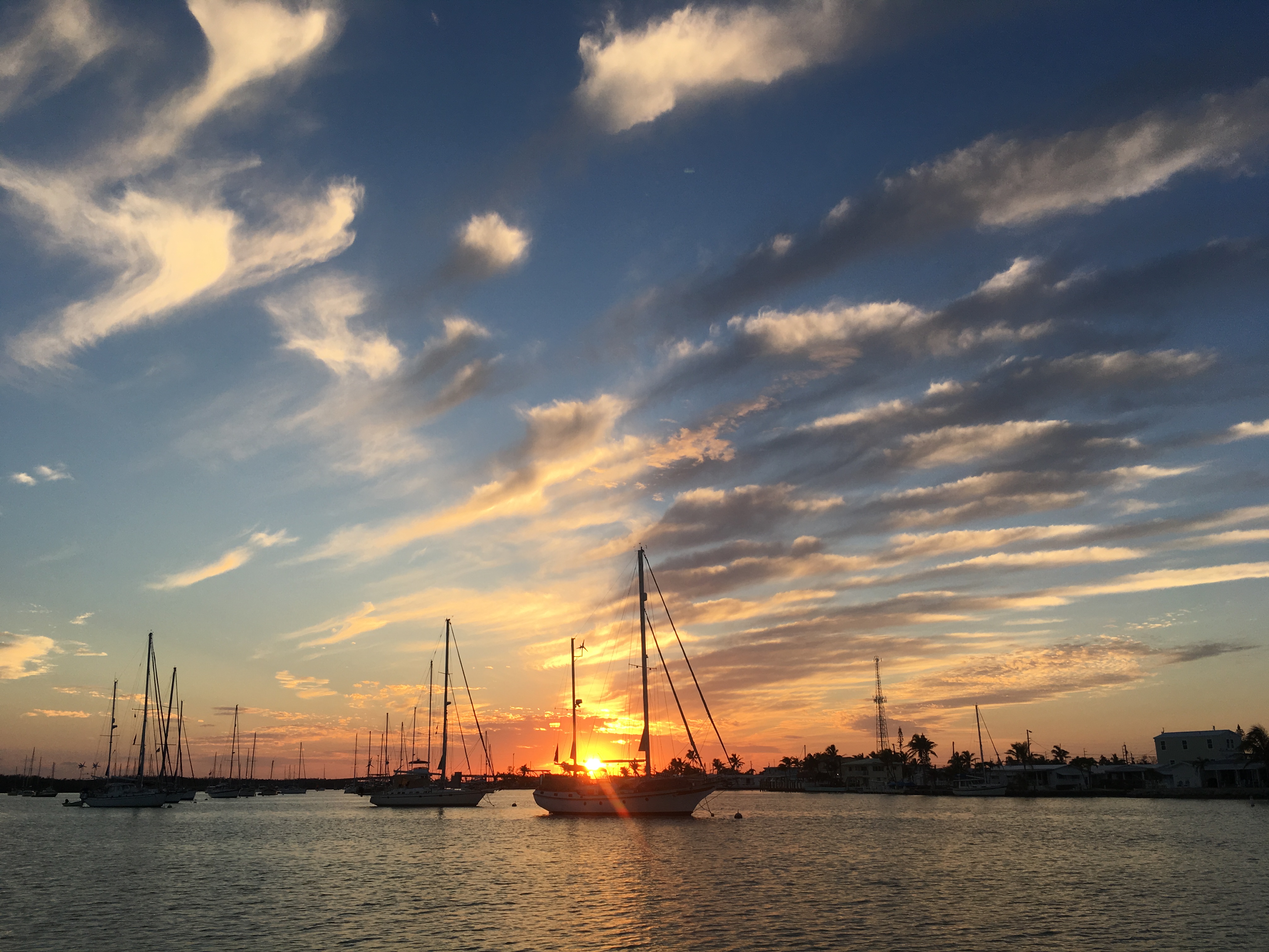
ROCK SOUND and CAPE ELEUTHERA – February 5, 2019

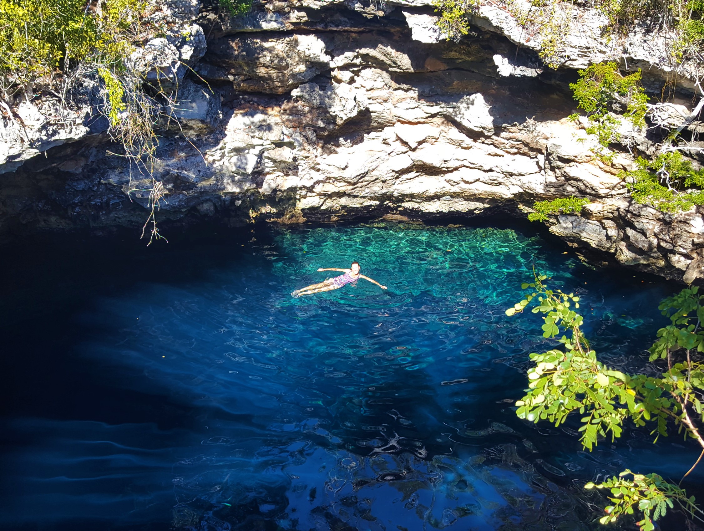
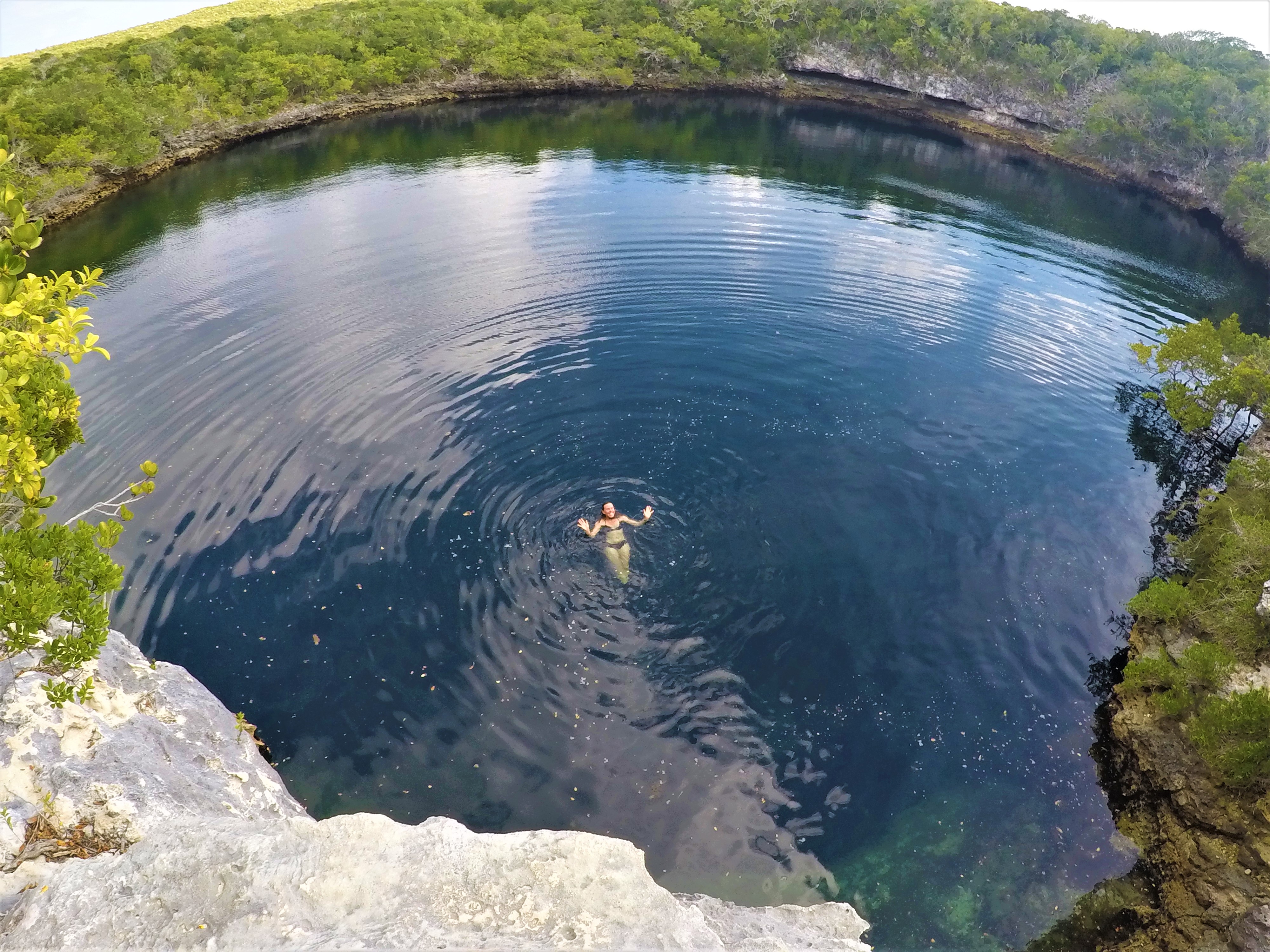
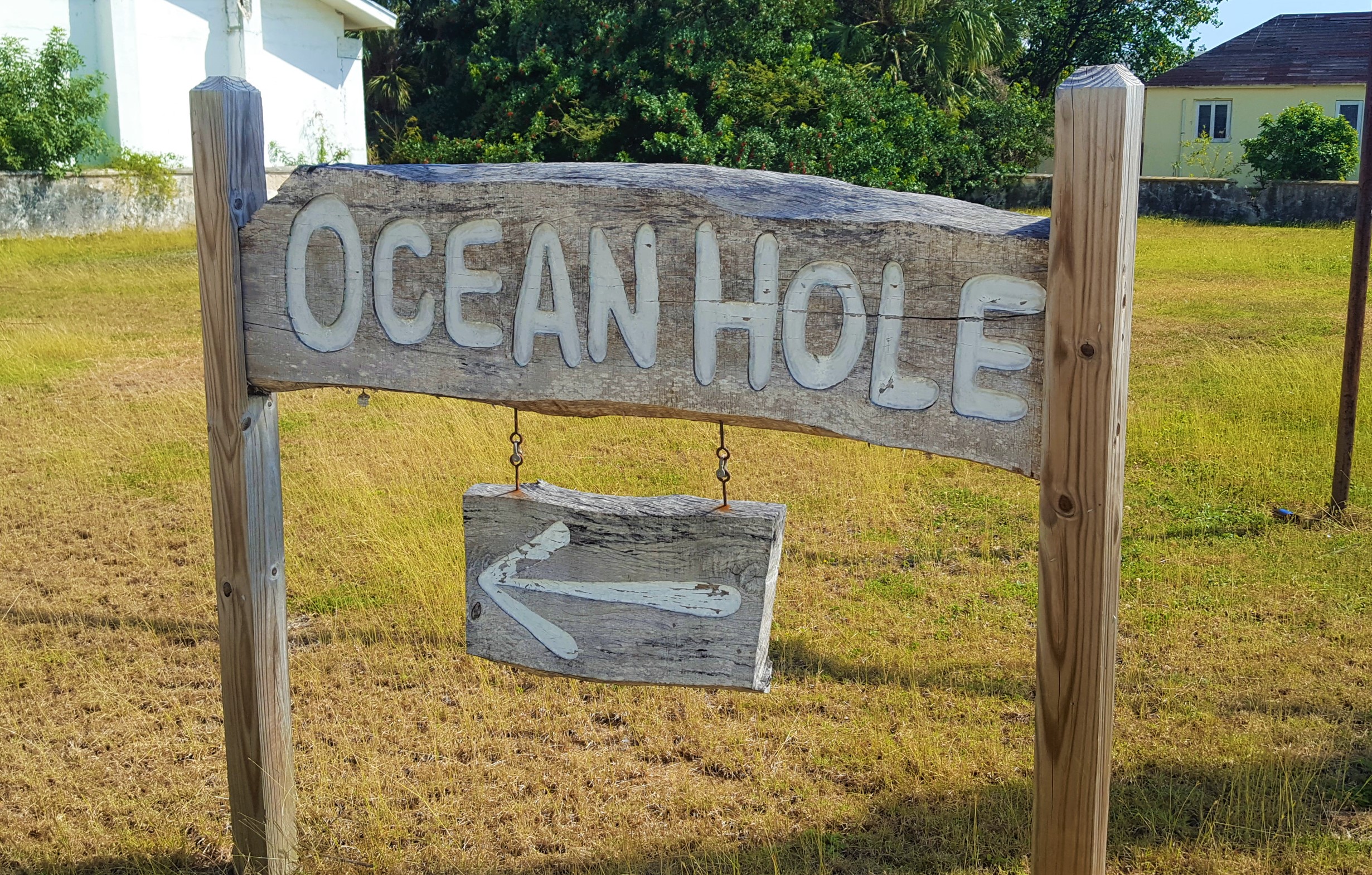
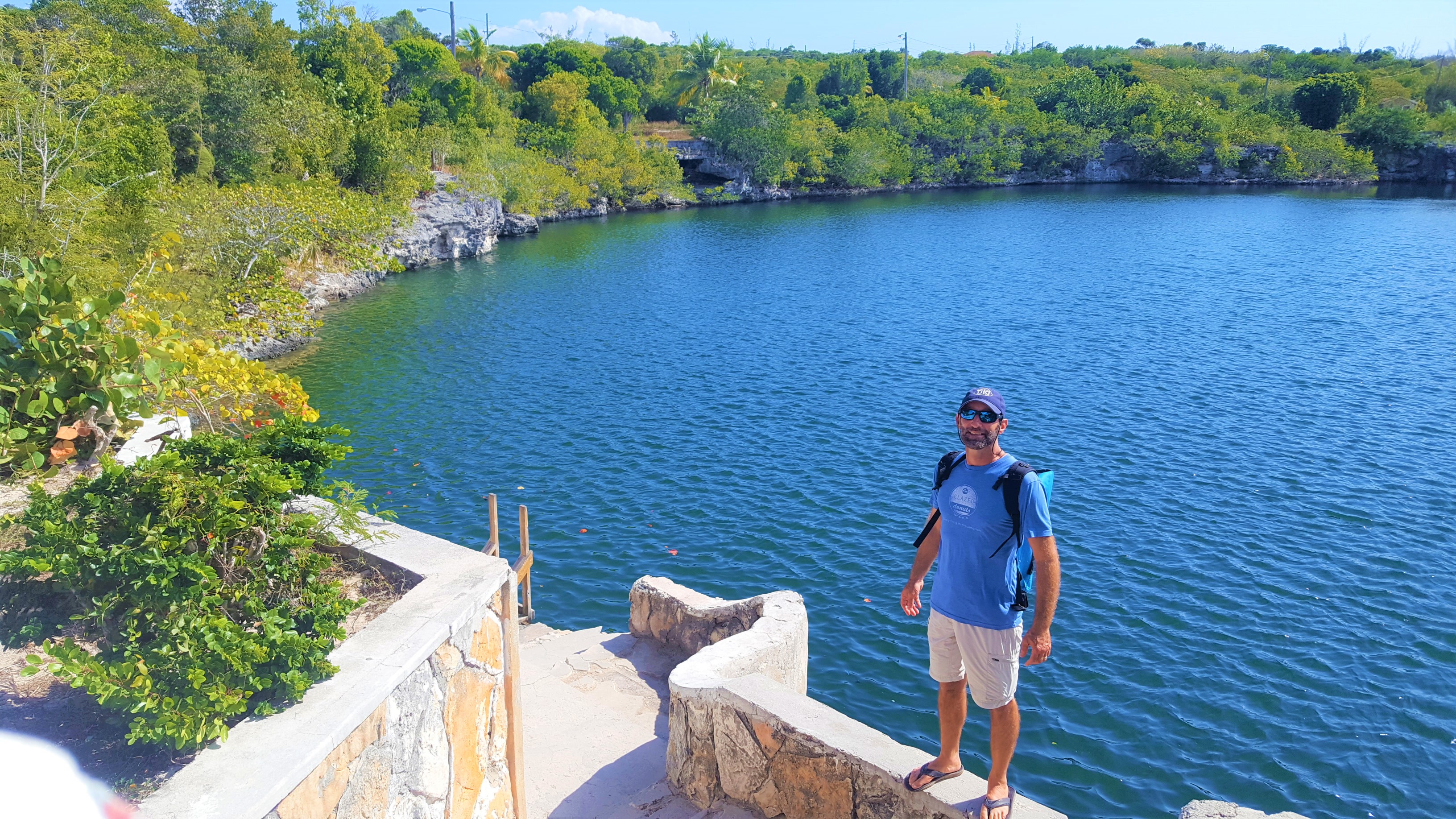
After leaving Hatchet Bay, our next destination was Rock Sound. Rock Sound is a large and mostly protected harbor on the southern end of Eleuthera. It is a big enough population center for the town to have a large grocery, a bank, and a hardware store. The area is also famous for its very large blue hole known as “Ocean Hole” which has been made into a community park located right in the middle of town!

Ocean Hole

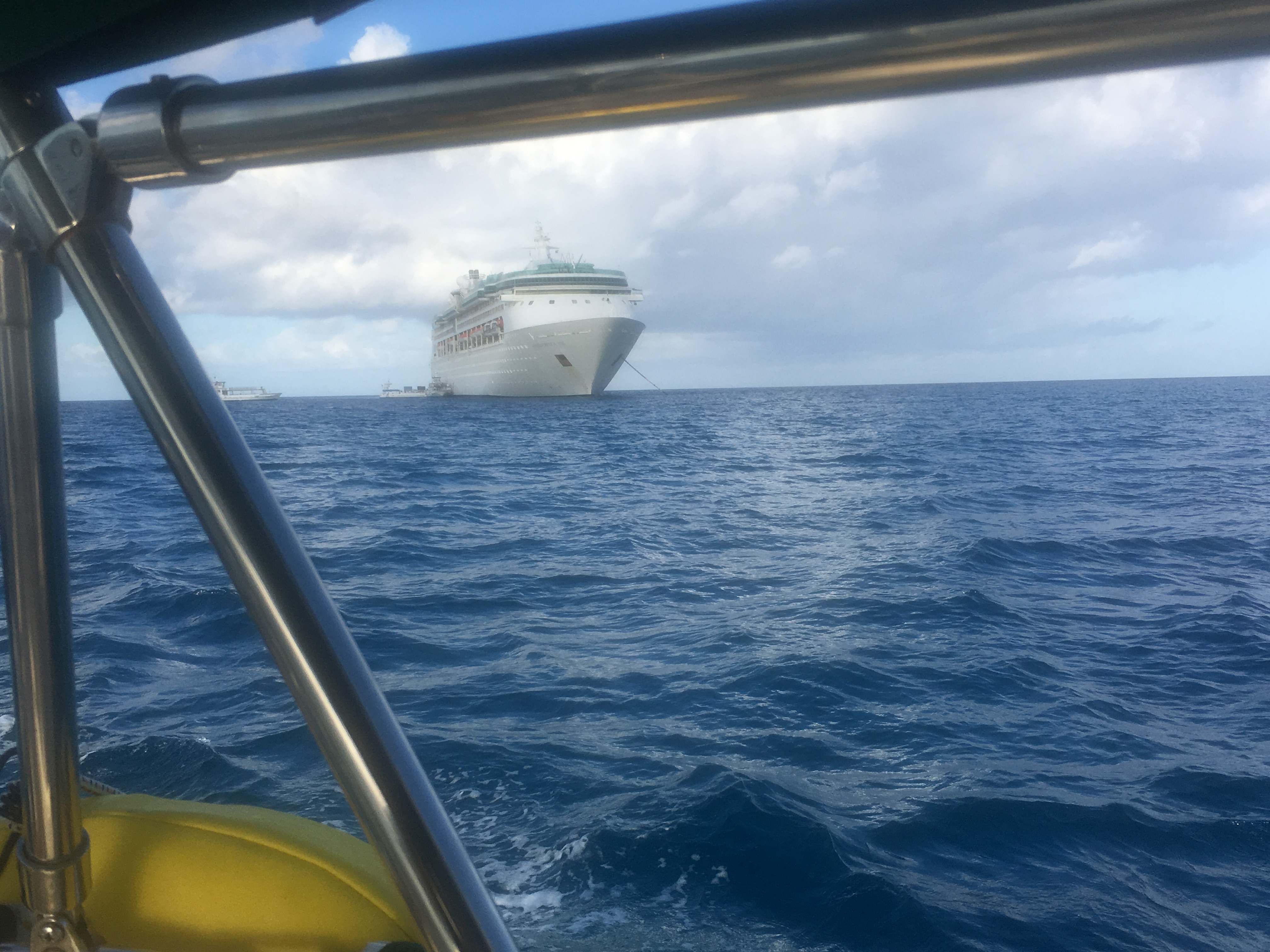
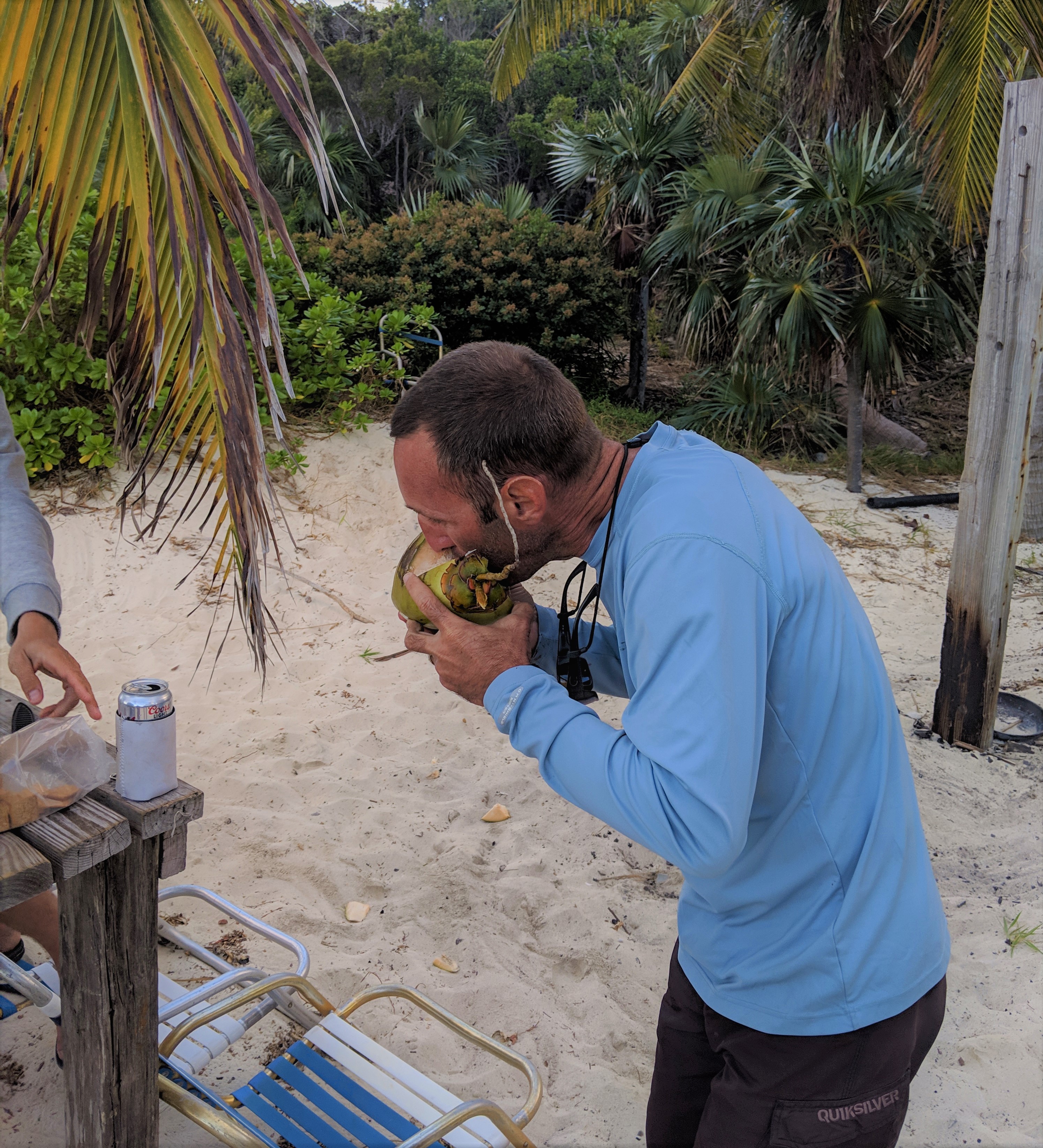
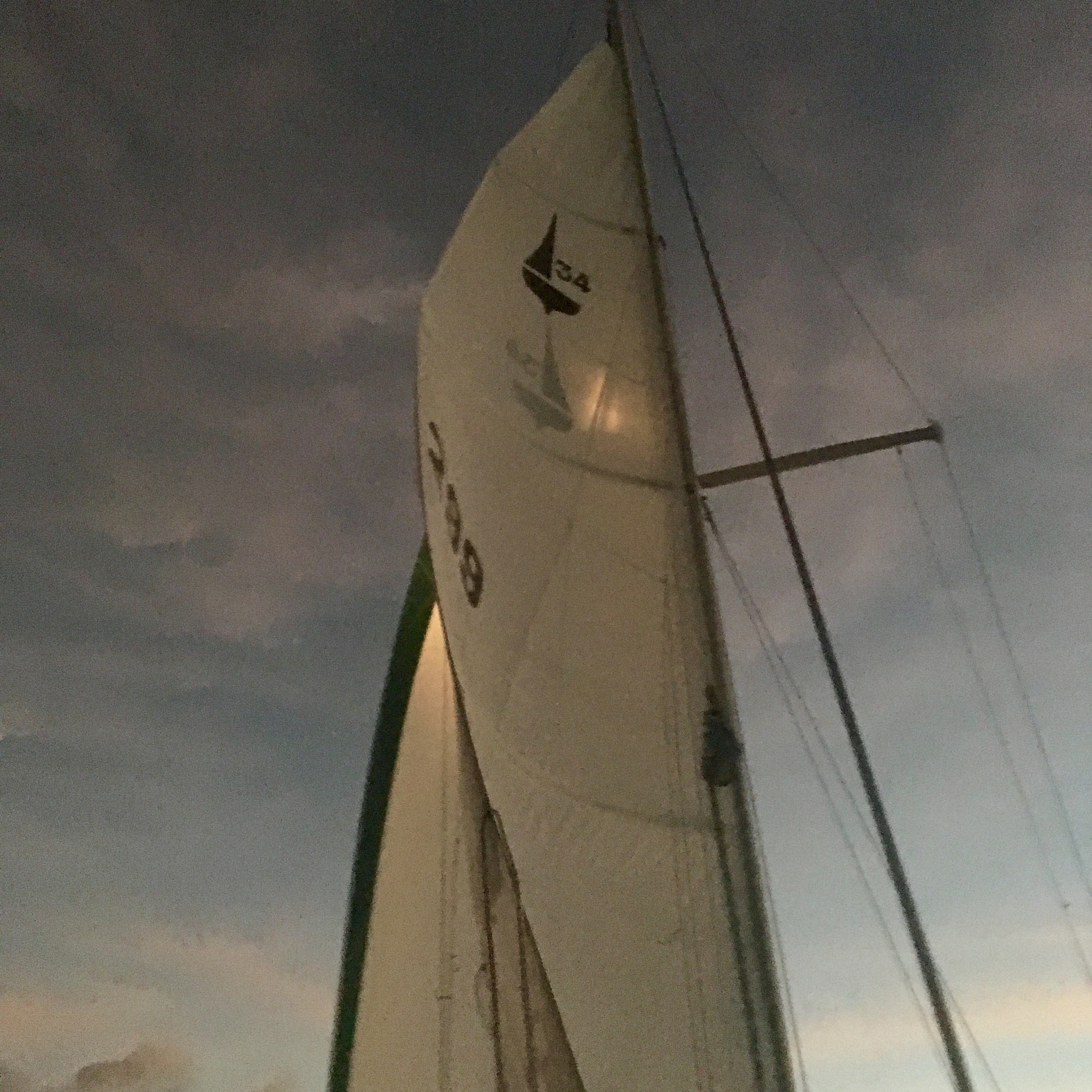
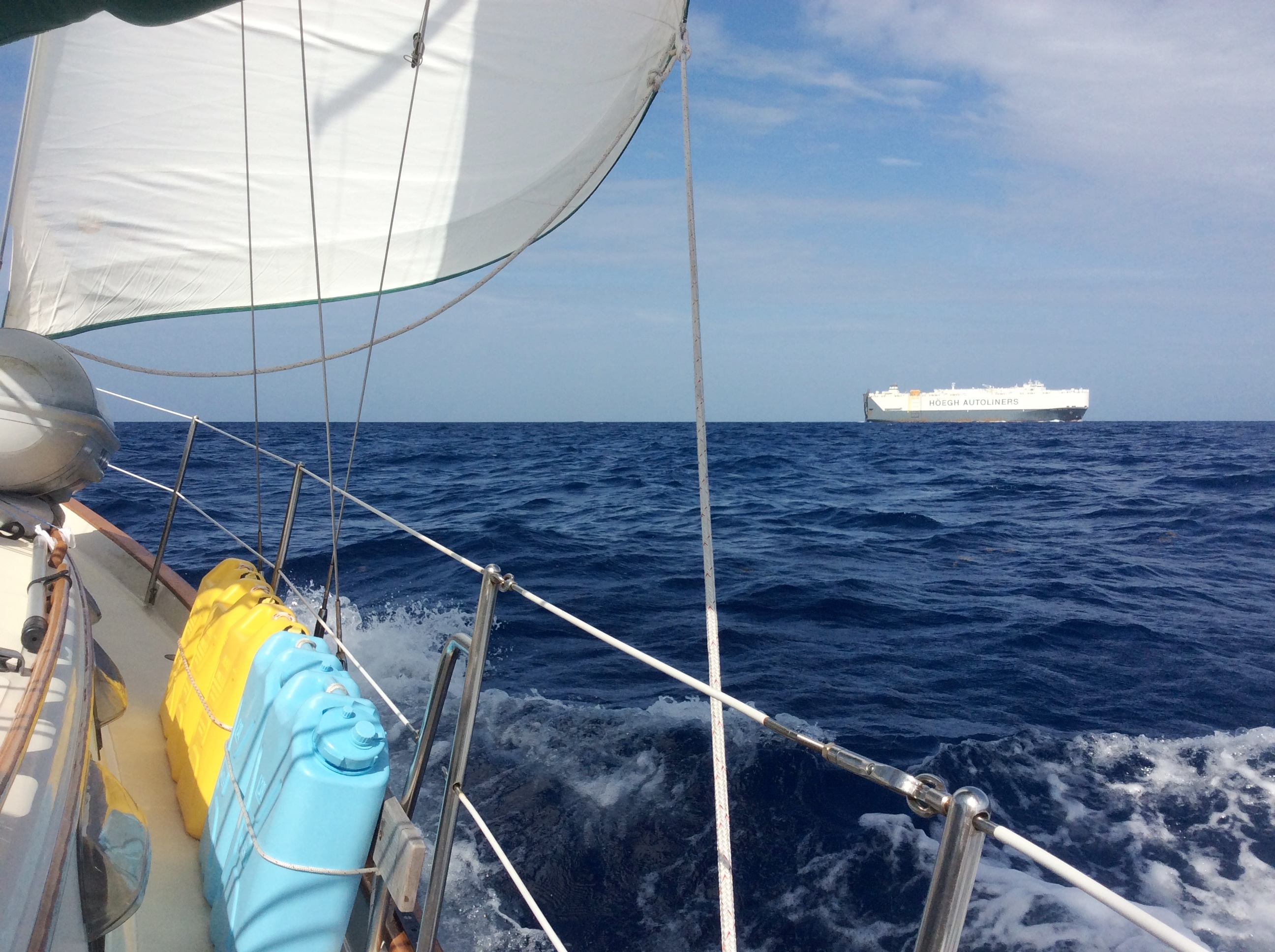
Rock Sound would be about a 35 mile run. While we needed to get there ahead of the next cold front in a couple days, we had an extra day for exploration. We decided to break up the trip with a stop at the Pineapple Cays, about half way along our route. Allegedly, the little village here had a restaurant that was known to have some of the best pizza in the Bahamas. Now, as many know, I am from the Boston area and could definitely be labelled as a pizza snob. Let’s face it…South Florida and most of the southern islands I have lived on or visited have craptastic pizza, so I didn’t have high hopes. We dinghied to shore and walked through the quaint, sleepy, mostly residential village. We found the restaurant and were excited to treat ourselves to some pizza (not something we cook on the boat). The lone employee, Laverne, assured us that the crust was home-made and the pizza was going to be delicious; we ordered up a large pie so we could have leftovers. To my surprise, the pizza was actually pretty damn good!
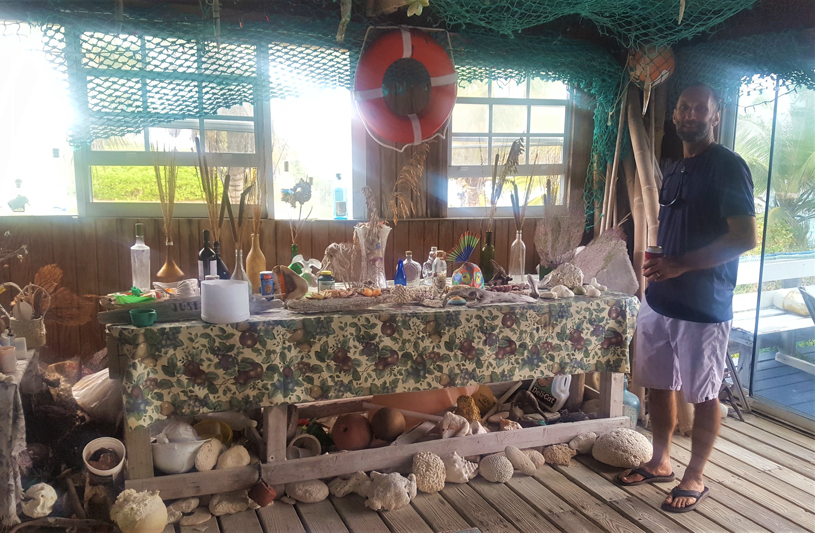
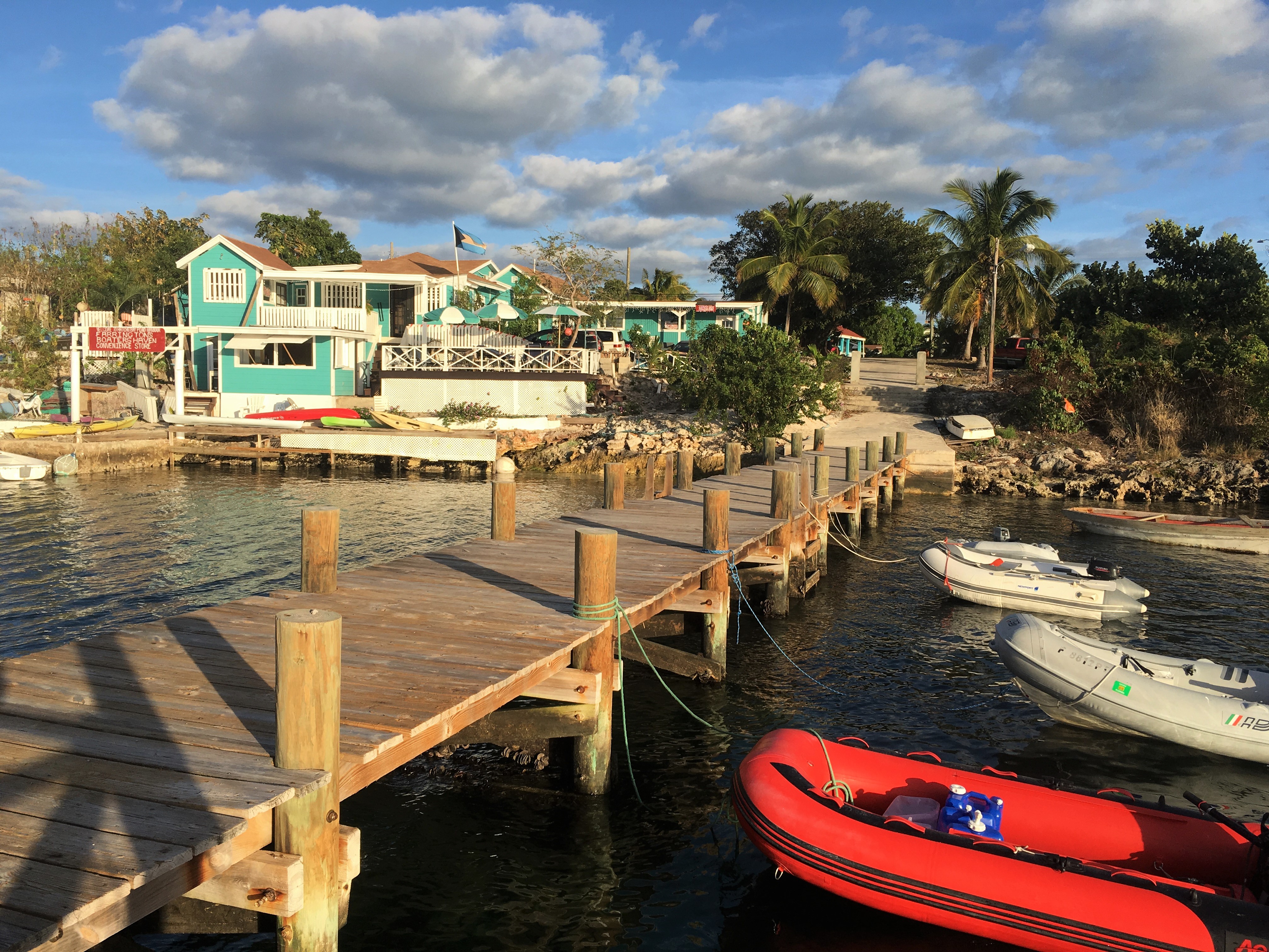
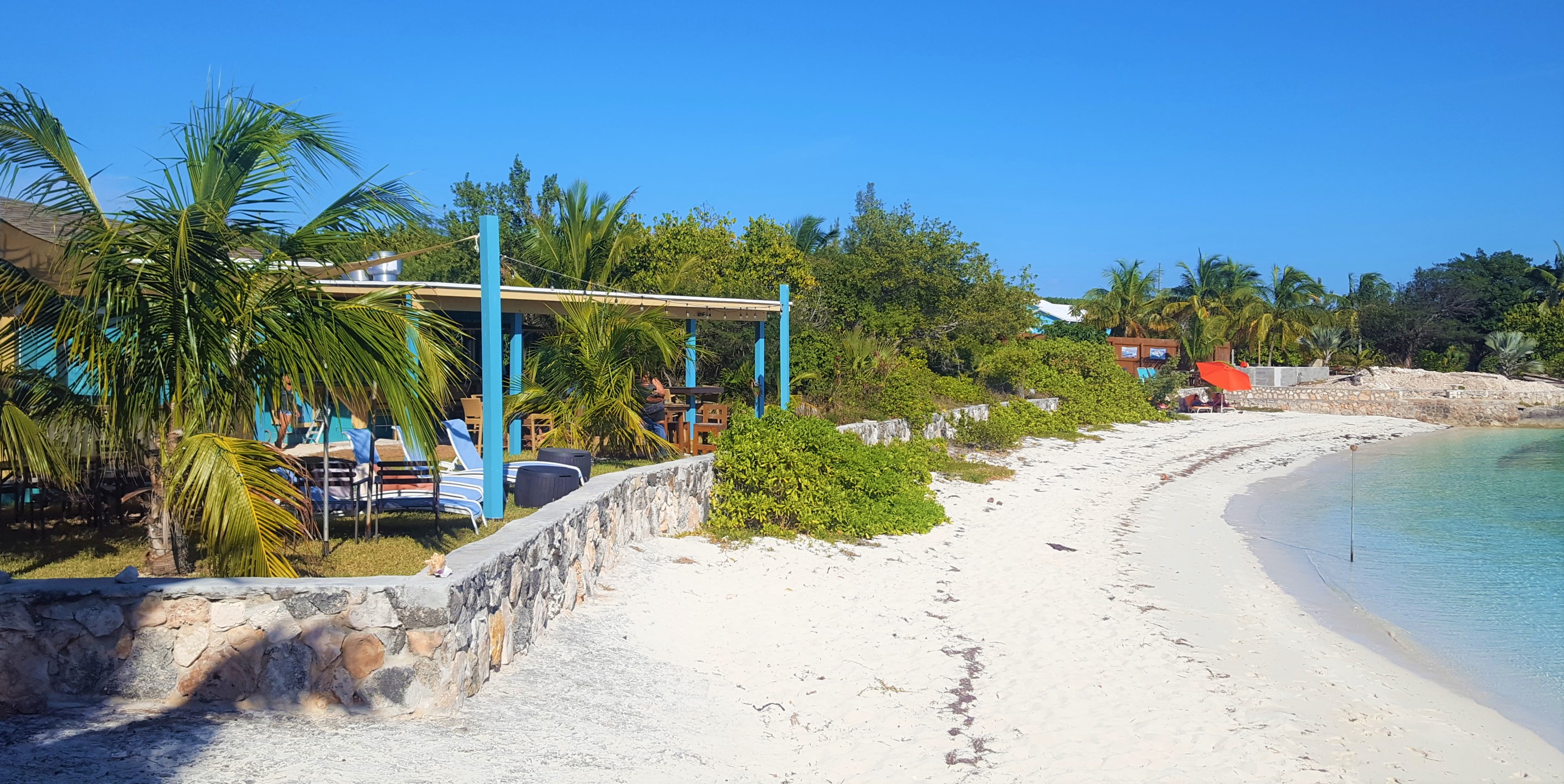
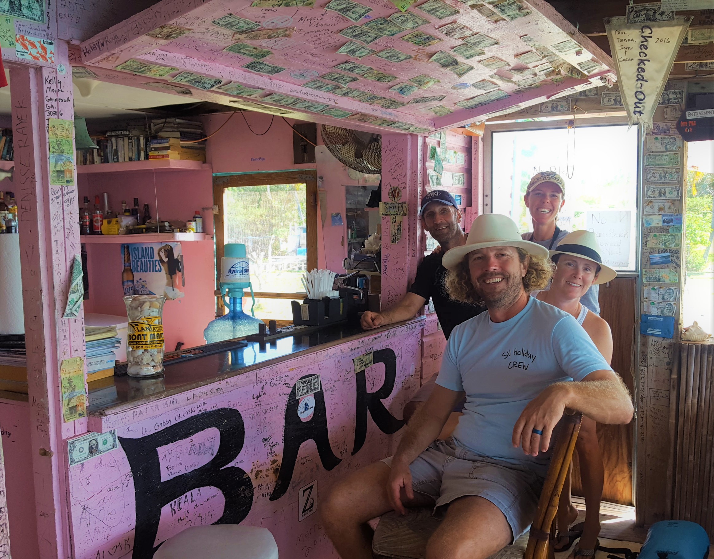
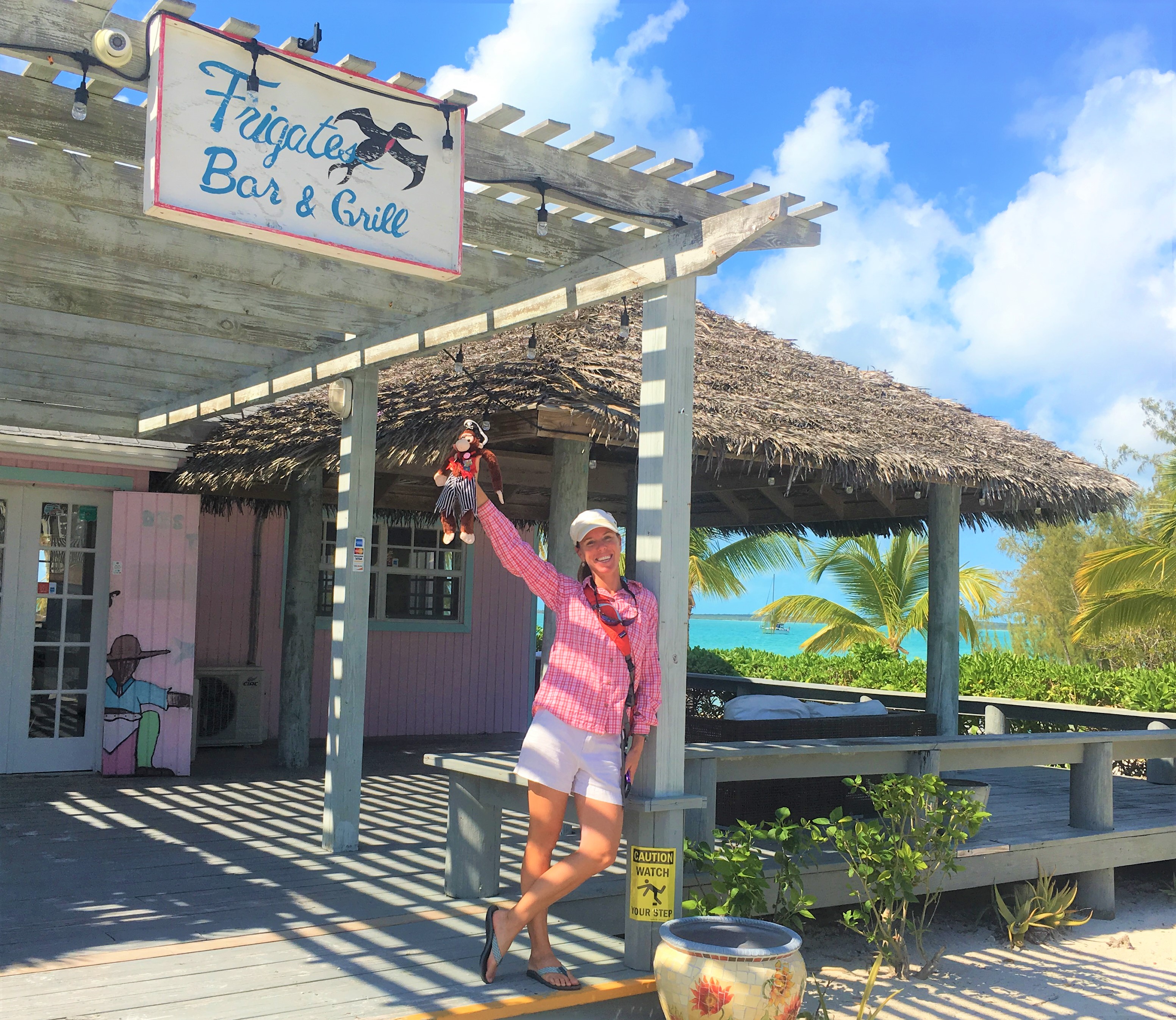
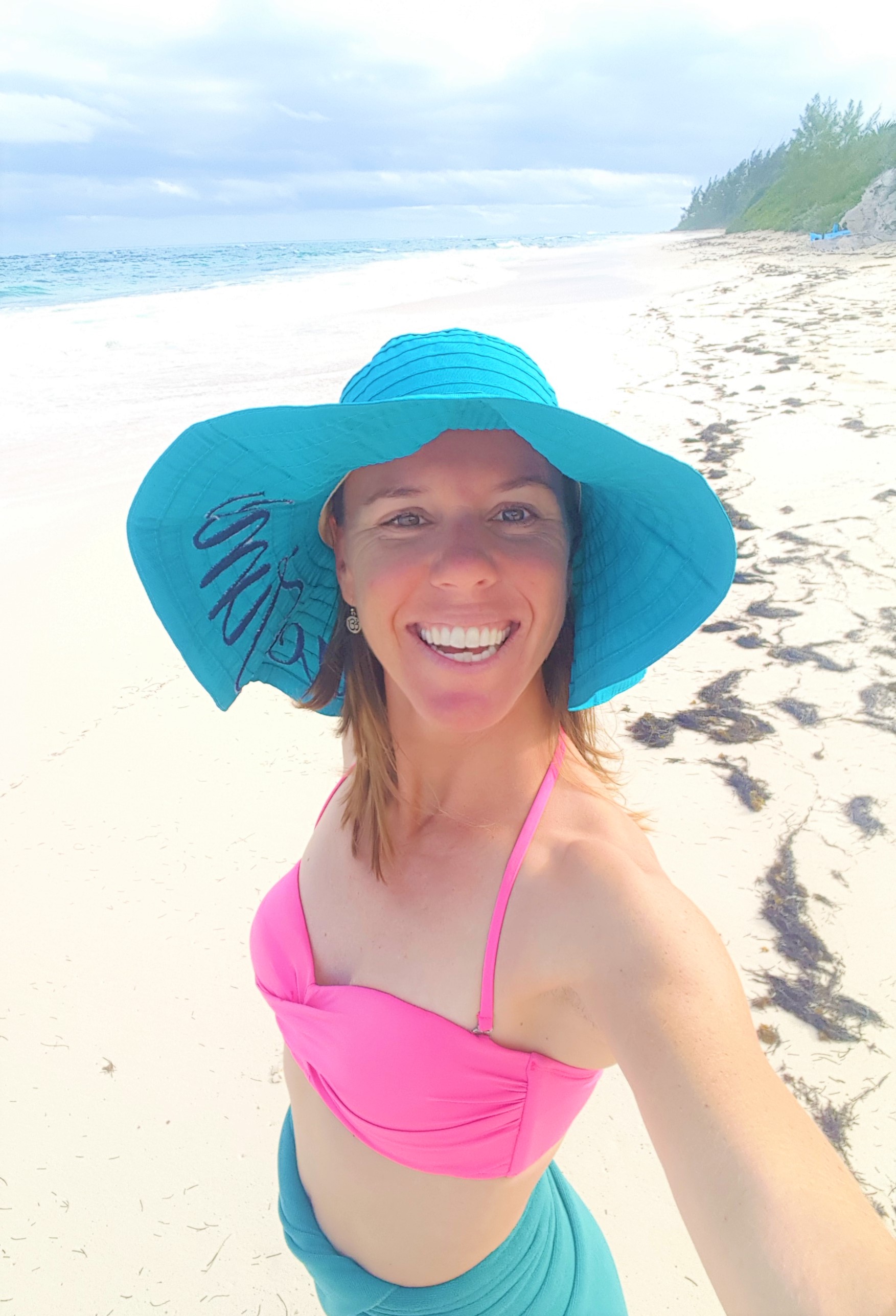
We upped the anchor early the next morning so we could get tucked into the anchorage at Rock Sound by lunchtime. It was a beautiful sail down and we got anchored up in the north end of the sound just a couple hundred yards from a cool little restaurant and bar called Frigates which happened to have the only dinghy dock in town. The owner, Gino, was very friendly to cruisers; happy to let people tie up to his dock for access to town. He also had a special for cruisers at his bar…$20 for 6 Sands beers! That is about half of what most Bahamian bars charge for beer! The main bartender, Nathan, was also an awesome guy and we enjoyed many a “6 for $20” special at the bar with him during the week we were anchored here. Life got even better as I found out that Nathan was a Patriots fan (probably the fourth or fifth native Bahamian I have met who is a Pats fan) and would have the Super Bowl live on all the televisions with the sound on! I had not known where we would be, or if I would get to see the game, so this was a big bonus! Oh, and in case you missed it….we WON.

Frigates

Rock Sound from Frigates

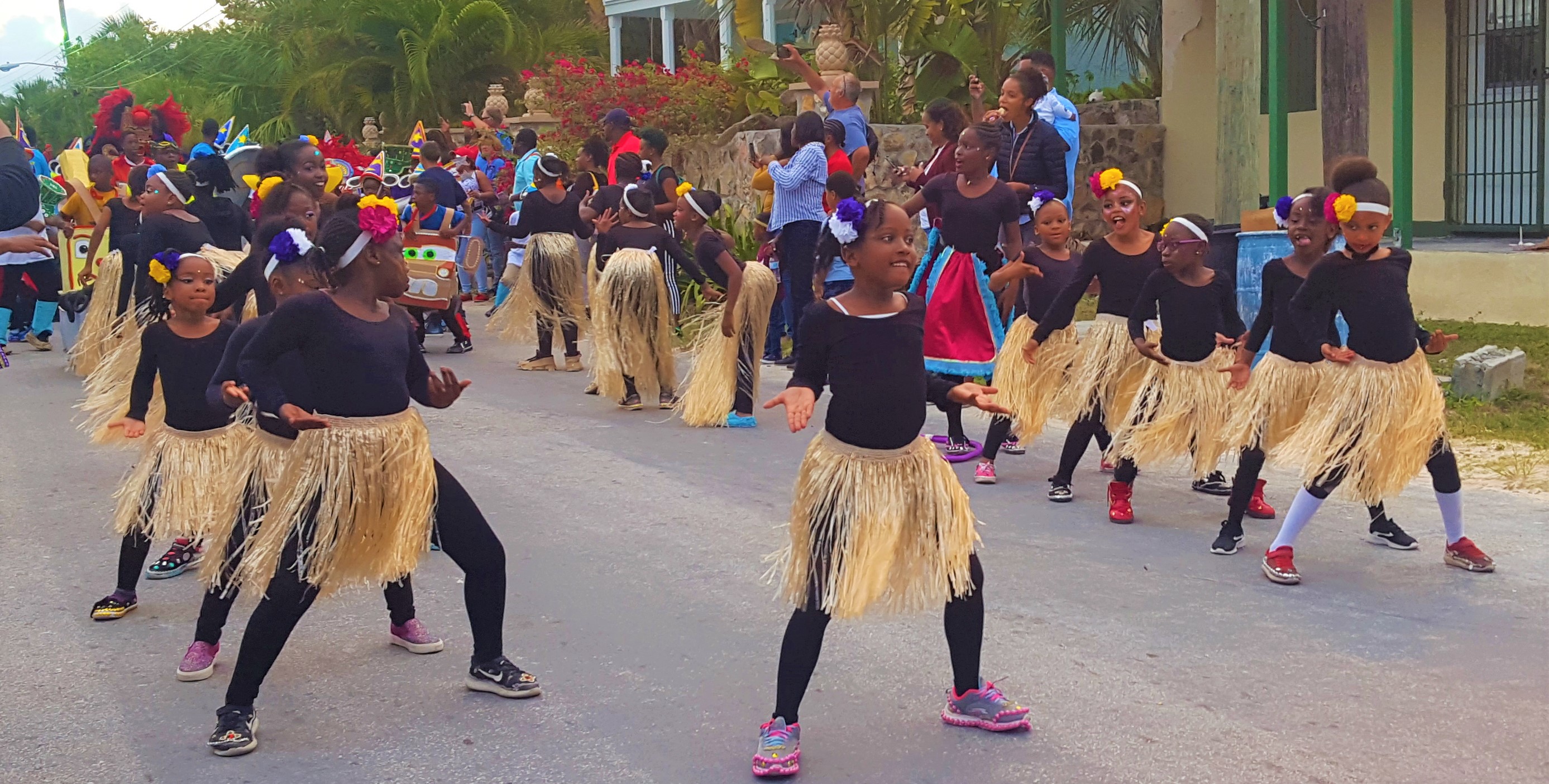
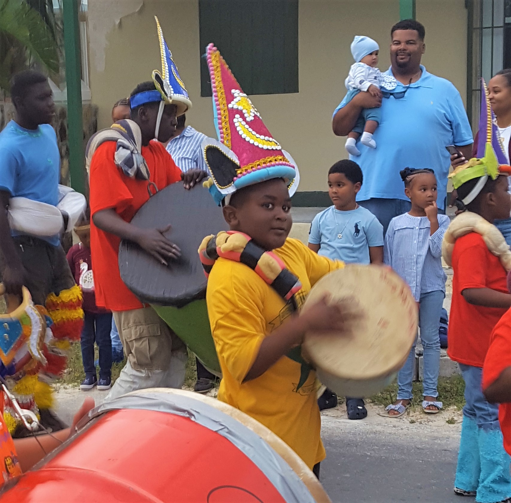
The Saturday before the SuperBowl, we found out that the town was hosting an island-wide children’s Junkanoo competition. Many of the schools from all over the island would be performing a Junkanoo march through town. The kids costumes and routines were nothing short of amazing. The amount of time and work that they must have put into their costumes and choreography cannot be understated. It was beautiful. Junkanoo’s origins are debated, but it is basically a street parade and festival where elaborate, themed costumes are created and dances are choreographed to music dominated by goat-skin drums, whistles, and cowbells. Even for their young age, these kids have an impressive musical talent which is fostered heavily in their Bahamian culture.

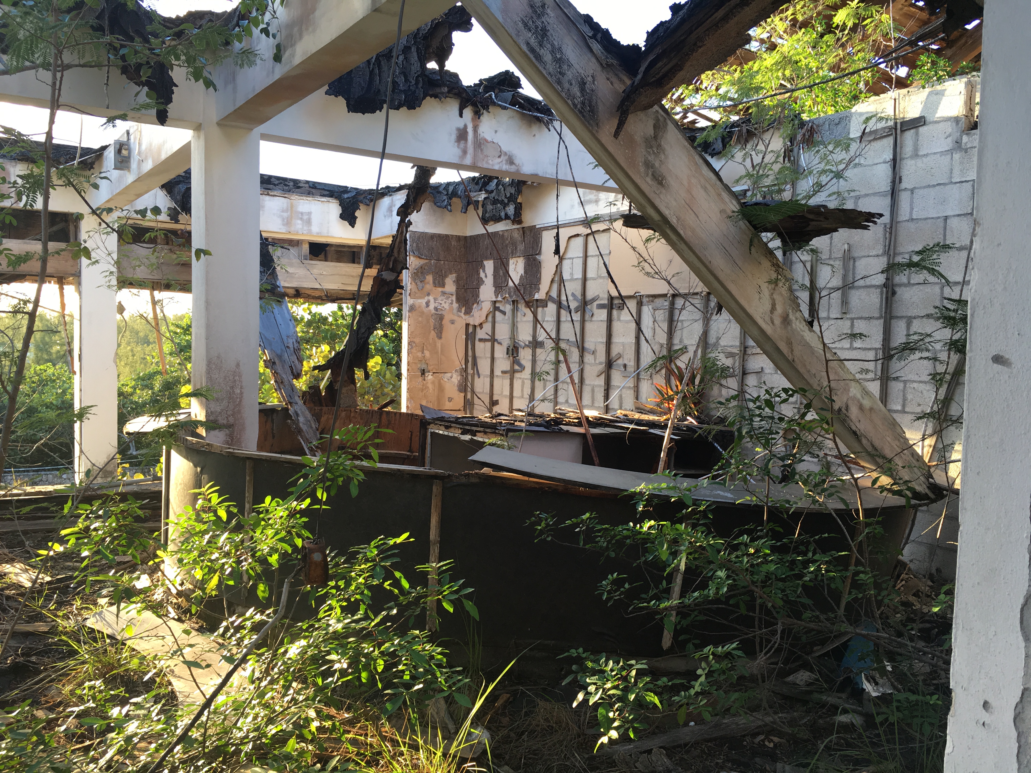
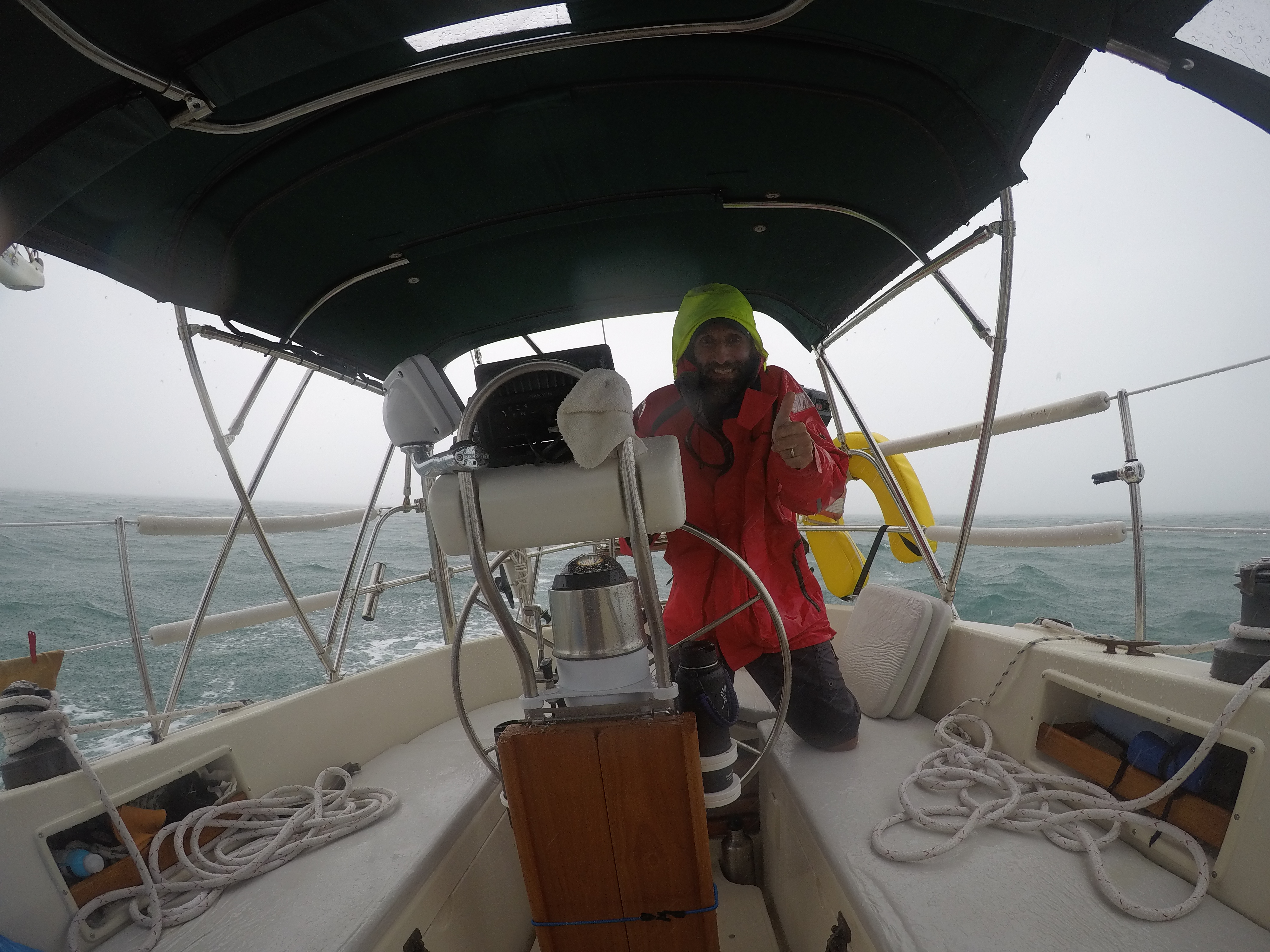
The next day was all about getting ready for the major cold front and the associated wind and weather that would be arriving soon. We followed the lead of our friends on SV Holiday and moved across the harbor to an area which in theory would be more protected from the strong winds that were coming. Our preparations paid off…the wind and rain were even stronger than forecast. We had about 2 hours of excitement where the rain was so hard we could not see any of the other boats near us and were bouncing around in 2-3 ft. rolling waves. This was made the more disconcerting as another boater had anchored very close to us…and of course, upwind! This meant if he dragged his anchor, it was likely that he would be on top of us before anyone had time to react. Thankfully, all was well and the storm passed. It was still windy for the remainder of the day, so we stayed on the isolated side of the island until the next day, when we motored back over to anchor off of Frigates Bar to ensure more “6 for $20s” (hey, priorities people).

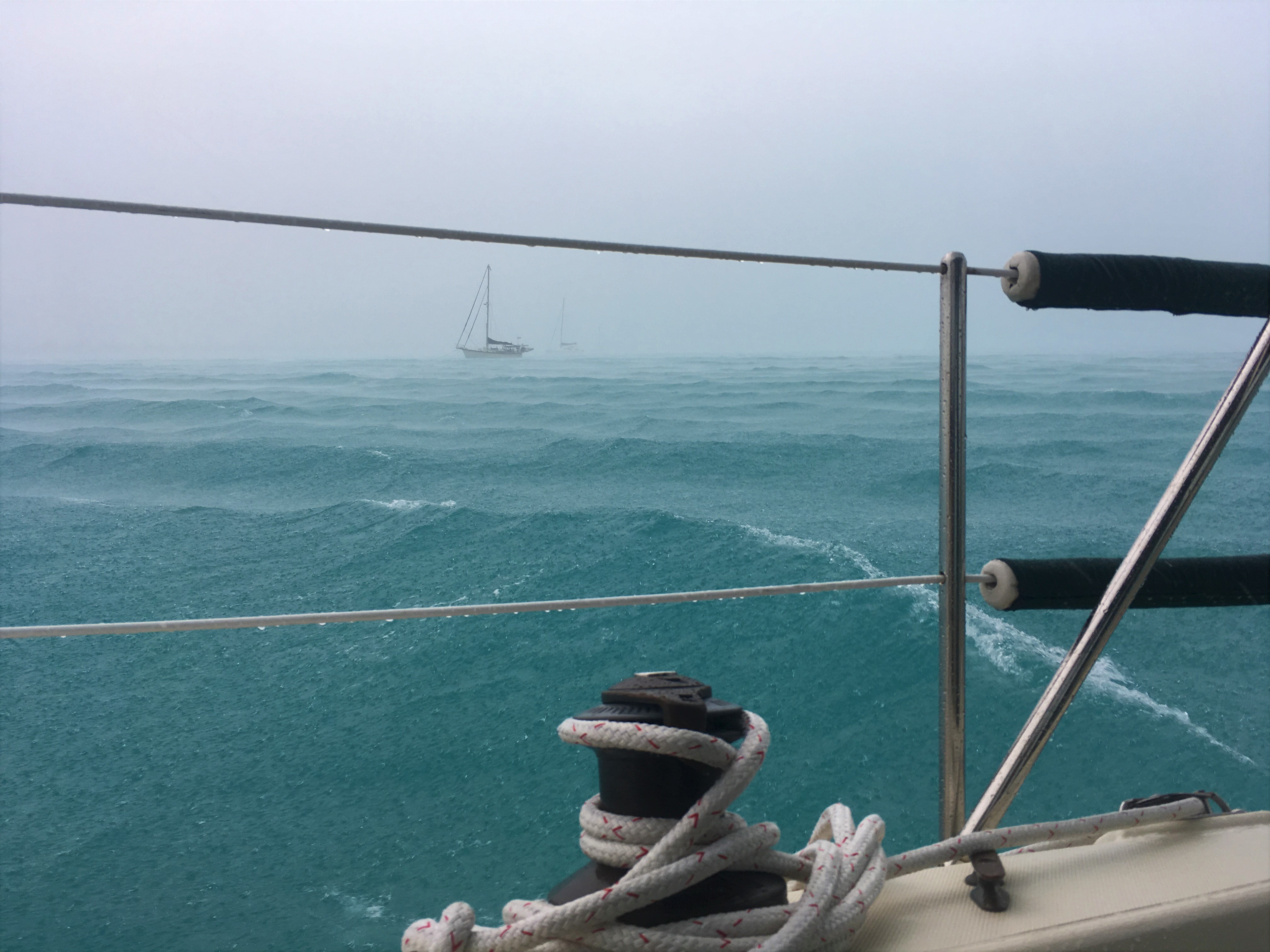
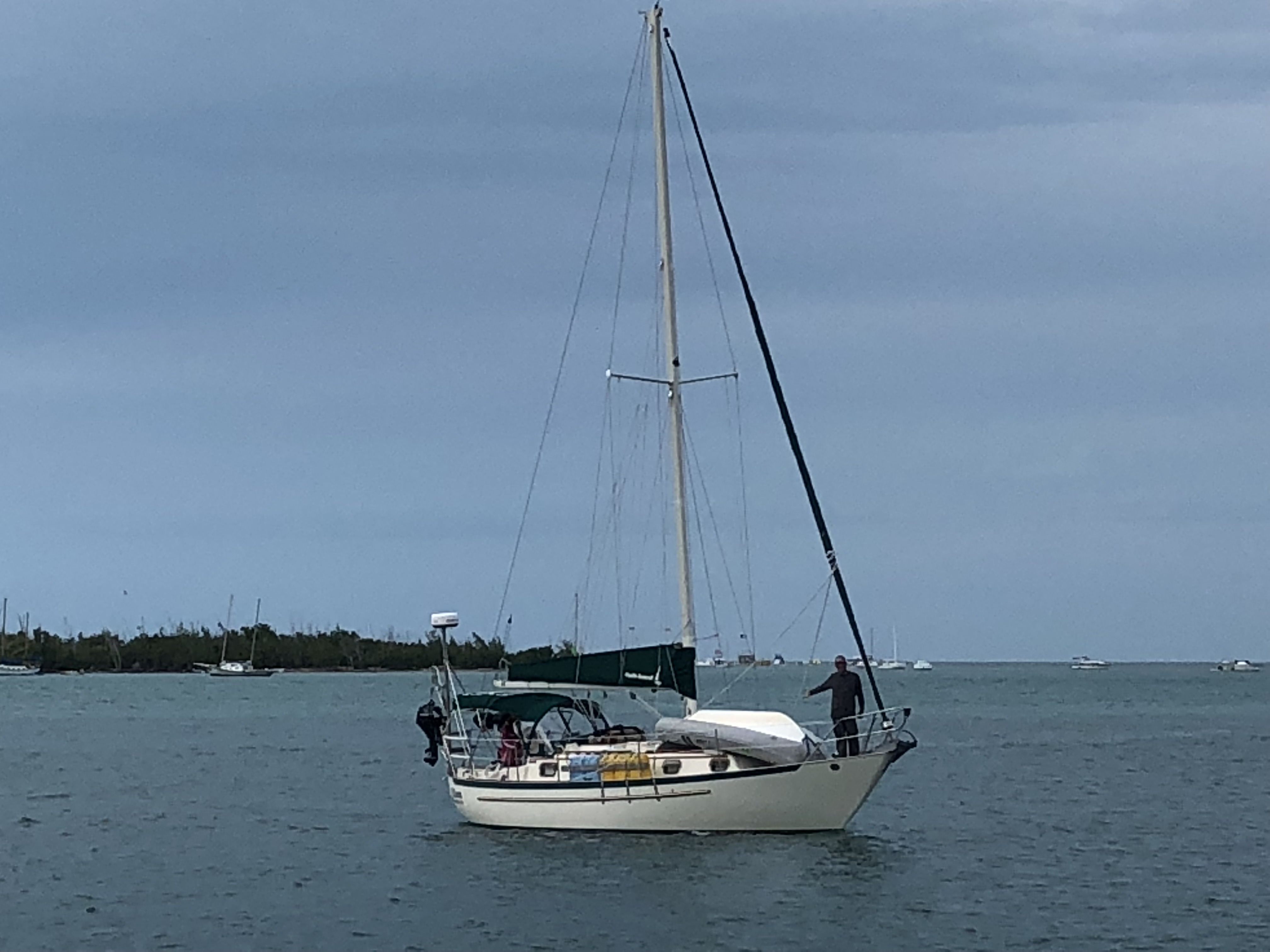
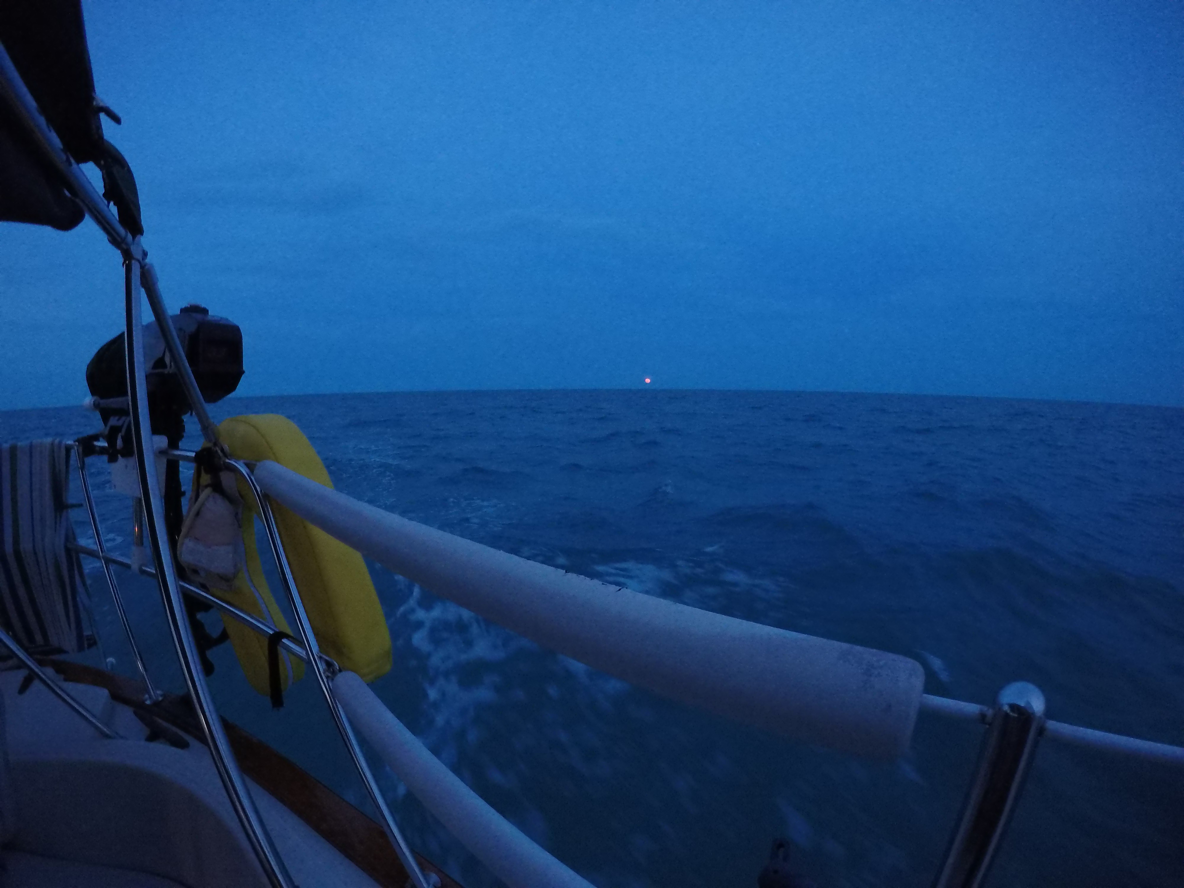
Riding the Storm Out!

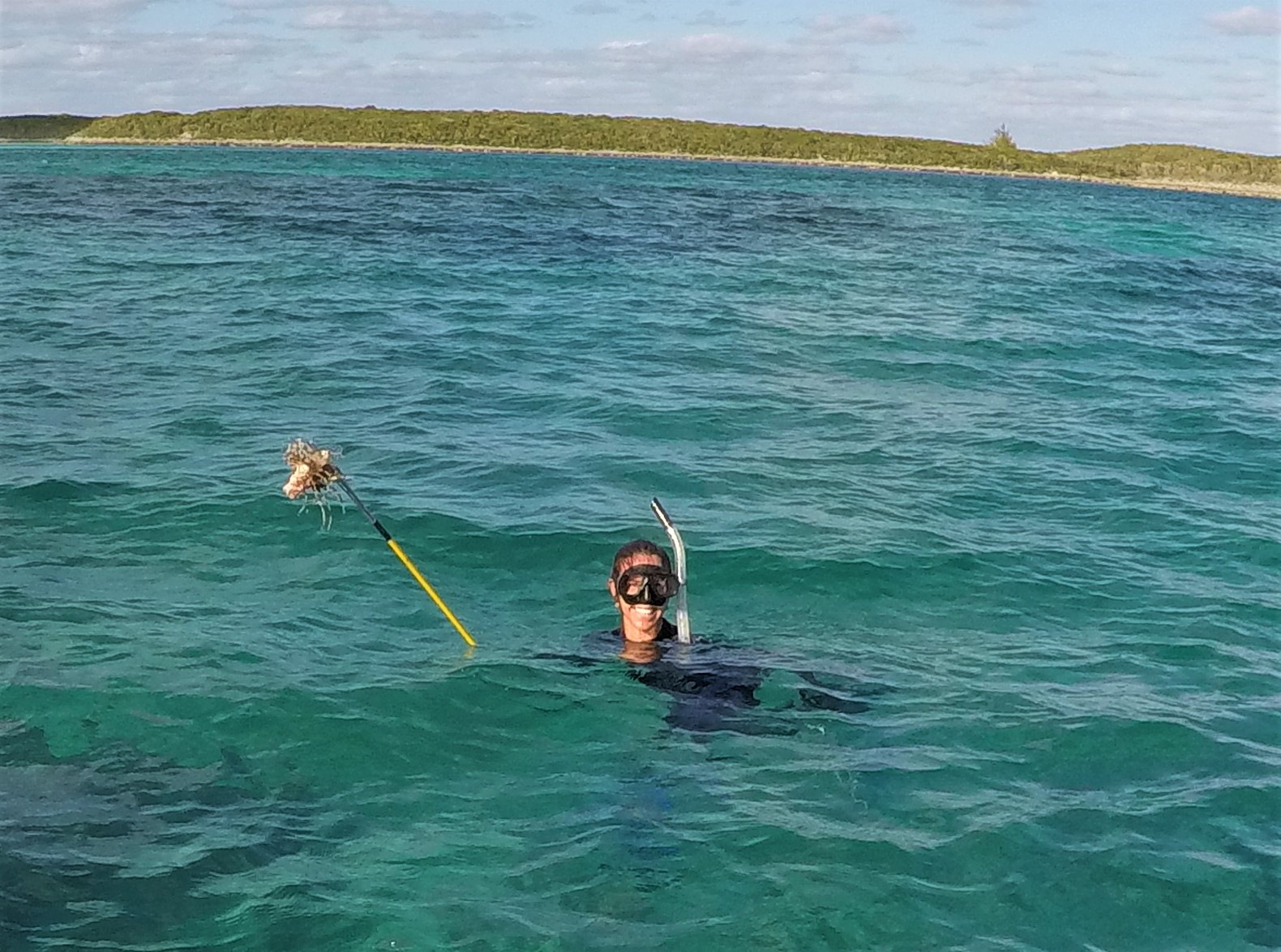
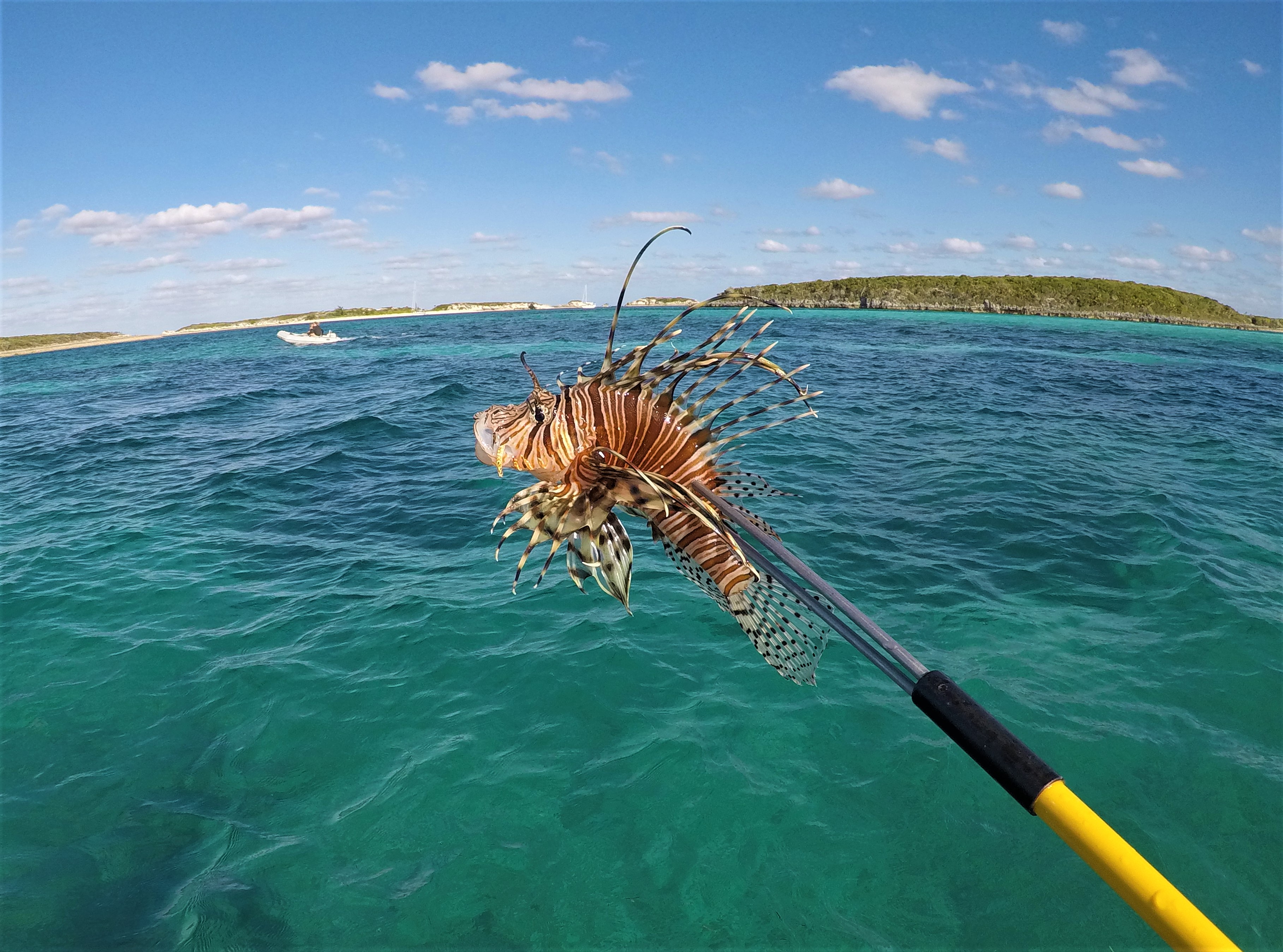
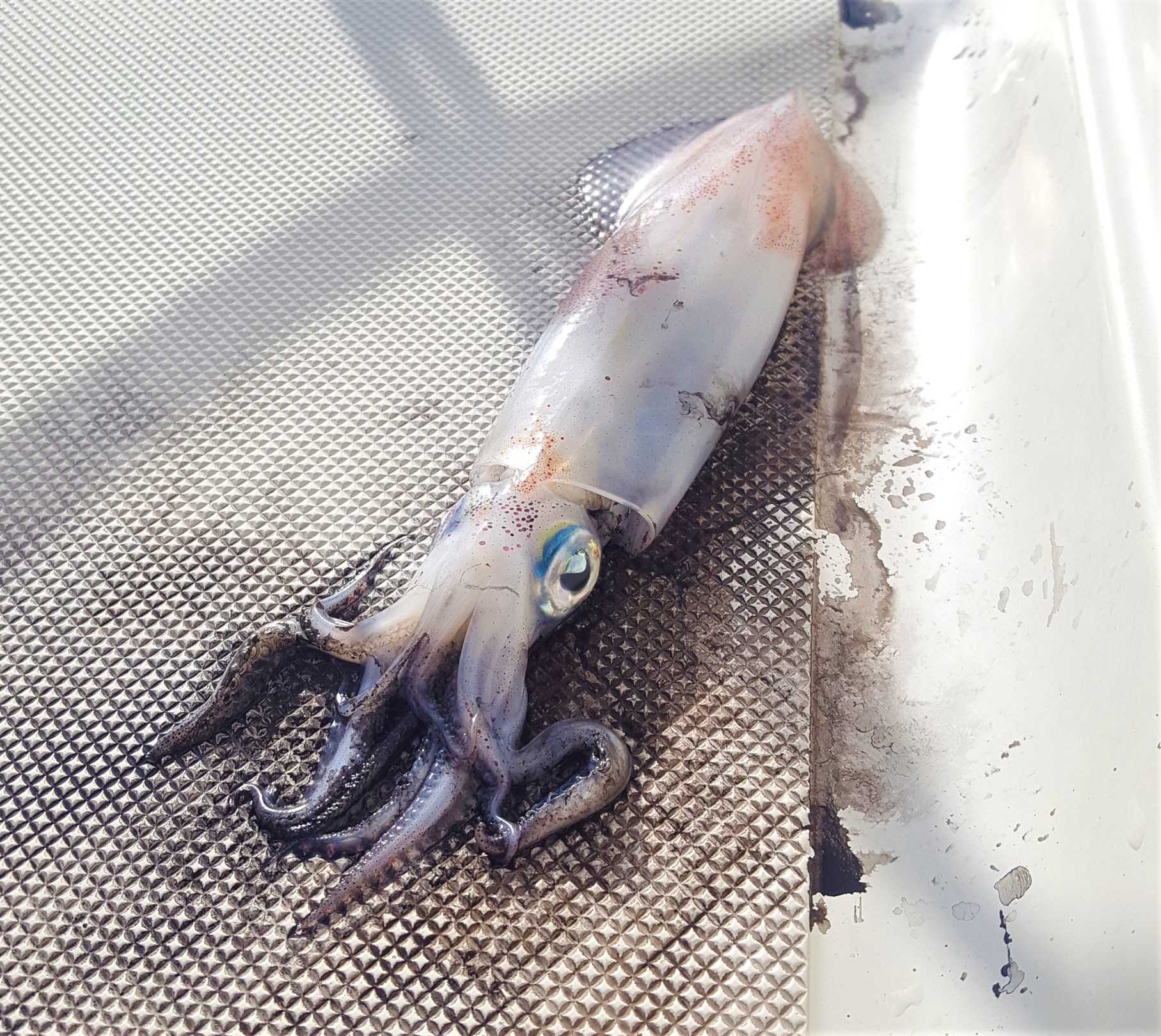
That morning, we were shocked to find a dead squid on the deck! He was apparently not able to find his way back to the water in the night after jumping up on deck for whatever reason. He had spewed his ink everywhere…it was a mess. But the cool thing Celia noticed was that he was still actively changing colors on part of his body. Apparently, his chromataphores (cells that contain pigment and reflect light allowing an animal to “change color”) were still firing even though he was clearly dead. So cool to get a closeup of that! We were sorry that he ended his watch on our deck, but he certainly would make good bait.

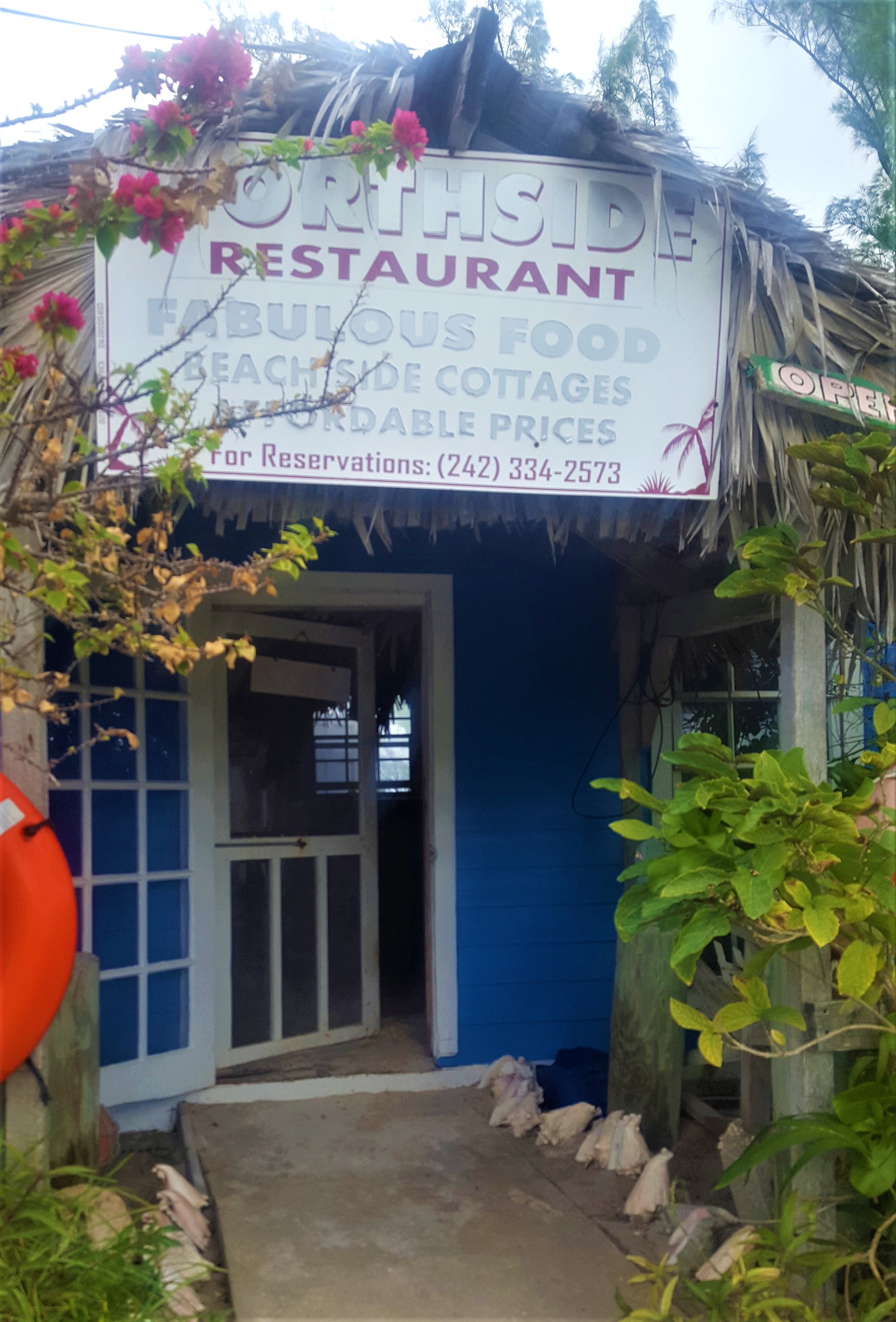
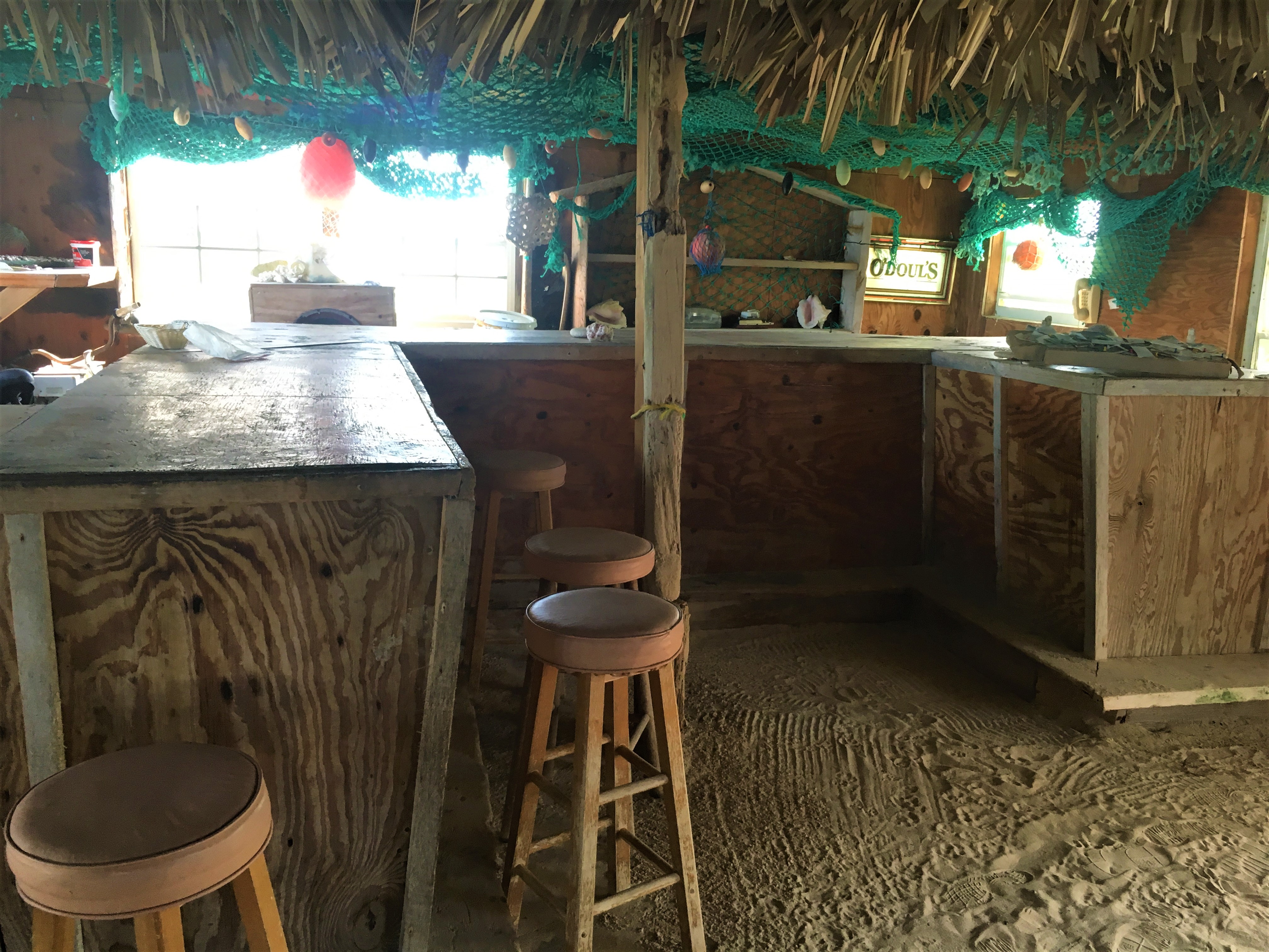
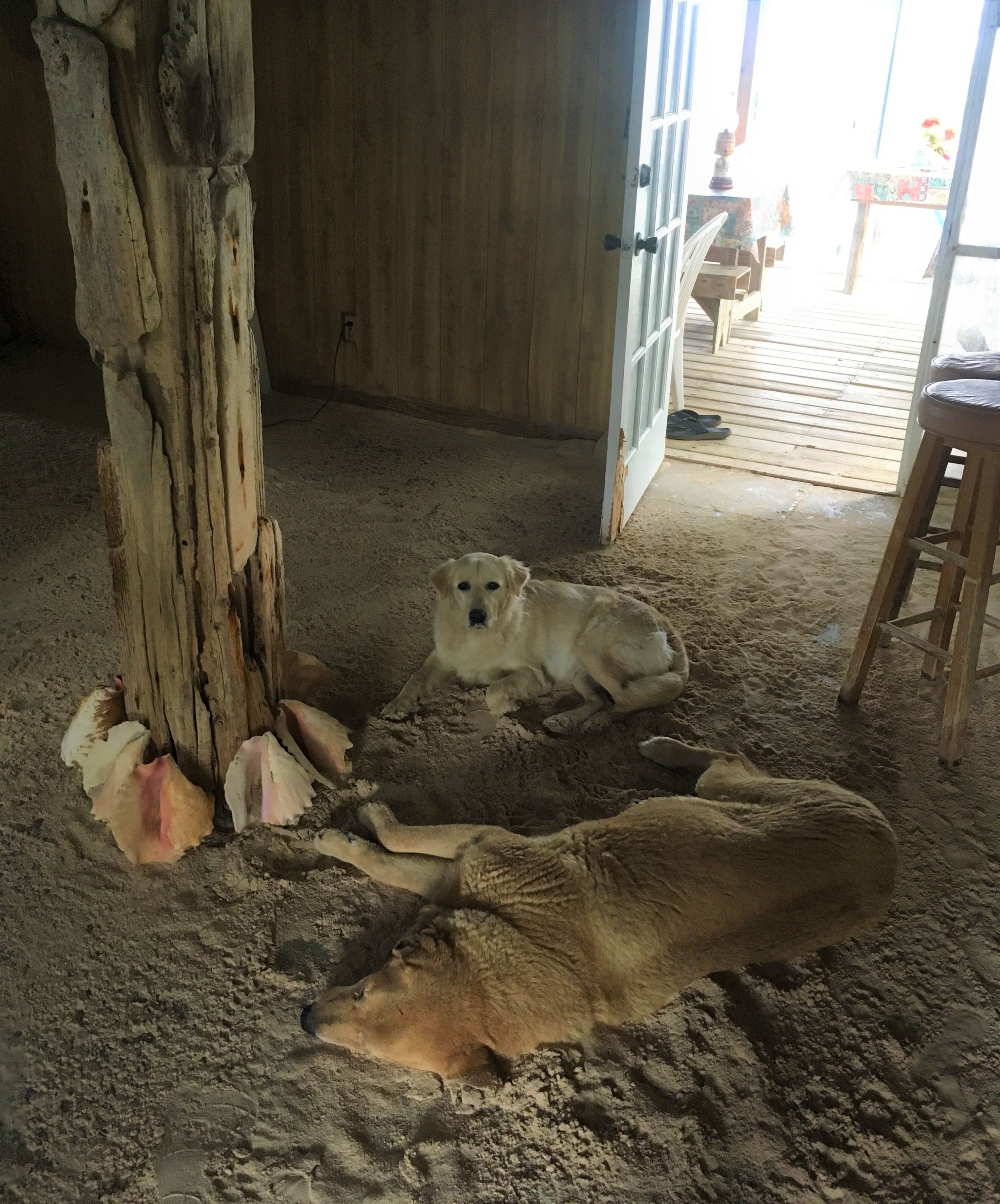
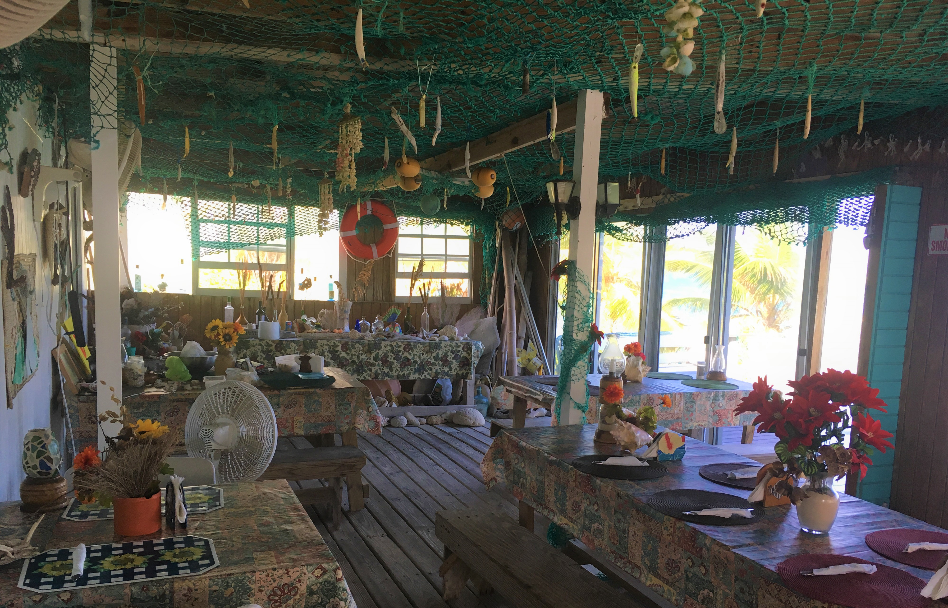
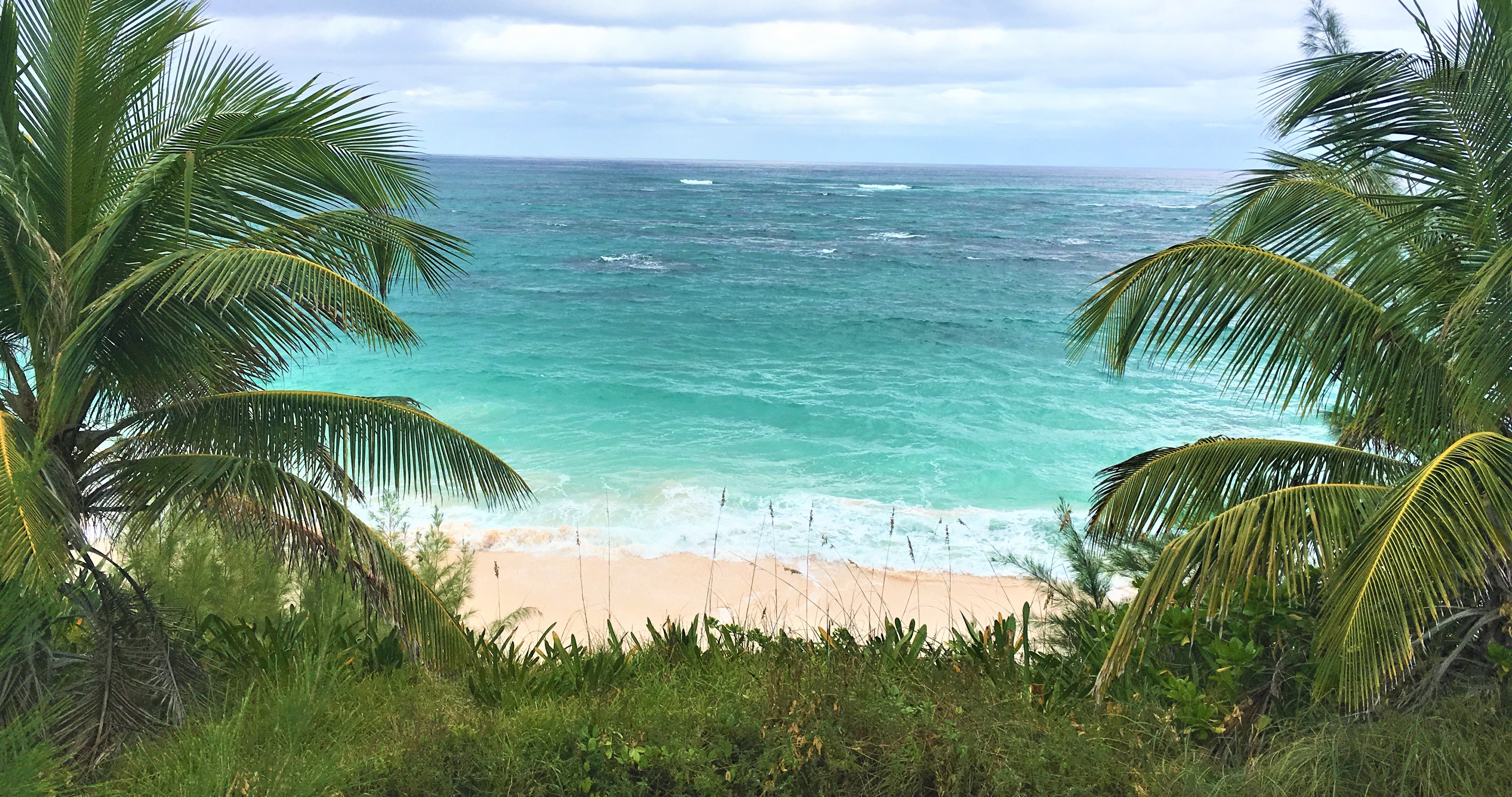
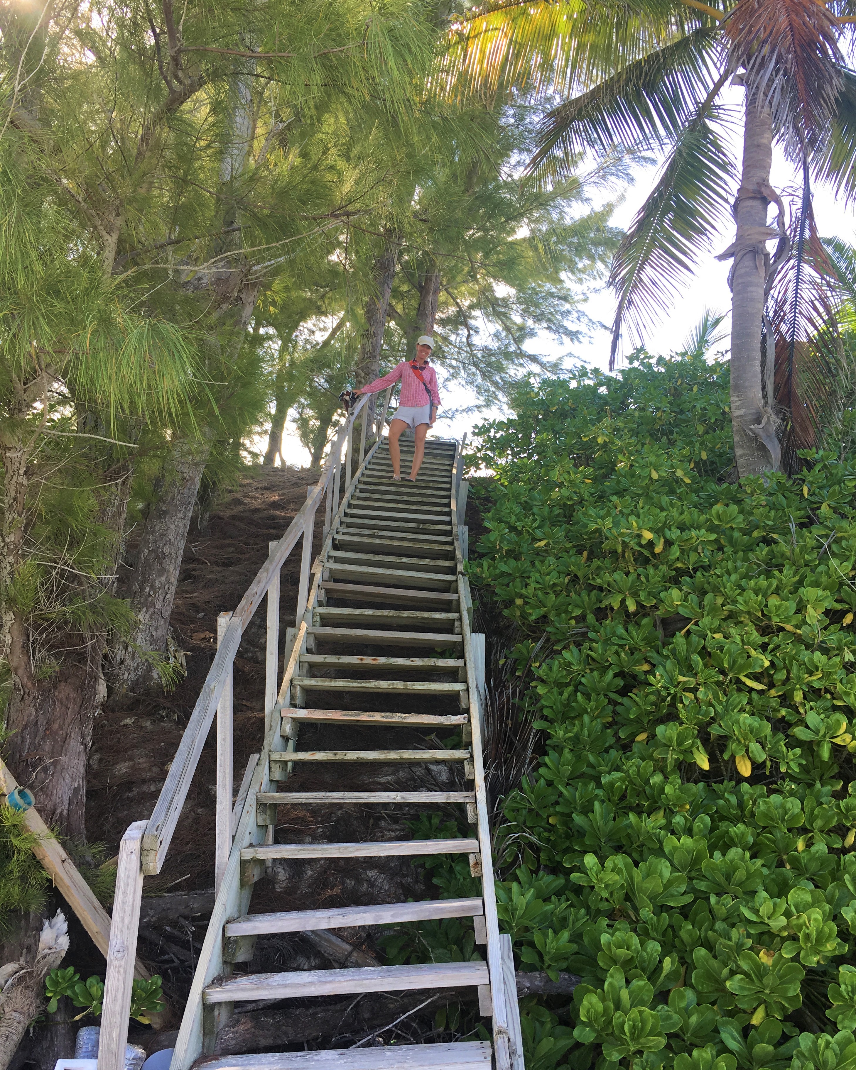
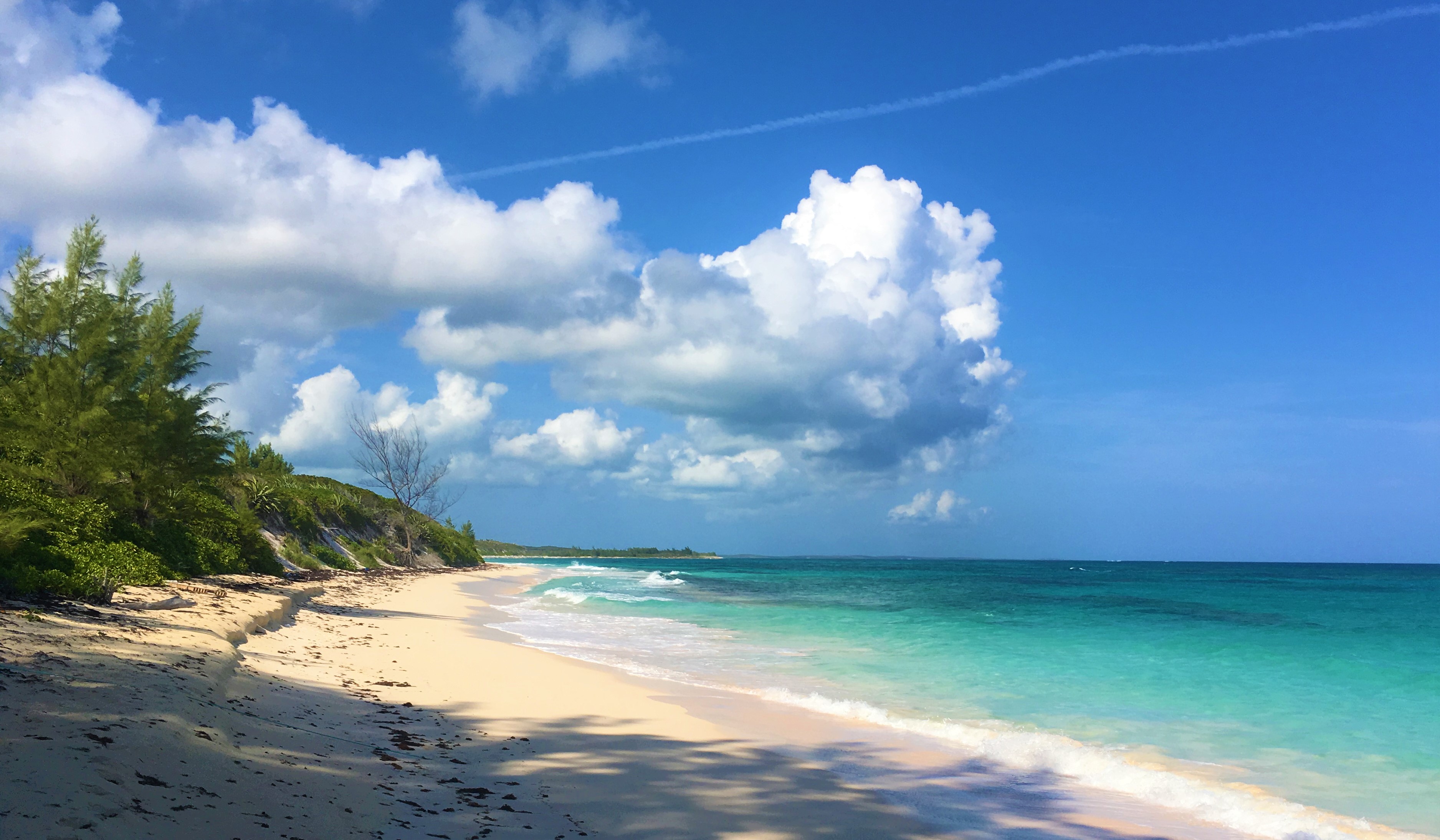
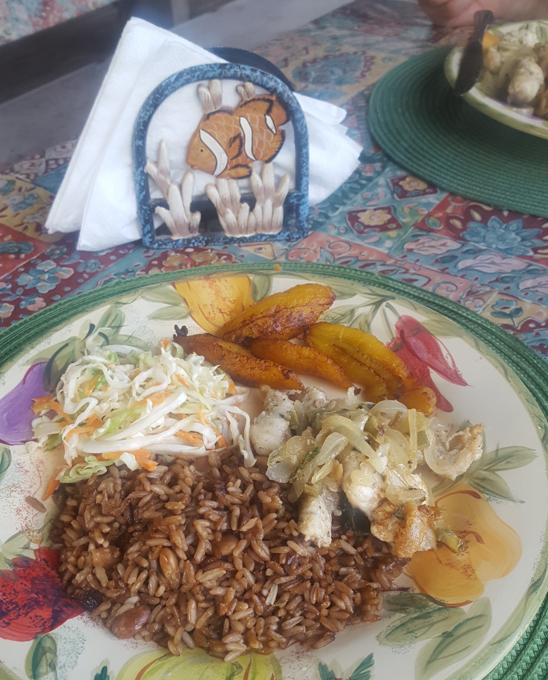
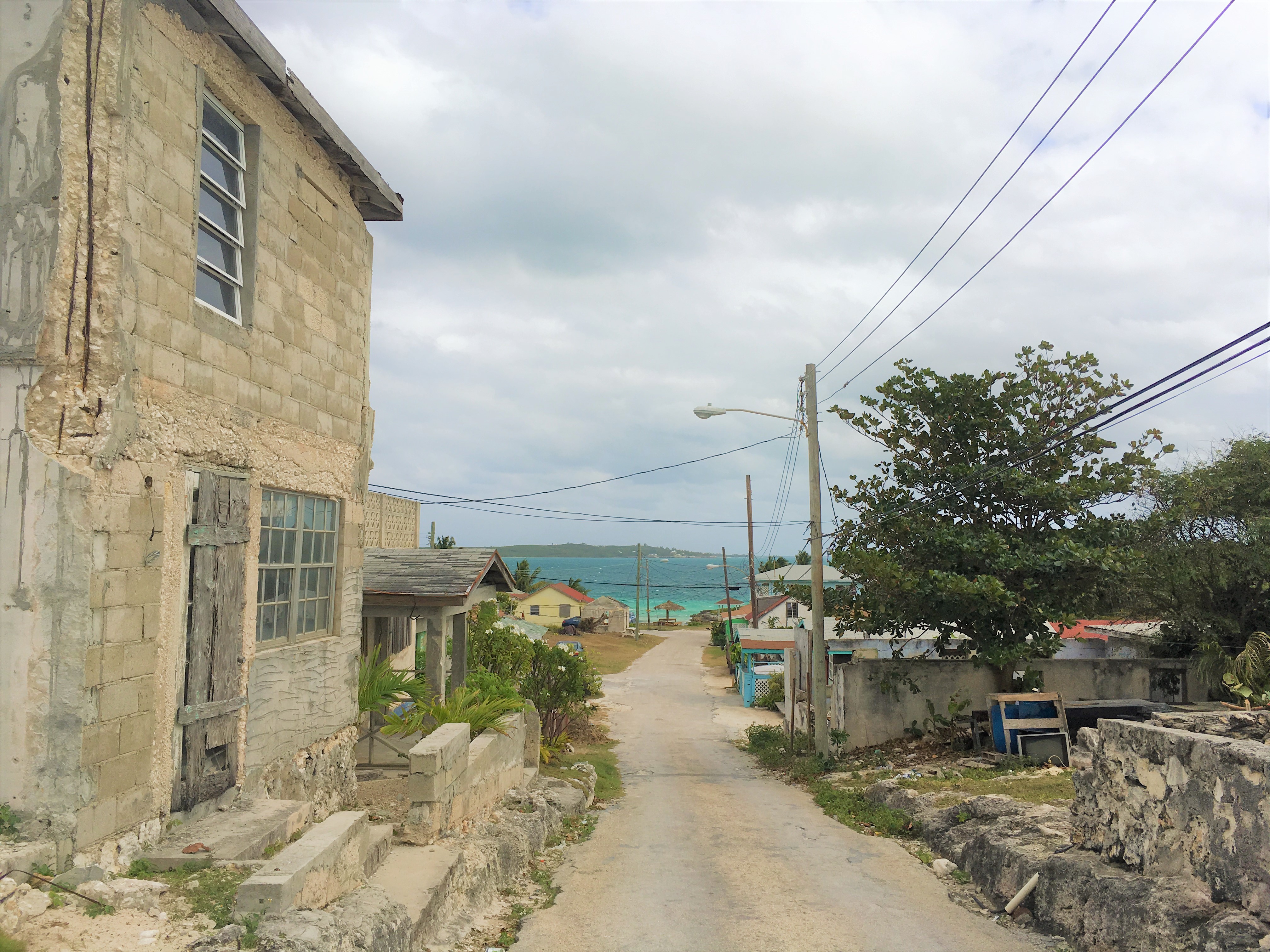
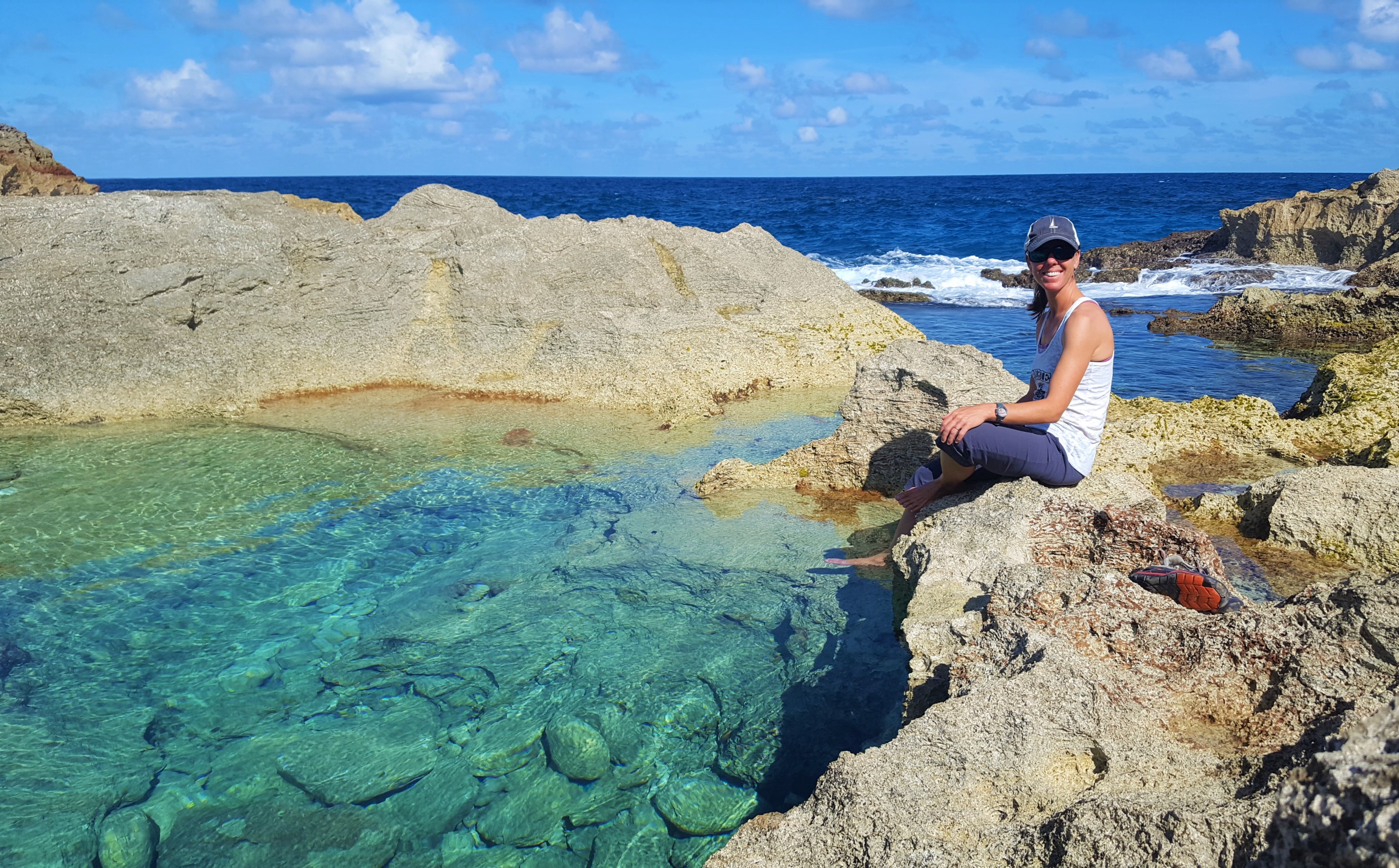
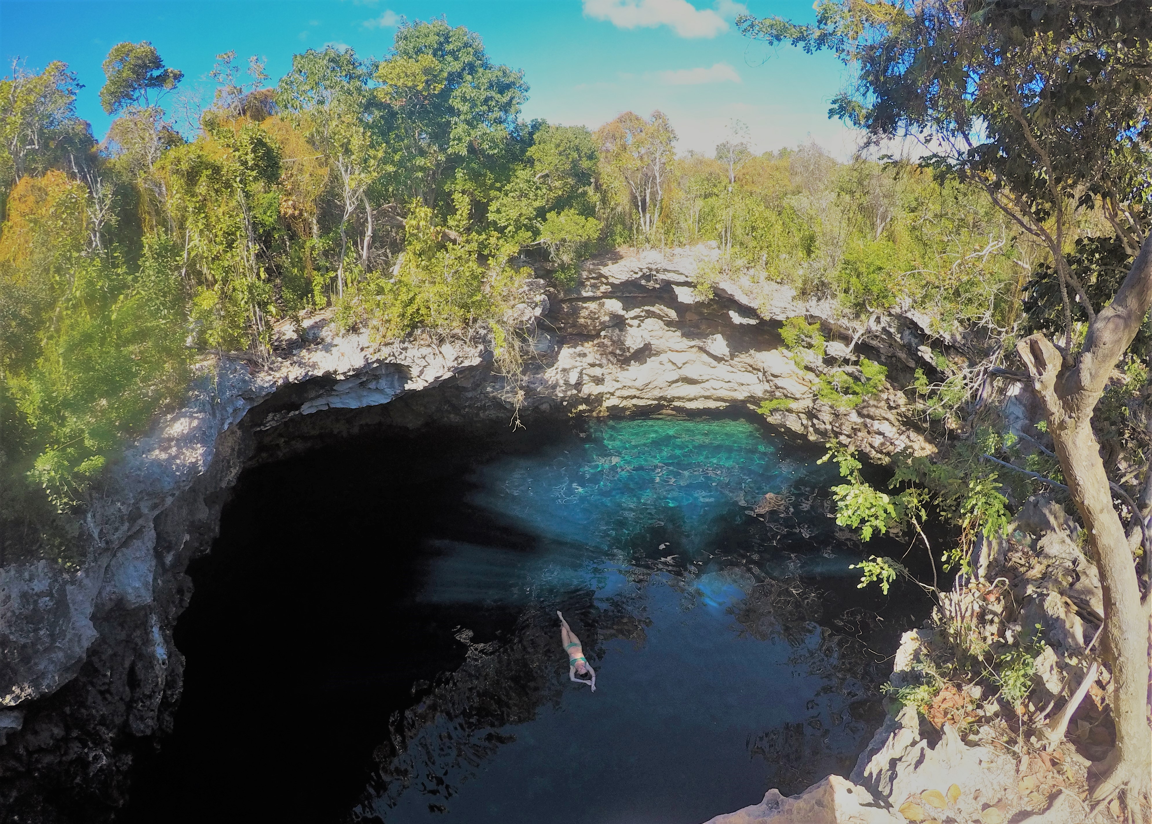
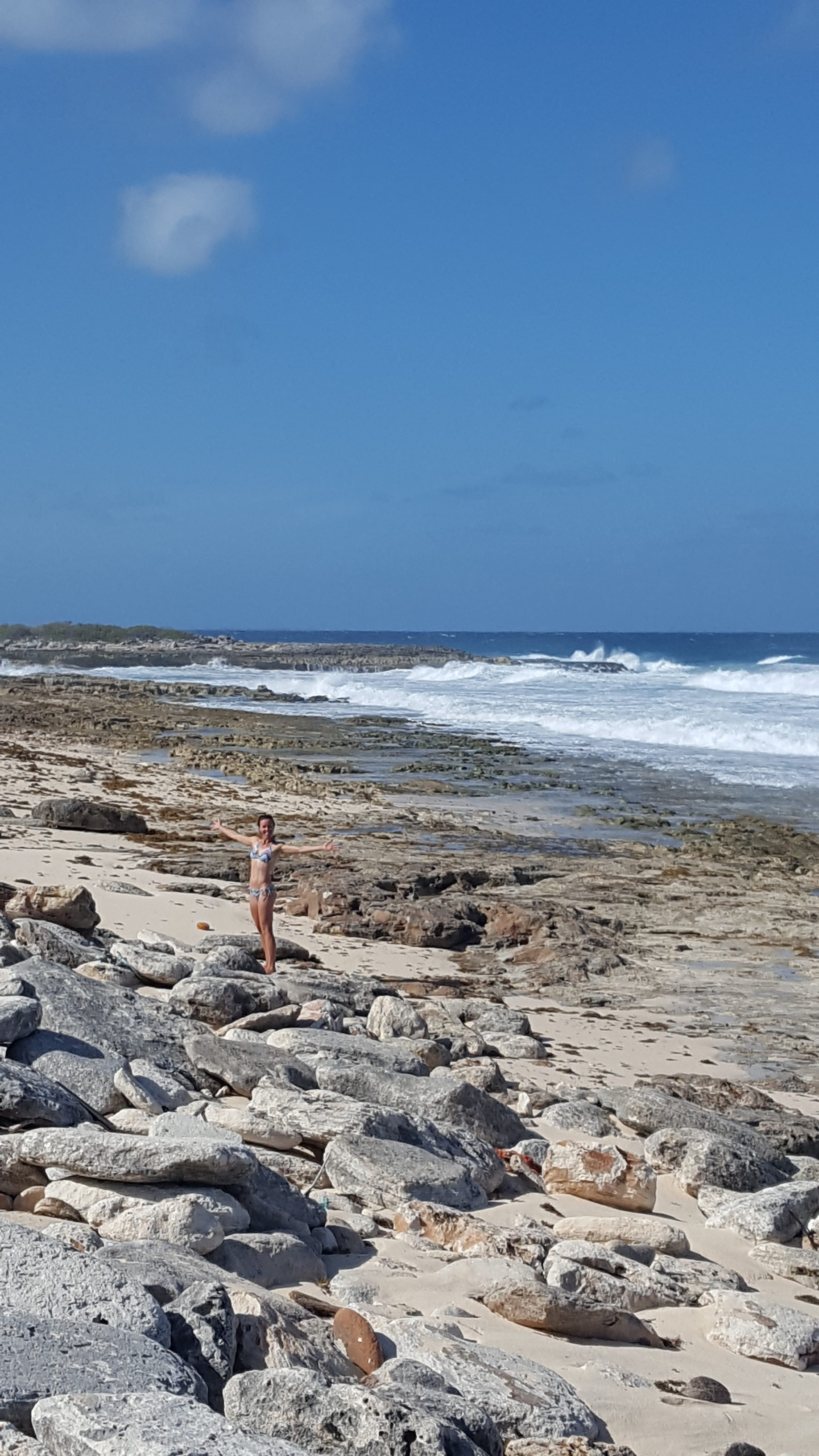
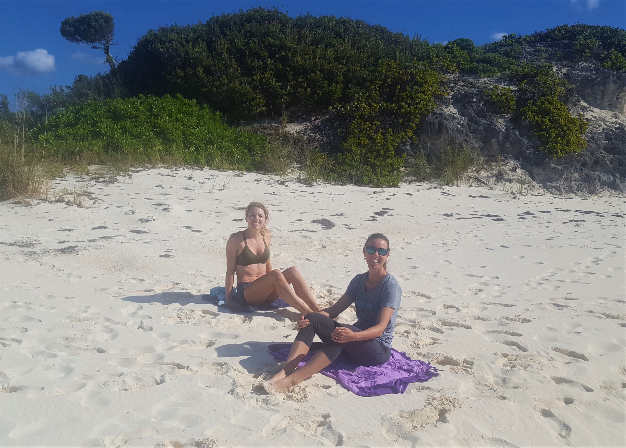
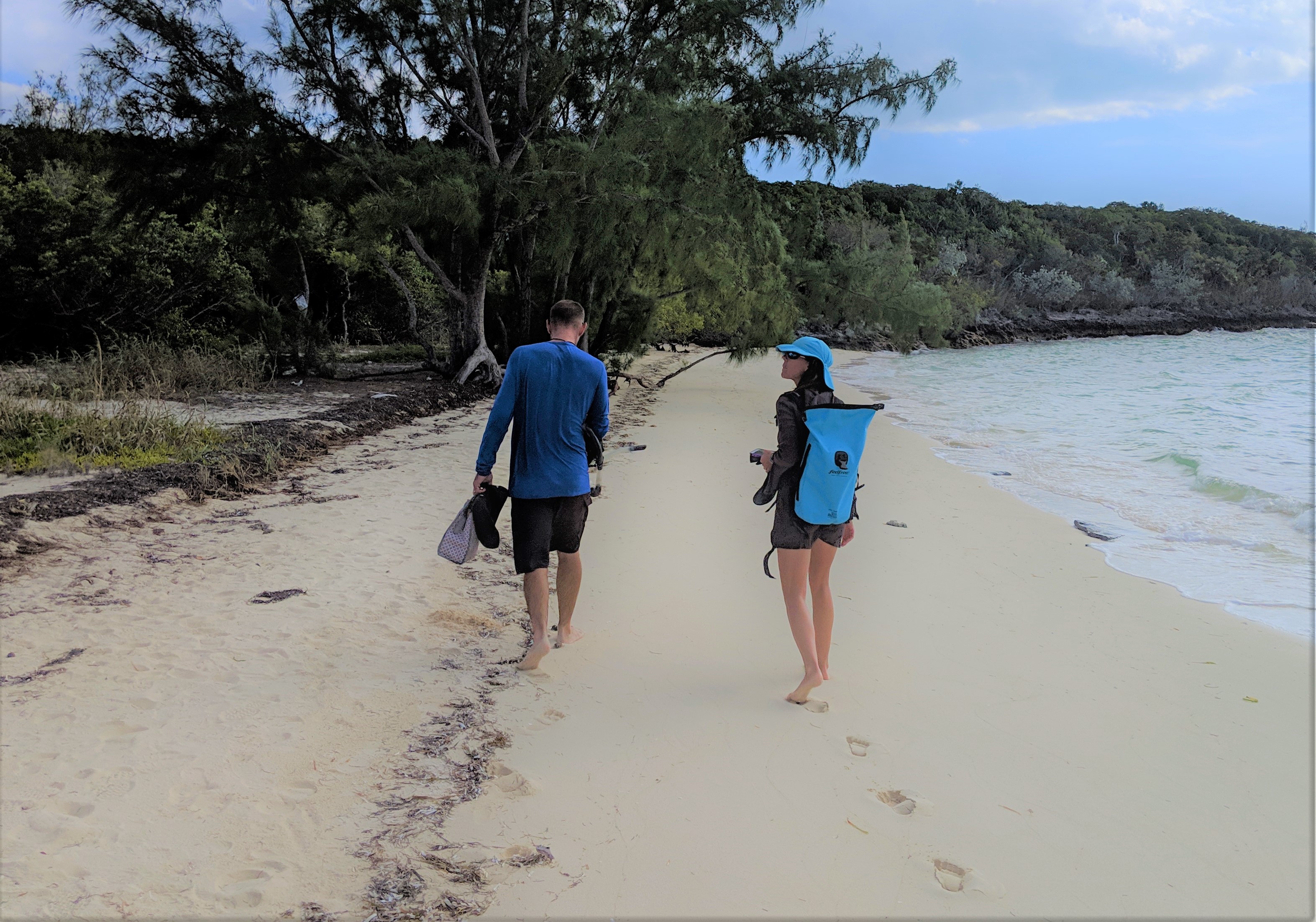
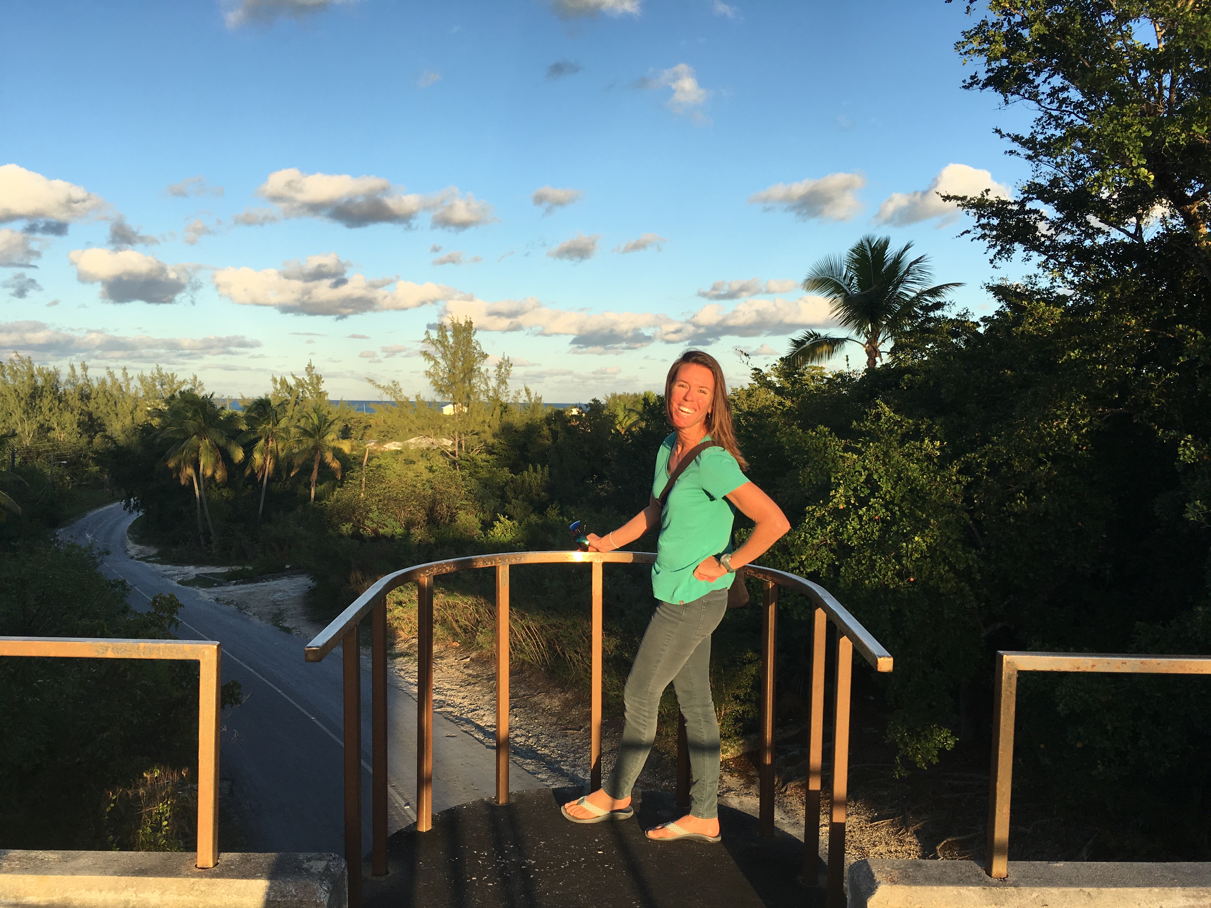
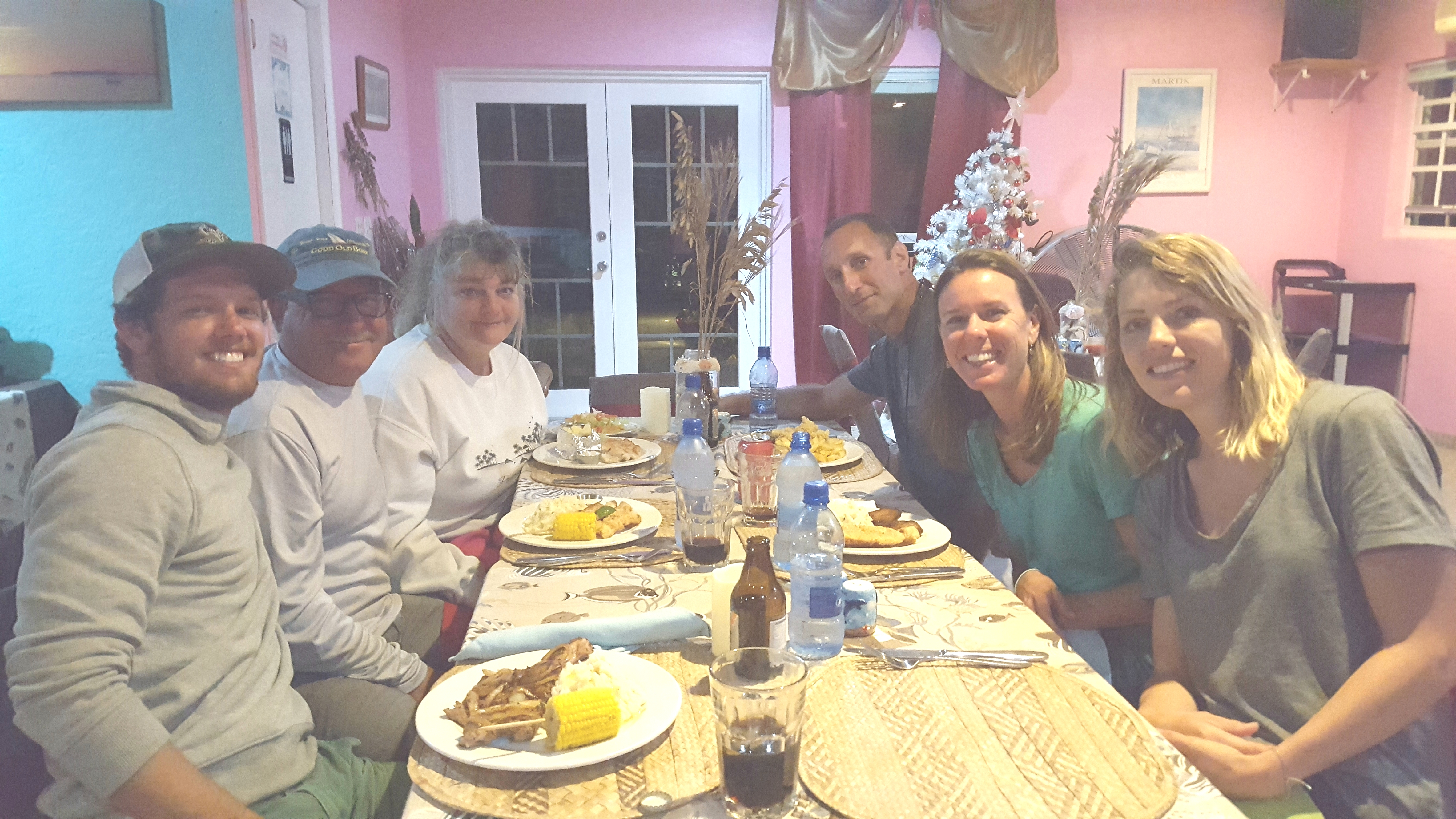
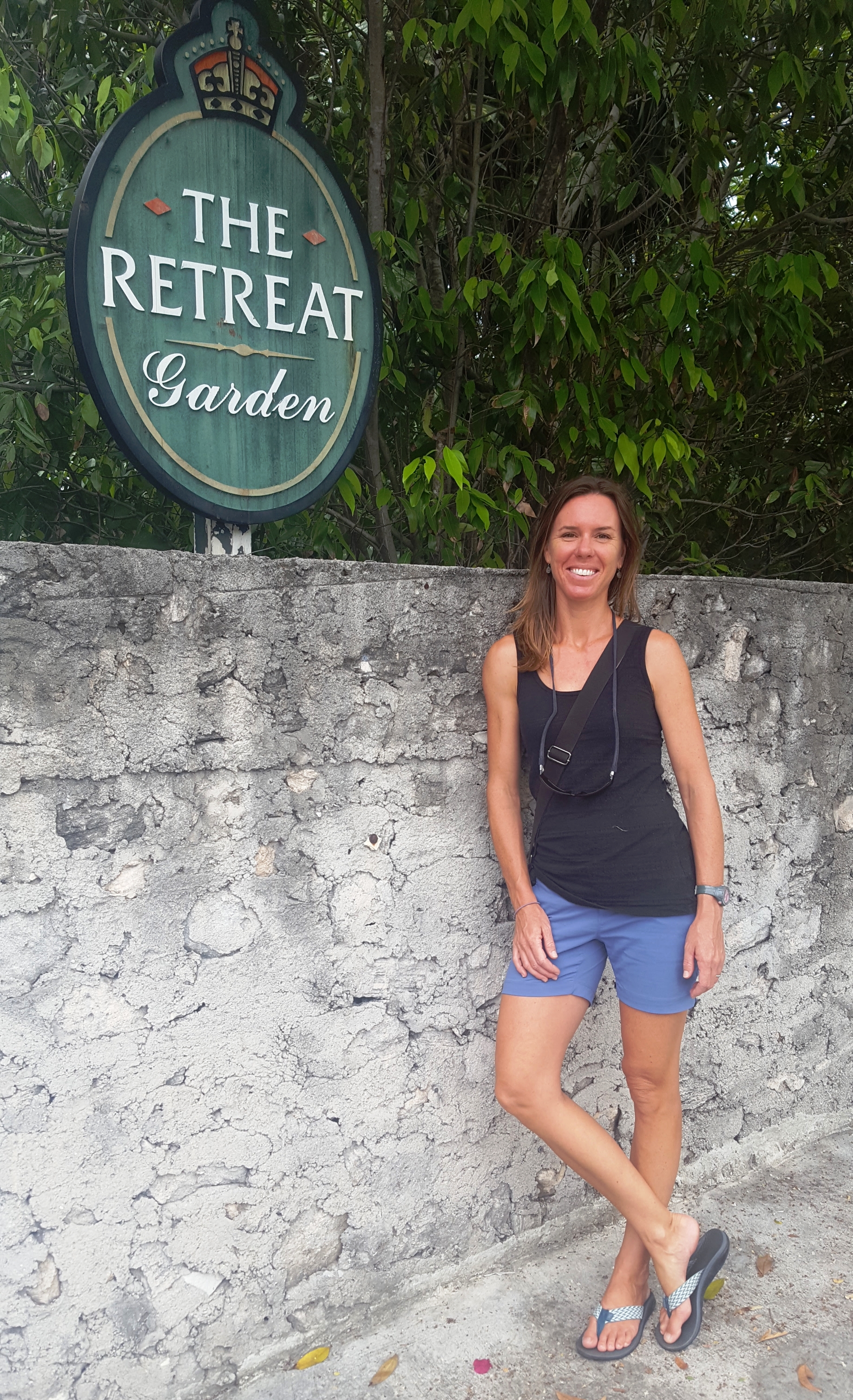
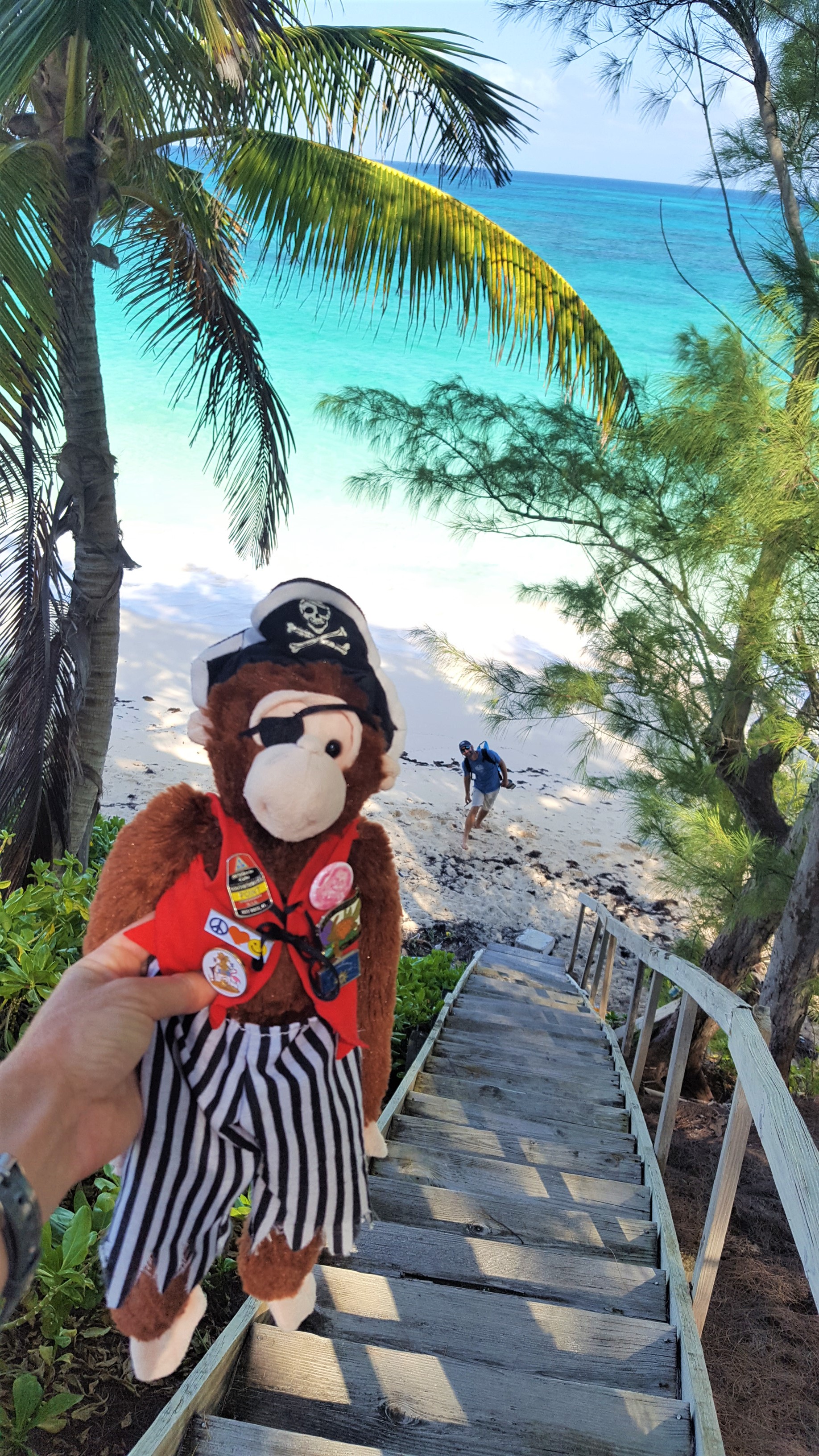
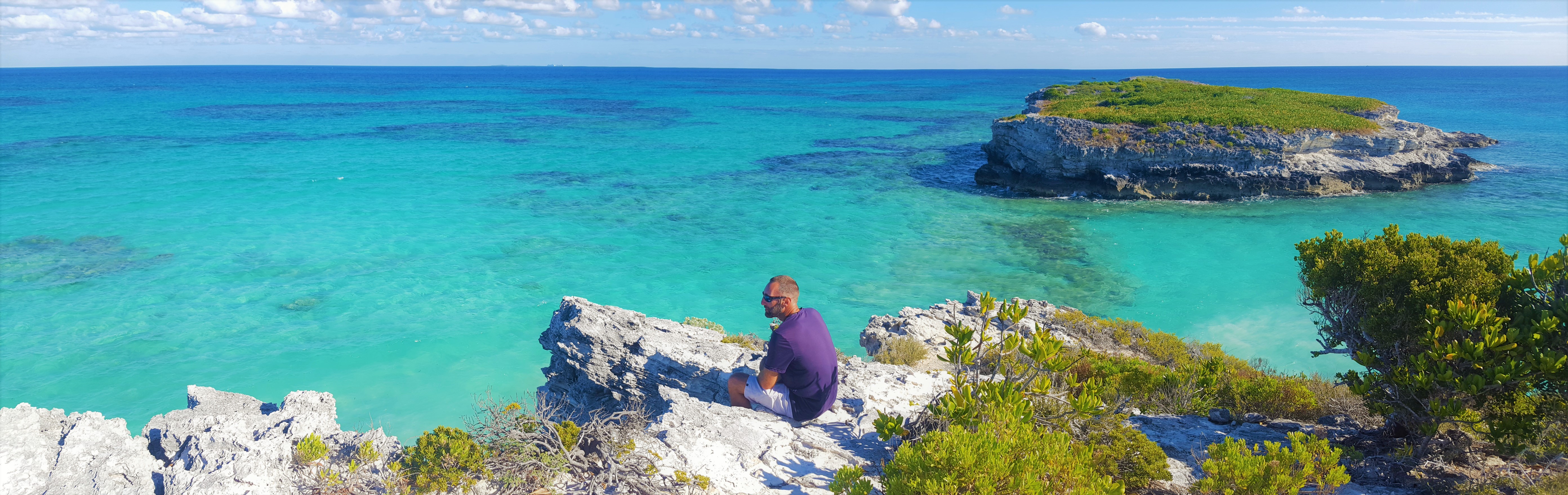
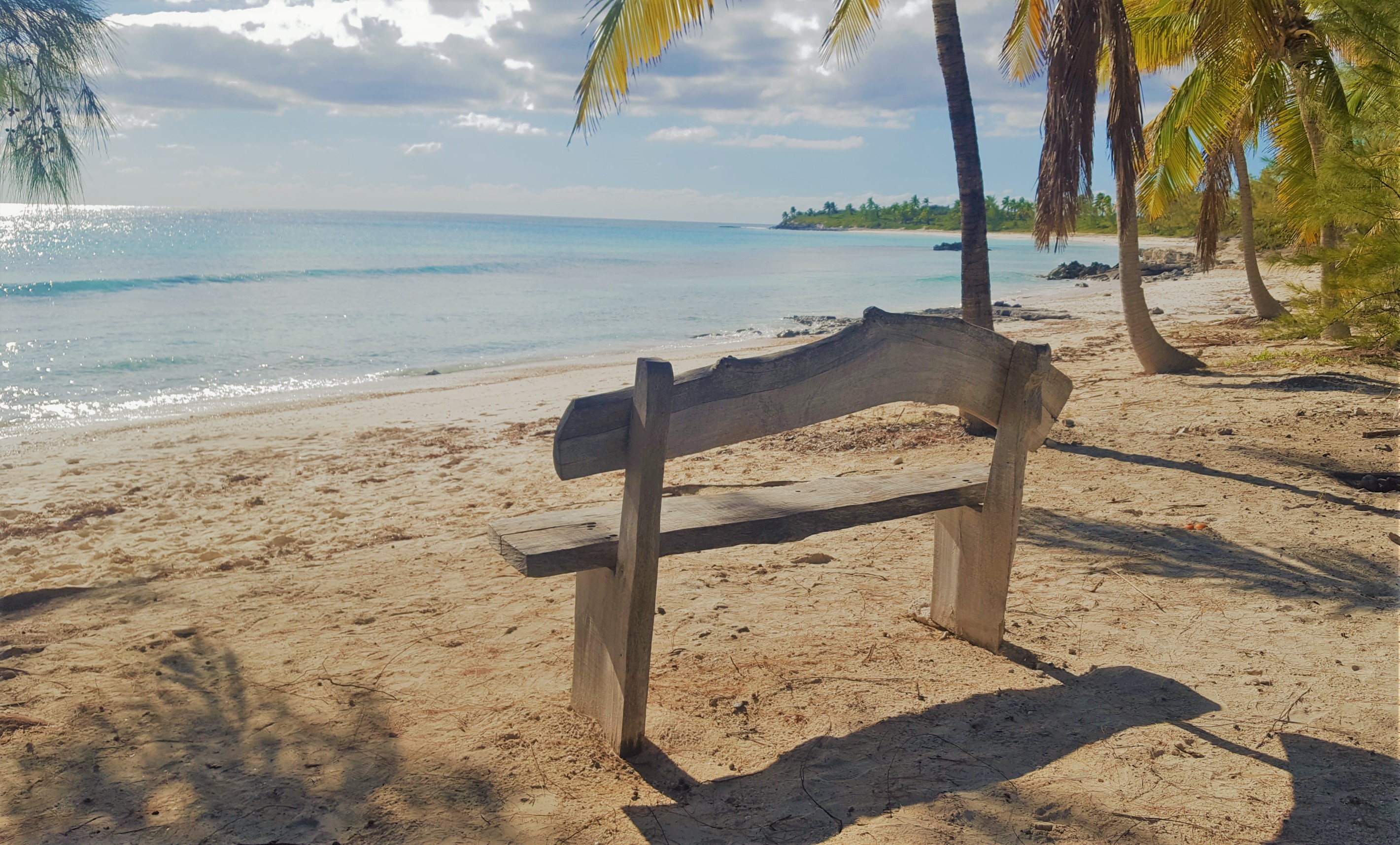
Rock Sound is on the protected west side of Eluethera. The east side is open to the Atlantic and has some beautiful beaches. Although it would be a few miles of trekking, we decided to walk through town to the Ocean Hole and then make our way to the beaches on the other side of the island. The Ocean Hole was impressive in its own right and uniquely situated right in the middle of town. However, the few times we walked by it, there was never anyone there using the park or swimming in the blue hole…it seemed more oddity than attraction. It was on to the beach! About 2/3 of the way down the long dusty road, we realized it was very hot and we had not provisioned enough water to last the day. Just then, up pulls Miss Rosie coming home from church in her Sunday finest. She pulled alongside and insisted the four sweaty tourists should pile in her little Toyota so she could give us a ride the rest of the way to the beach. Not only that, but we could access the beach from her property where she runs a little restaurant and refill our water bottles there! (See Celia’s previous post to learn more about Miss Rosie and her magical little piece of Paradise.) We’re not sure how long she will be doing her thing there, so if you are ever in the area, it is a must do to at least have her cook for you while you lounge on her amazing beachfront, if not rent one of her cottages and stay there doing a whole lot of nothing for a few days.

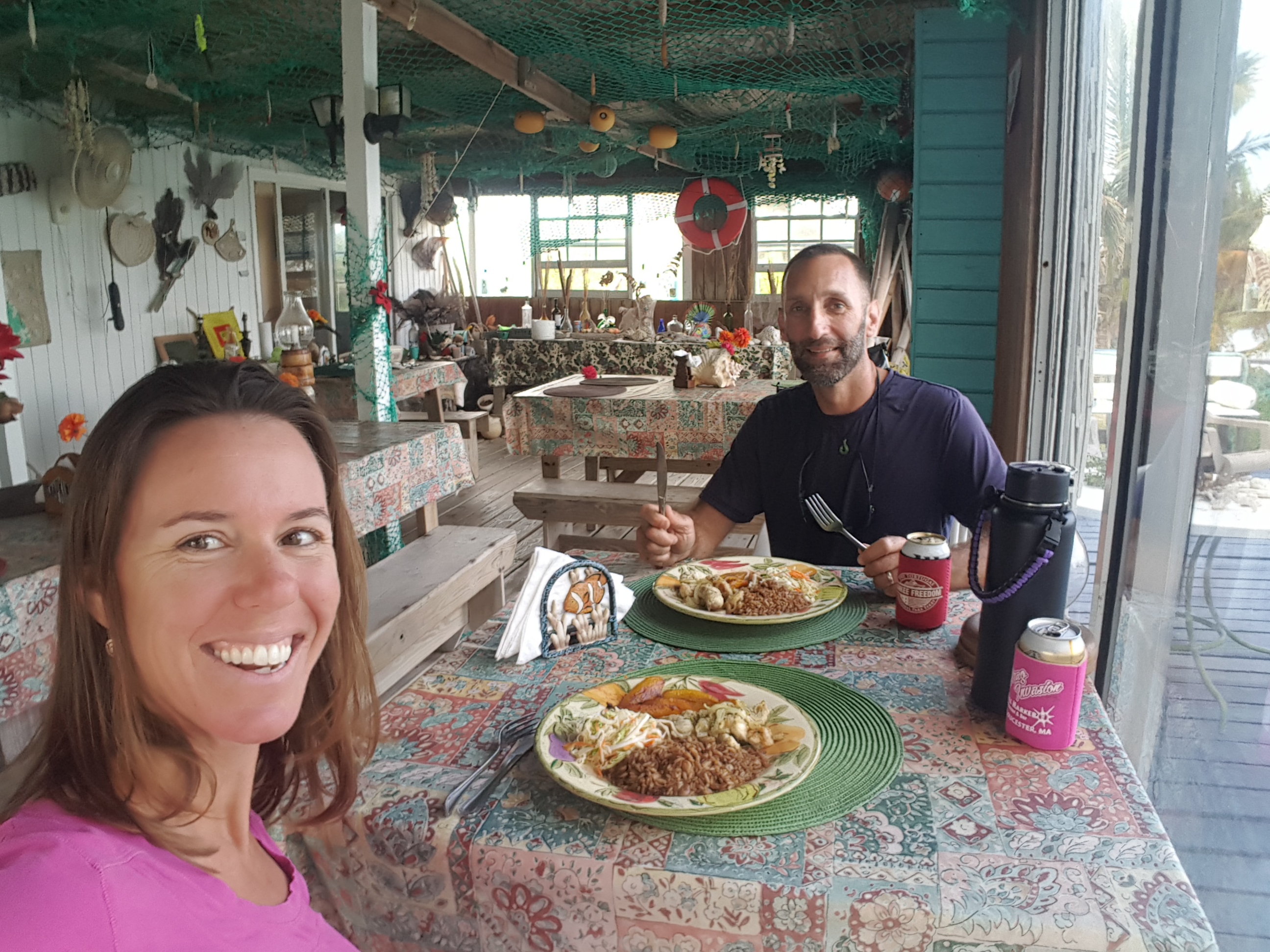
A delicious Bahamian Lunch

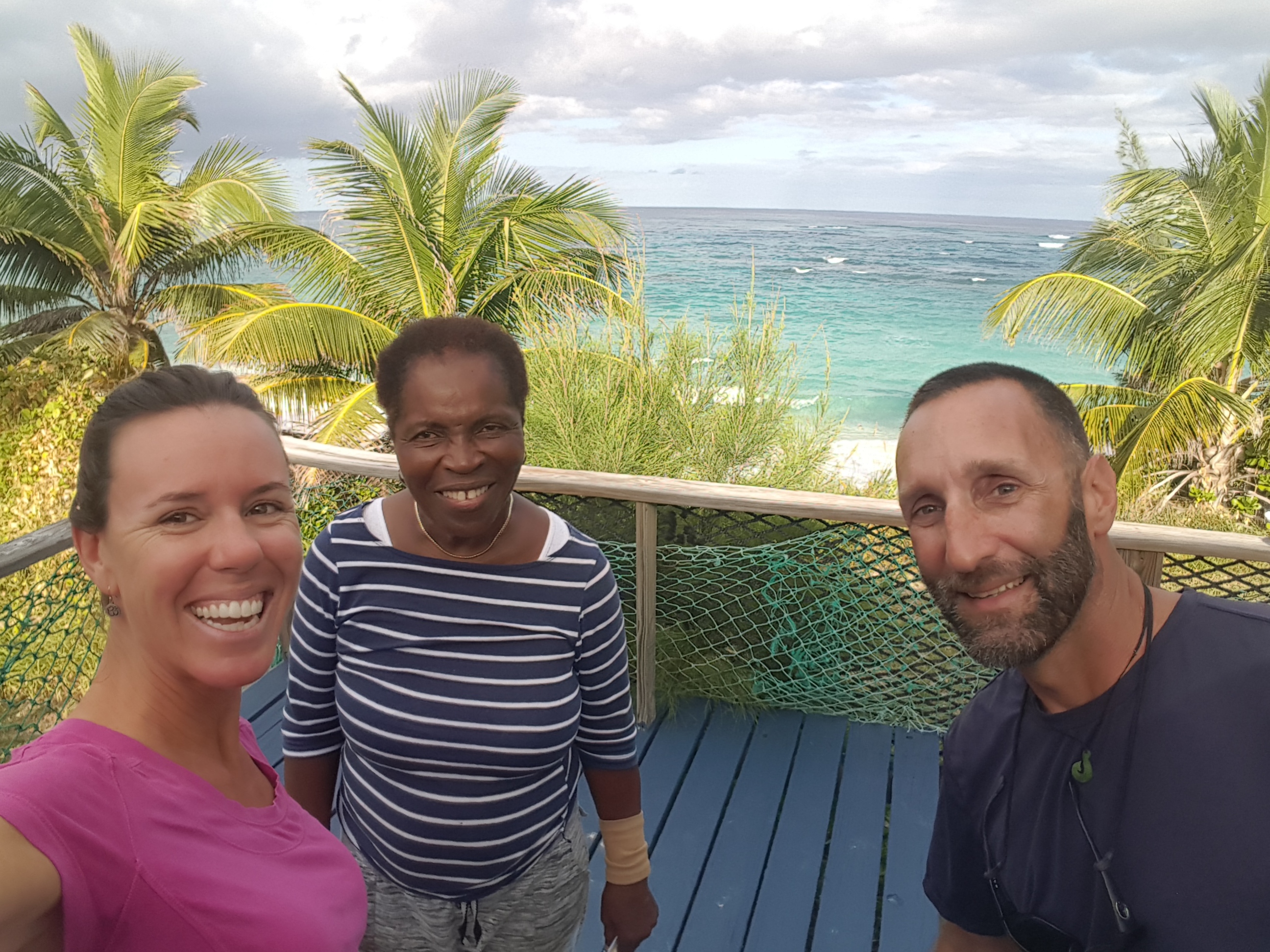
Thank You Miss Rosie for a great day!

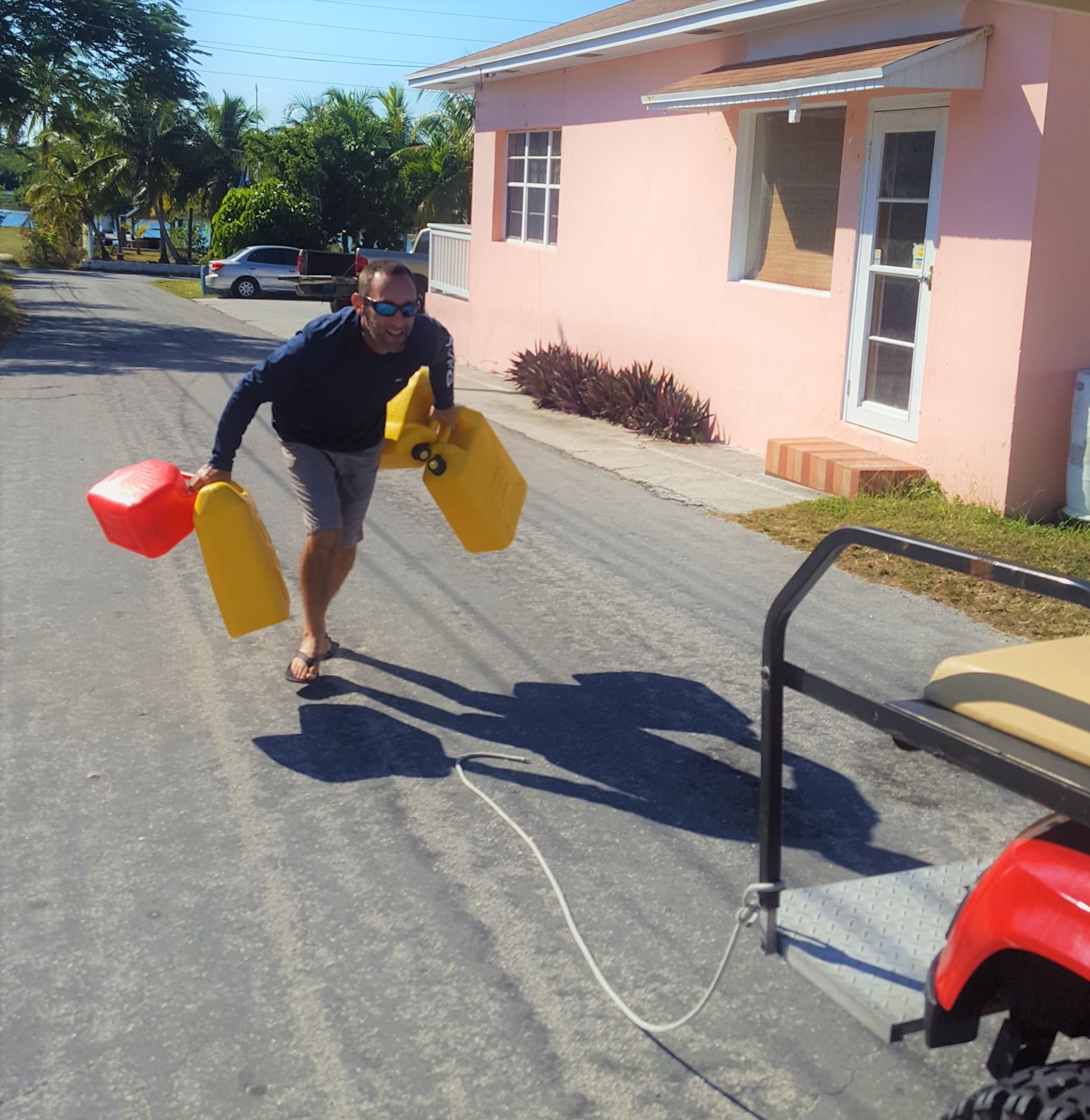
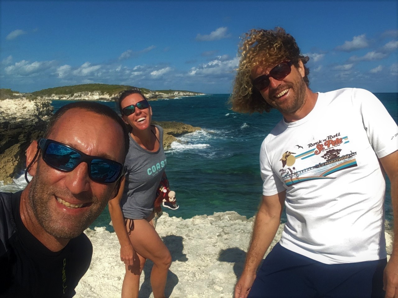
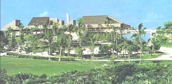
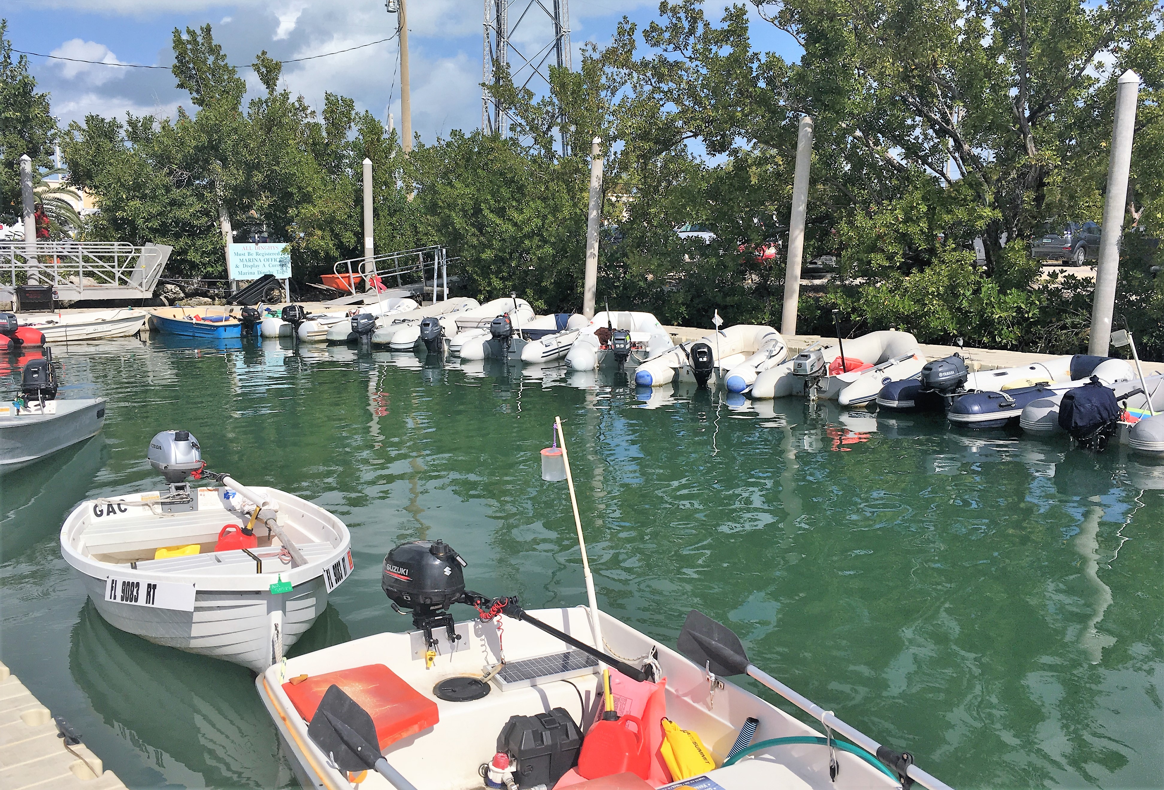
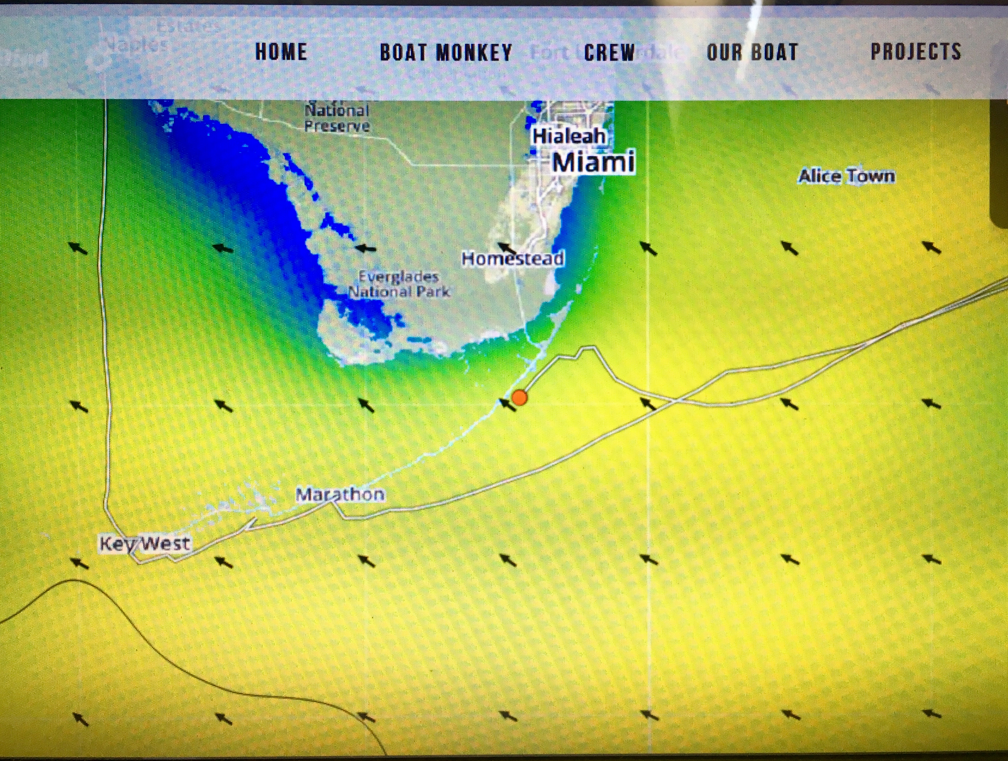
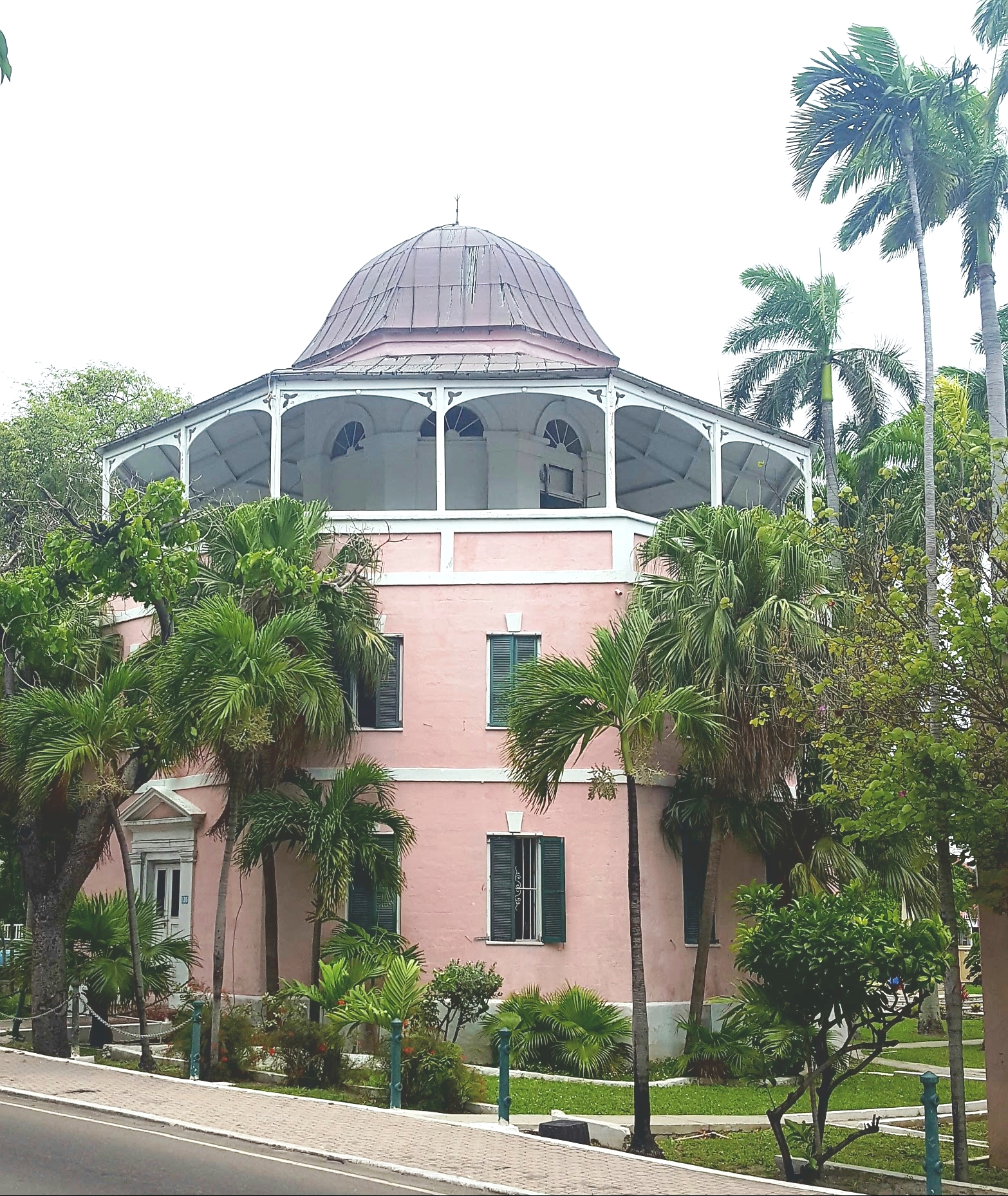
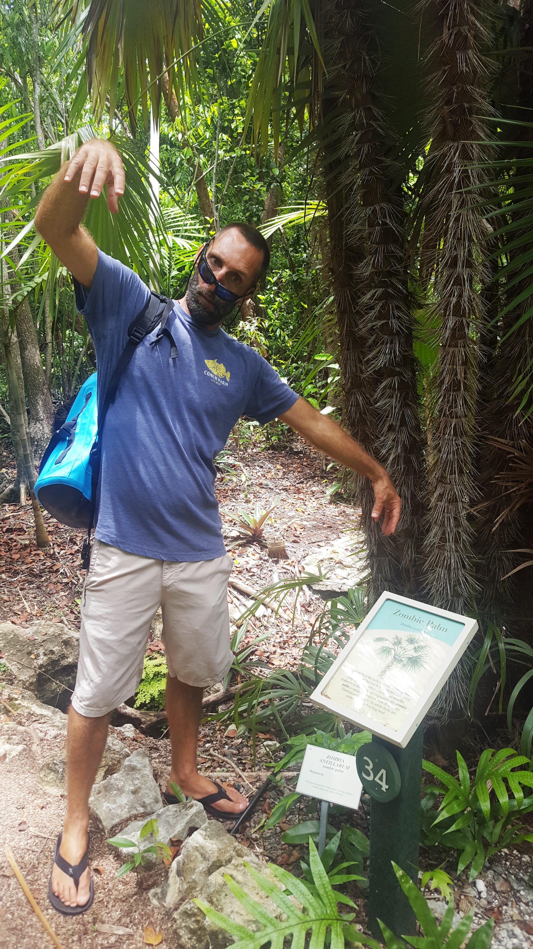
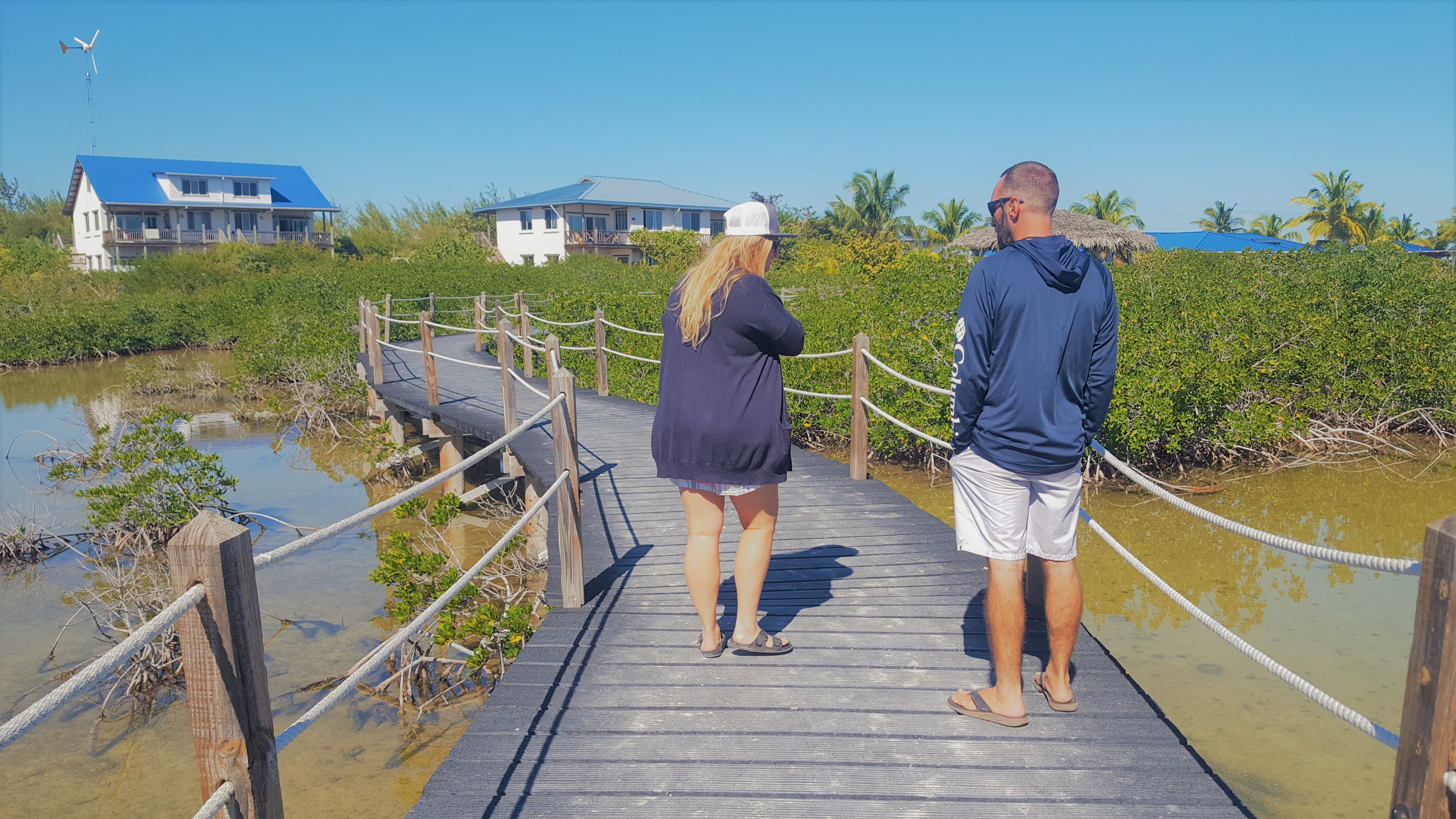
Celia had been researching the island and came across a Research Center and Marine Science Education Center that seemed like quite a diverse and thriving program located on the southwestern tip of the island called Cape Eluethera. We read about all the interesting programs they conducted there and got really excited to see if we could find a way to get down to Cape Eleuthera and take a tour. As Celia and I have both worked many years in the marine science world, we put it out on Facebook to see if we had any connections there. Sure enough, the facility where Celia and I first met (NHMI-Seacamp in Big Pine Key) had an alumni who was a program manager there. We got in touch with Miss Liz Slingsby and our timing was perfect. She was ‘on island’ and the facility was in between program sessions. This meant she would be able to take some time and give us a VIP tour…perfect! We rented a car from a man known as “Friendly Bob” who dropped off a little 2WD mini-SUV that had seen better days. The roads of the Bahamas are in pretty rough shape and the vehicles certainly show it. The front end was a little loose, one of the tires was low on air, and the exhaust blew gas fumes into the cab…but it seemed like it would serve the purpose. And with a handshake cash deal, this seemed more than adequate. Plus, Friendly Bob just said to leave the car in Frigates parking lot with the key in the visor “anytime tomorrow”. Wow, you don’t get that deal at Hertz!

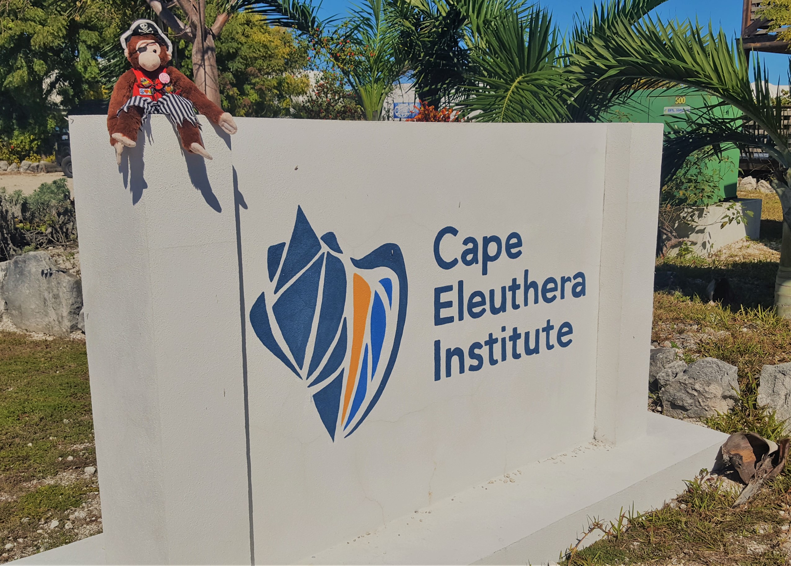
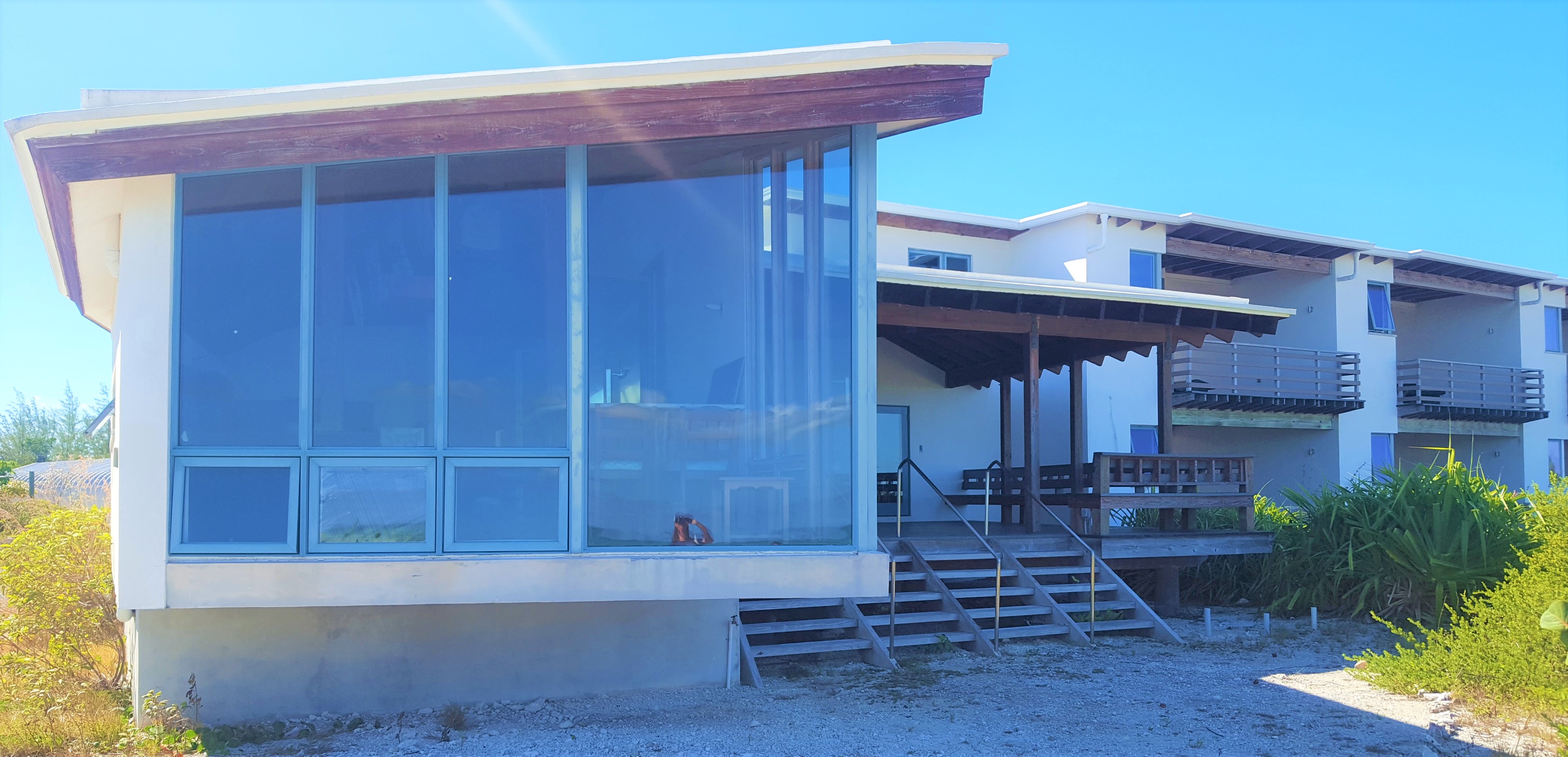
So off we went to the Cape Eleuthera Institute and Island School. What an impressive facility! Located in an isolated section of the island, they have access to many pristine and varied natural areas in which they conduct their scientific and school-based programs. There are three separate programs operating at the facility. The Cape Eleuthera Institute is a fairly typical Research Field Station for resident and visiting scientists, grad students, and the like. The second program is called The Island School. This is an experiential marine science education program for middle and high school students. Most of the students come from outside the Bahamas and stay for a full semester on site as a replacement to their traditional curriculum. They also have extensive programs for local students. The third part of the facility is the Sustainability Initiative which consists of a group of engineer-types who design, implement, and experiment with different sustainability projects and programs on the large site with its many buildings and unique infrastructure. The three programs share the site, both residentially and professionally, in what feels like a communal living atmosphere. There are approximately 120 staff members, volunteers, and long-term scientists on site which made the place feel vibrant and full even though there were not many programs taking place or visitors on site.
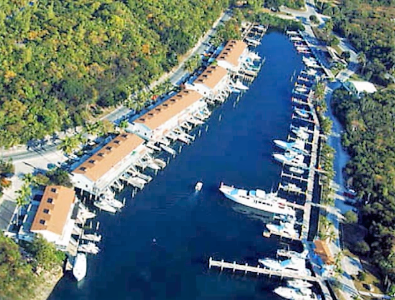
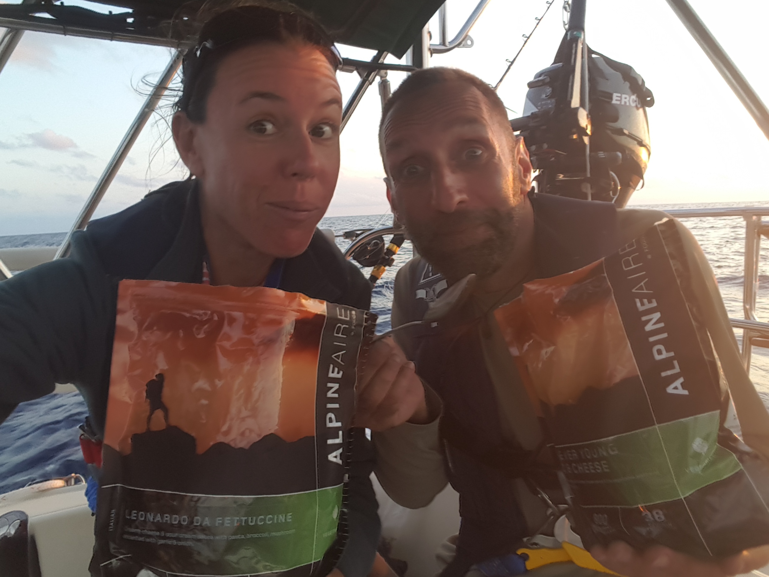
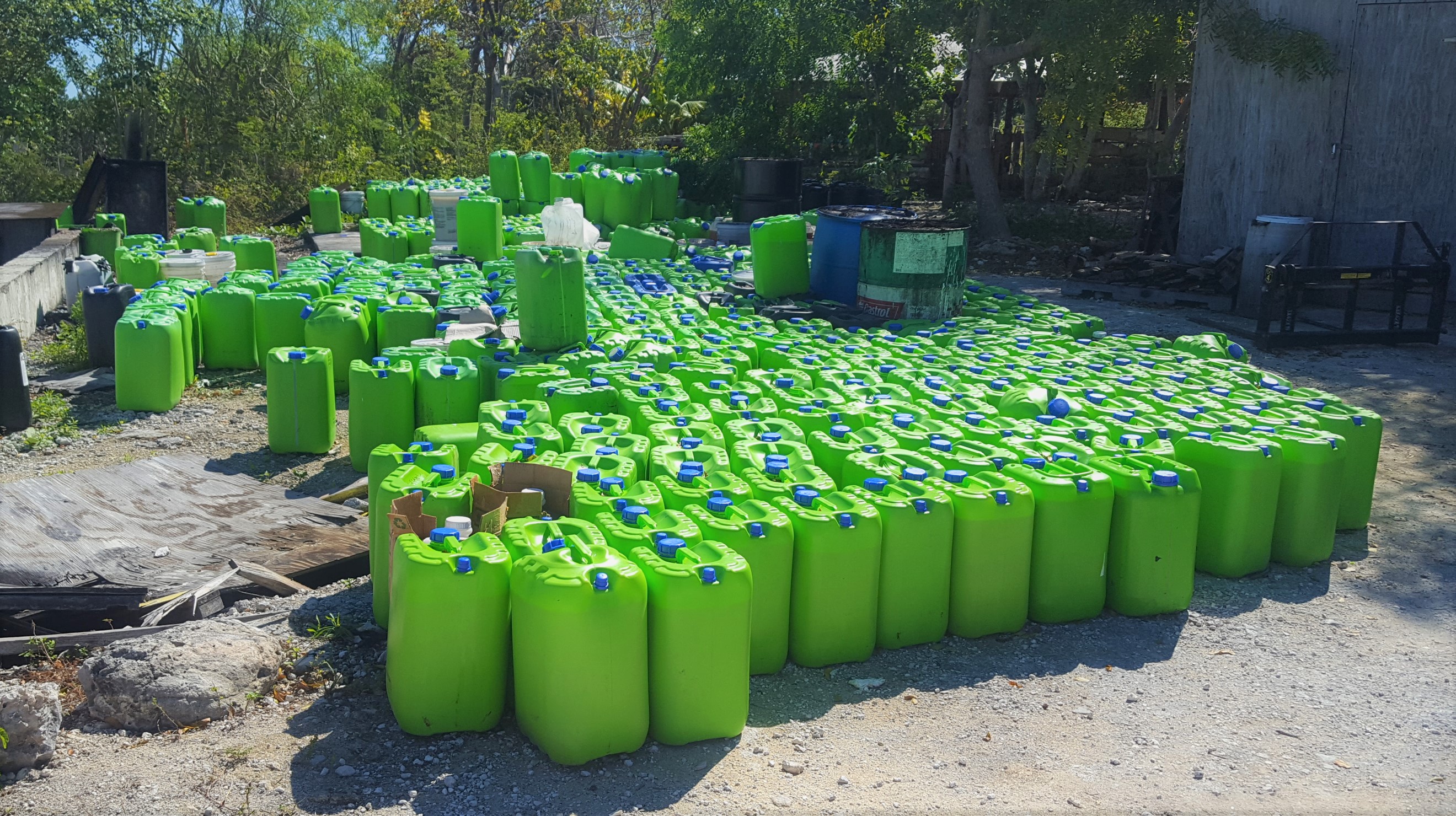
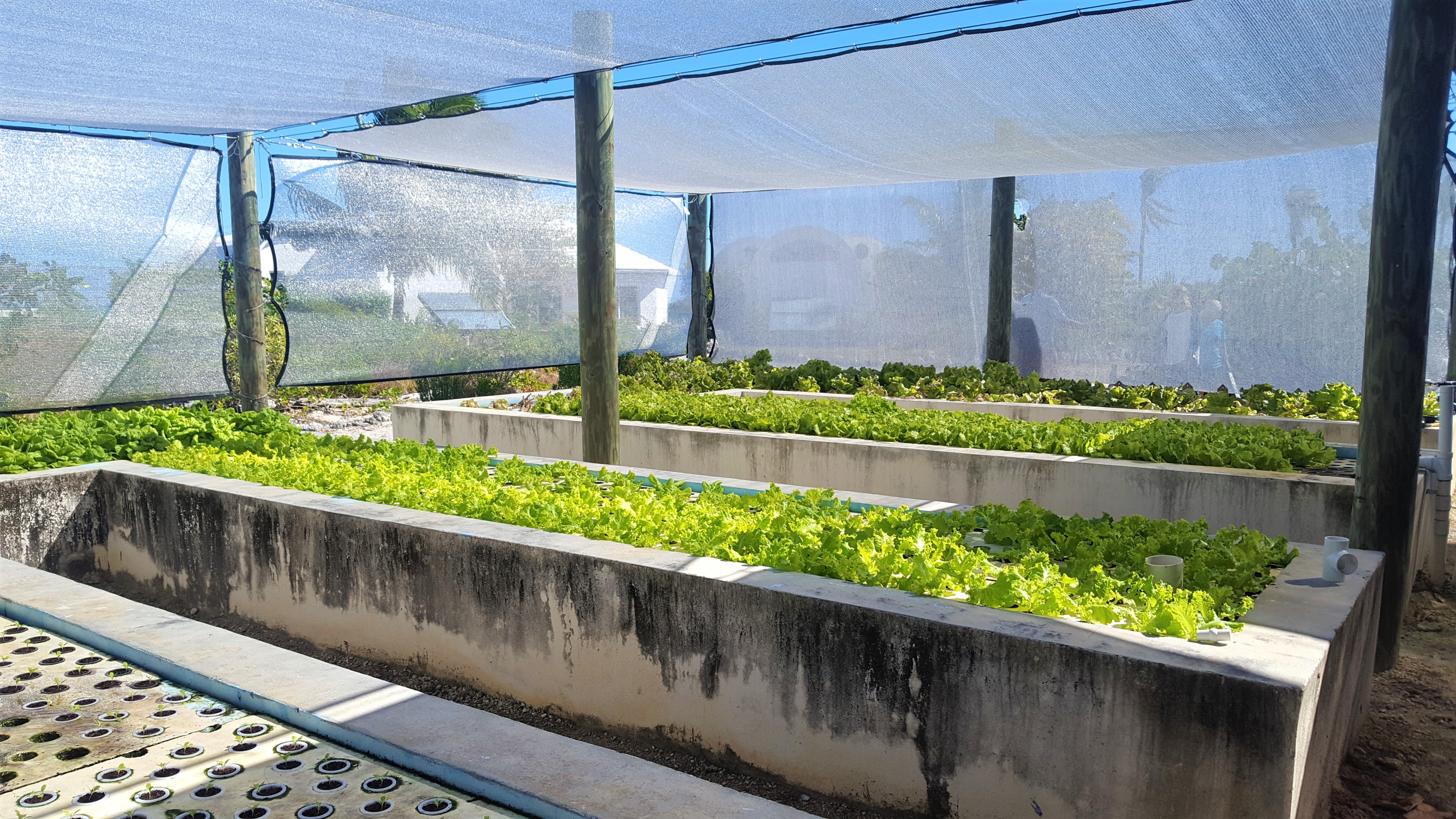
Program Manager Liz Slingsby was amazingly generous with her time and she gave us a wonderful tour of the facilities and overview of their programs. Highlights included their protected marina and fleet of dive and research boats, bio-diesel program (all of their vehicles run on it; they process it on site from used cooking oil donated by a cruise ship company), research lab facilities, dining hall facility, and even a beautiful beach. Most impressive however, was the large aquaculture and hydroponics project. It is a closed-system process in which they grow tilapia (fish) in tanks which are part of the menu on site, and they in turn fertilize the hydroponic system which grows some of the vegetables (lettuce, herbs, etc) that they serve in the dining hall as well. They also raise chickens for eggs on a fairly large scale. They keep a handful of pigs who eat the compost from the dining hall and have an annual slaughter for the kids to experience. Pretty damn cool! Celia even managed to sweet talk the farm manager into letting us have several fresh heads of lettuce! Score! (Of course, had there been students on site, this would not have been possible!) Overall, a pretty amazing place! We were invited to join the staff for lunch in the dining hall. Cruisers will normally never turn down an offer to not have to cook on the boat! They served up the best “Camp Dining Hall” food I think I have ever had. Thanks so much to Liz for being such a gracious host.

Liz gives us the VIP tour treatment…

Bio Diesel Program

Aquaponic Vegetables

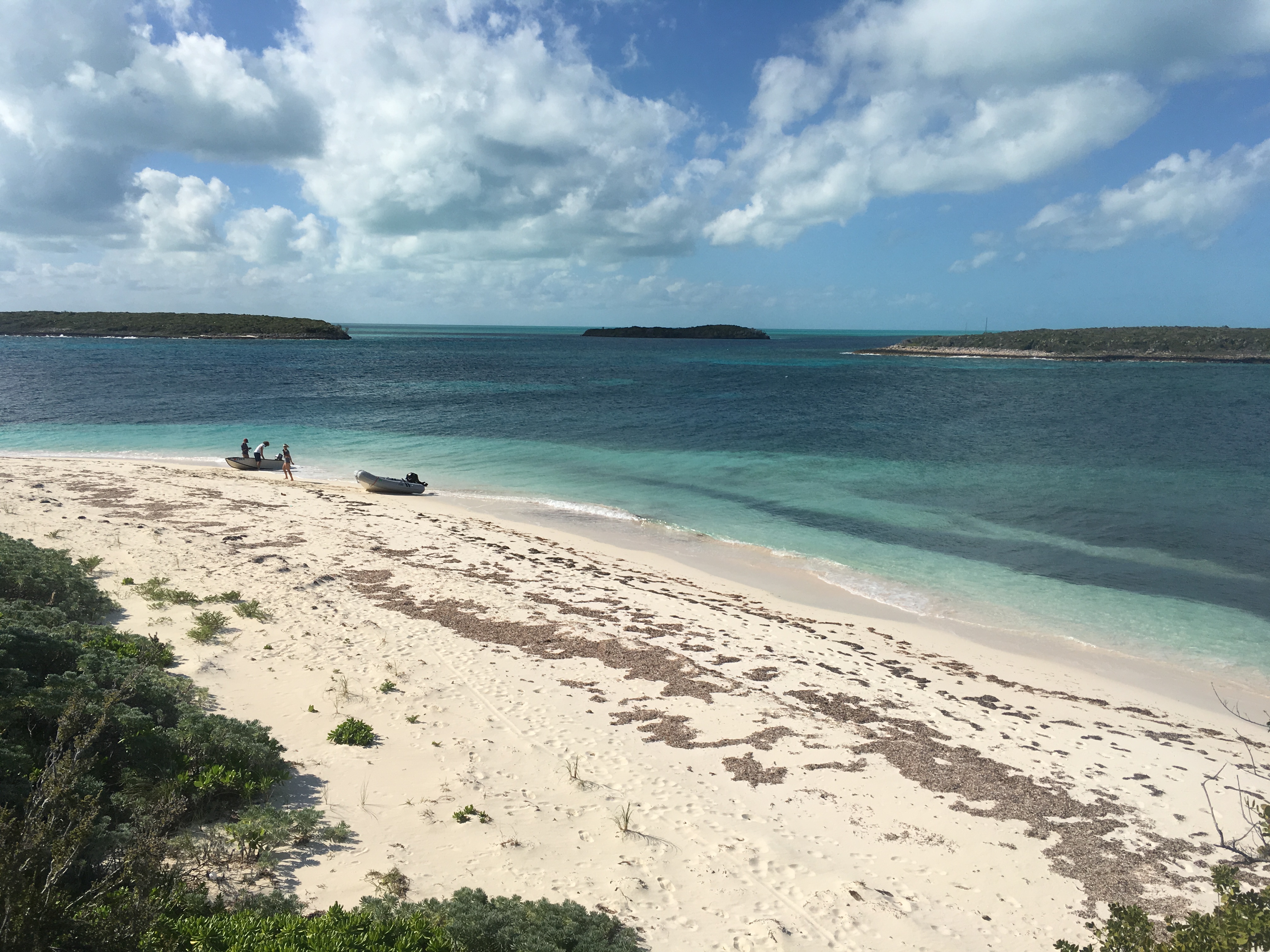
One of our other missions for renting a car was to check out a spot called Lighthouse Point Beach. We’d heard stories of needing a 4×4, or “sturdy with high clearance” to safely navigate the road to this remote location on the very southern tip of Eleuthera. Our rental didn’t quite meet all the requirements and we almost chickened out. However, before leaving the Island School, the staff said it was one of the most beautiful spots on the island and we should make the effort…and so we did.

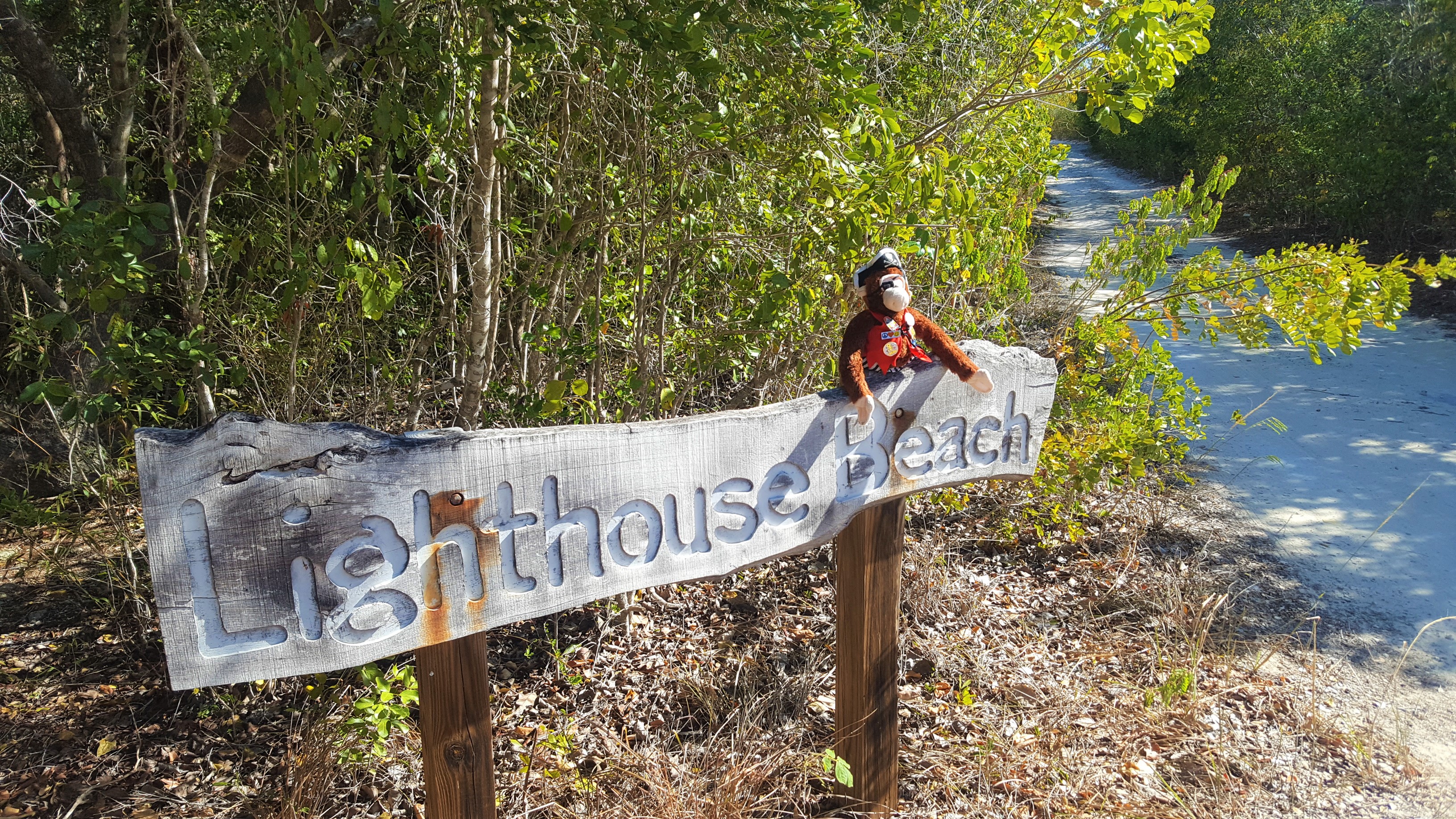
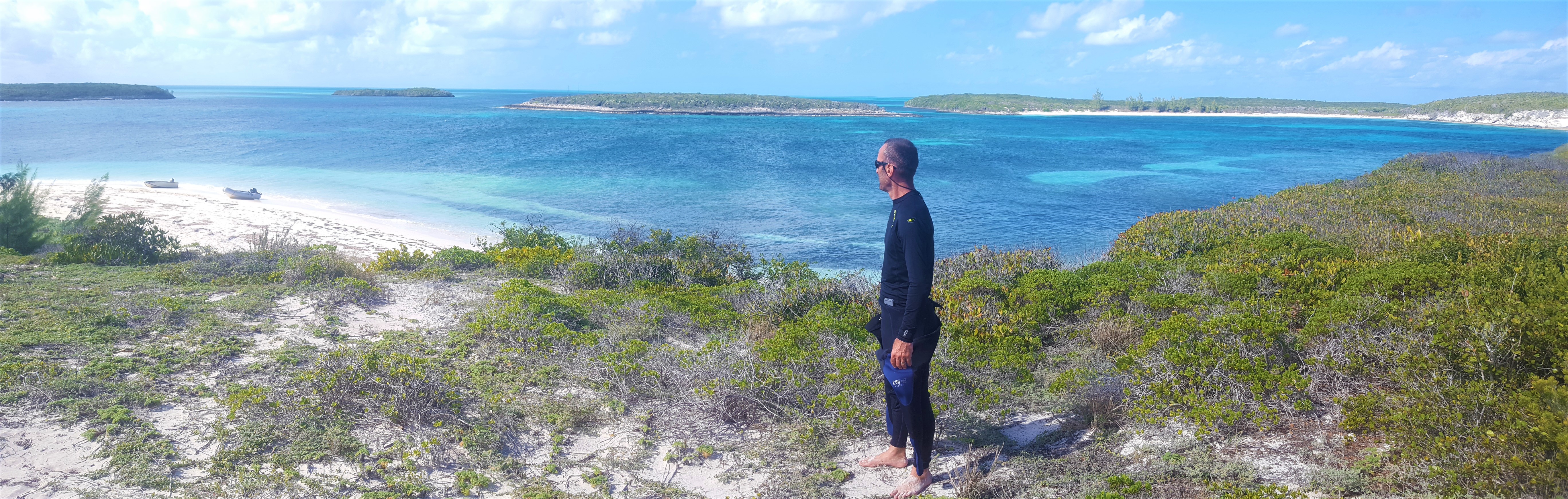
It was, shall we say…an adventure. The dirt road started out benign enough, but before long I was in full off-road mode; navigating steep inclines and slowly straddling big washouts and potholes that would swallow an elephant. Carefully driving over large rocks and scraping branches down the sides of the car, we emerged after about 45 minutes onto a soft sand road with grass growing down the middle of the two tire tracks. Where the heck were we?! But as we crested a small hill, we were rewarded for our efforts by a magnificent view of the area. We could see a 270 degree view of both the calm Exuma Bank on one side and the mighty Atlantic on the other. On the Bank side, there were several idyllic crescent beaches and on the Atlantic side, a long beach stretched beyond our view. Between was Lighthouse Point, with you guessed it, a rustic light house on the point of an impressive, high craggy bluff. We came down the hill into a little parking area and were surprised to see about a dozen cars there! Most of them were of the 4×4 or “sturdy high clearance” variety but it was still shocking to think others had attempted such as challenging road. Despite the small crowd…it was a huge area with hiking trails and plenty of beach to spread out from the few other people we actually saw.
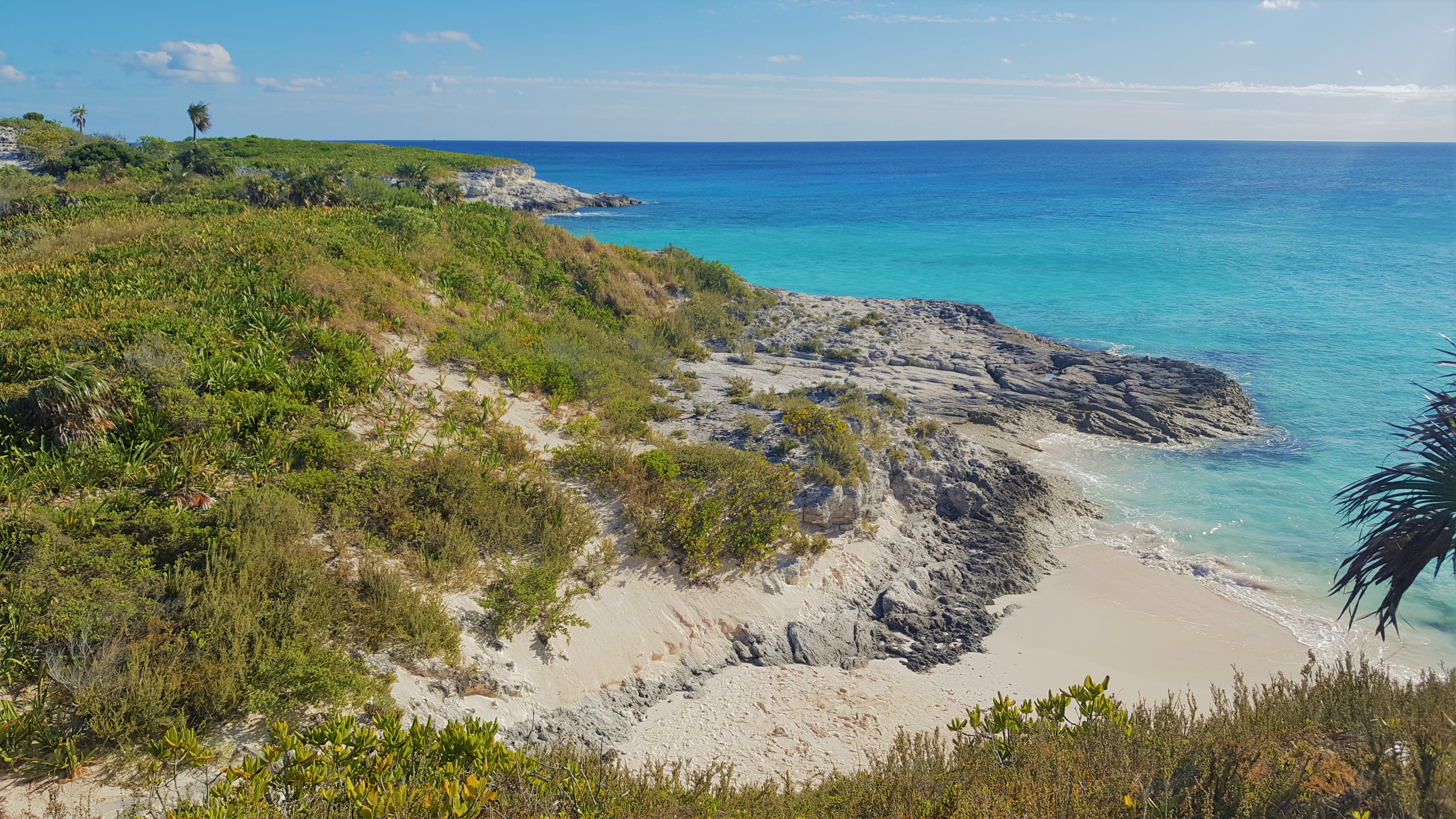
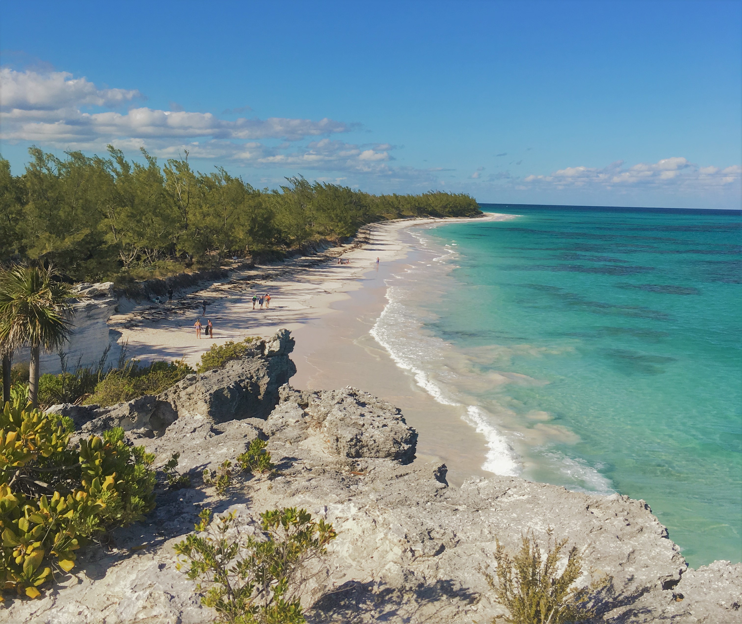
Lighthouse Point

We hiked up to the lighthouse and contemplated life on the point for a bit before heading down to the beach. We wished we could have made a whole day of this adventure; it was one of the most stunning places we have visited in the Bahamas over the last two seasons. As late afternoon wore on, we figured with our crappy car (that already had a half flat tire), it was probably a good idea not to be the last people driving out of this remote place.

On the way out, we came to an intersection we had passed on the way in. We decided to look at Google Maps to see where that road lead to since we noticed we had a couple bars of service out here on a hill. Turns out, that was the normal route to get here. Instead of the 45 minutes of harrowing off-road navigation, this alternate route only had about 10 minutes of off-roading before dumping you out on the ‘normal’ crappy paved roads. Ha! We had taken the difficult path. Oh well…it was a “Boat Monkey Adventure” all the way!
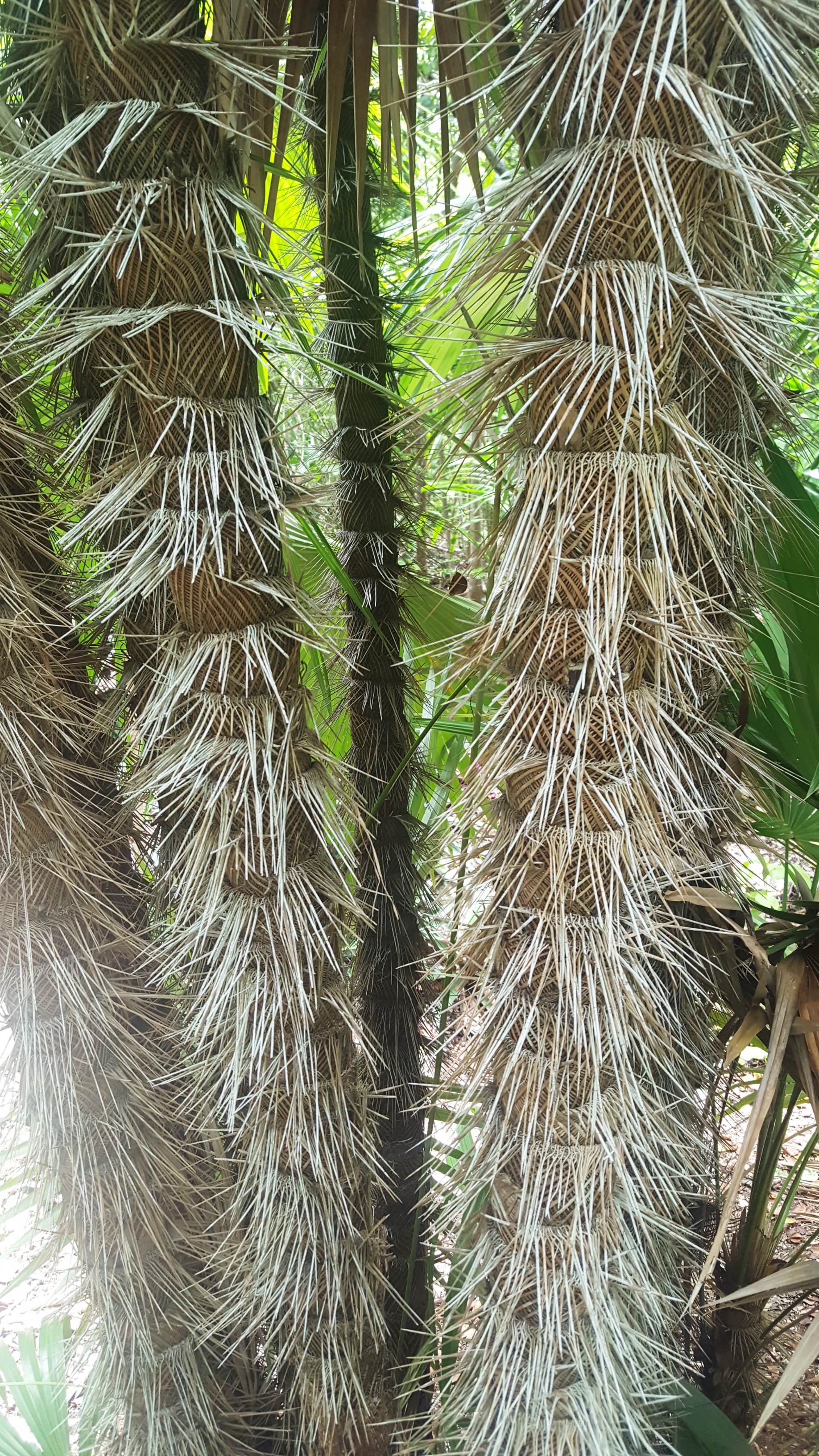
On the ride back to Rock Sound, we were feeling pretty damn grateful for all the great people we had met and wonderful places we had visited. We stopped at a small local straw market where there were 3 generations of women creating and selling their straw work including hand woven bags, baskets, and dolls, . Celia bought a little handbag after getting a little lesson from the grandmother on their craftsmanship.

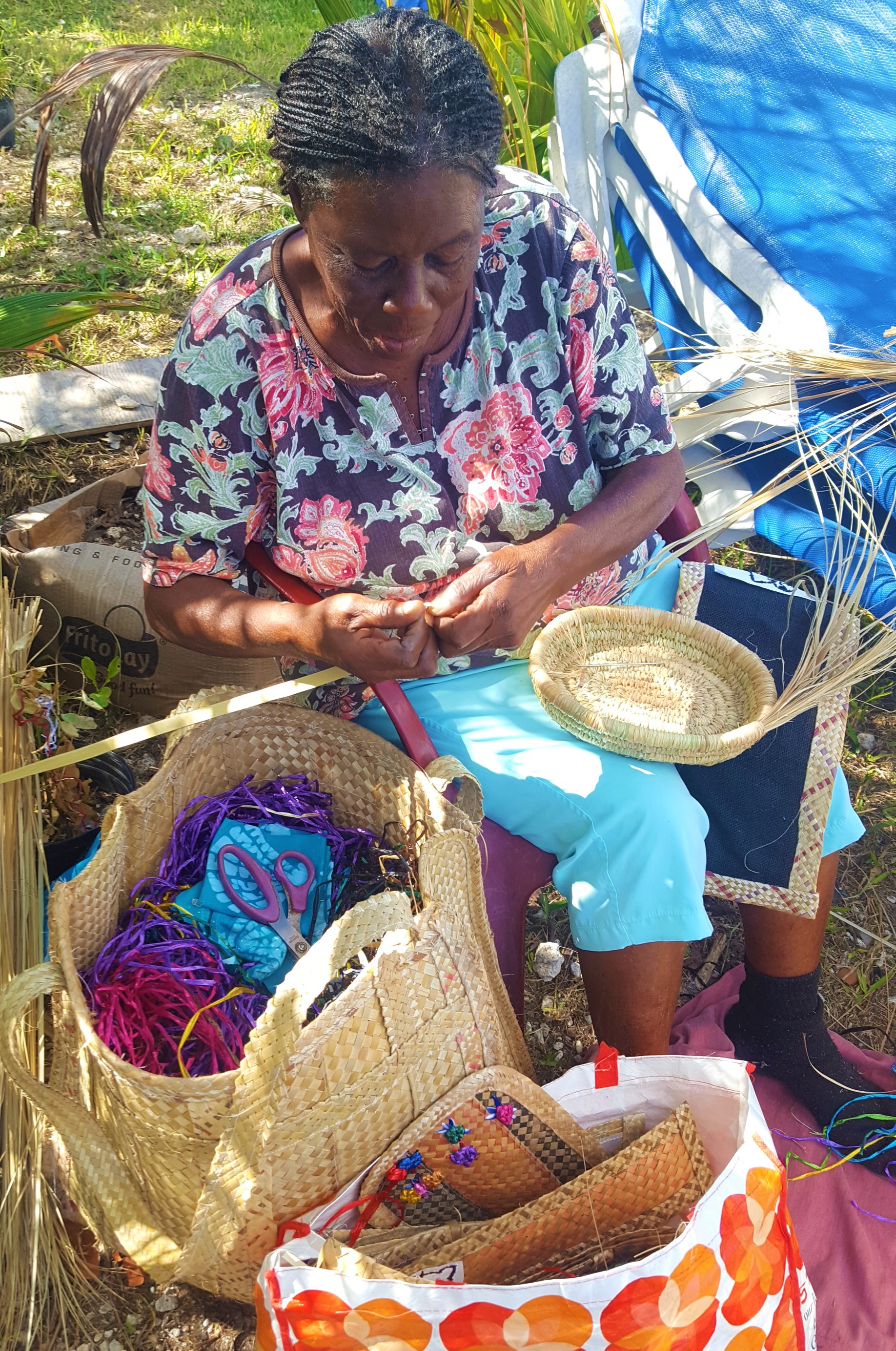
Traditional Bahamian Straw Work

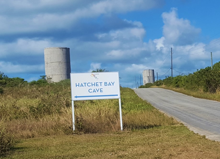
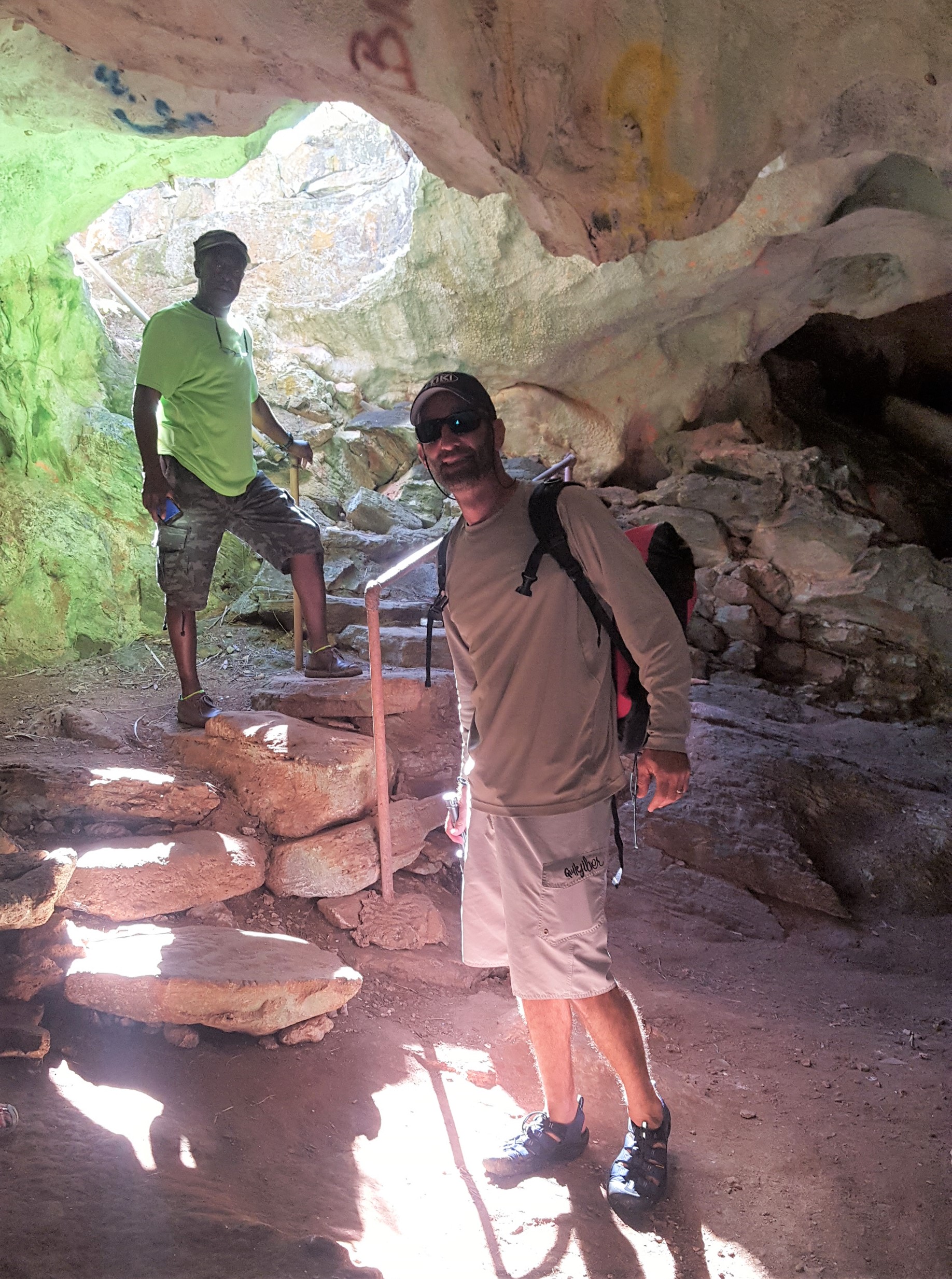
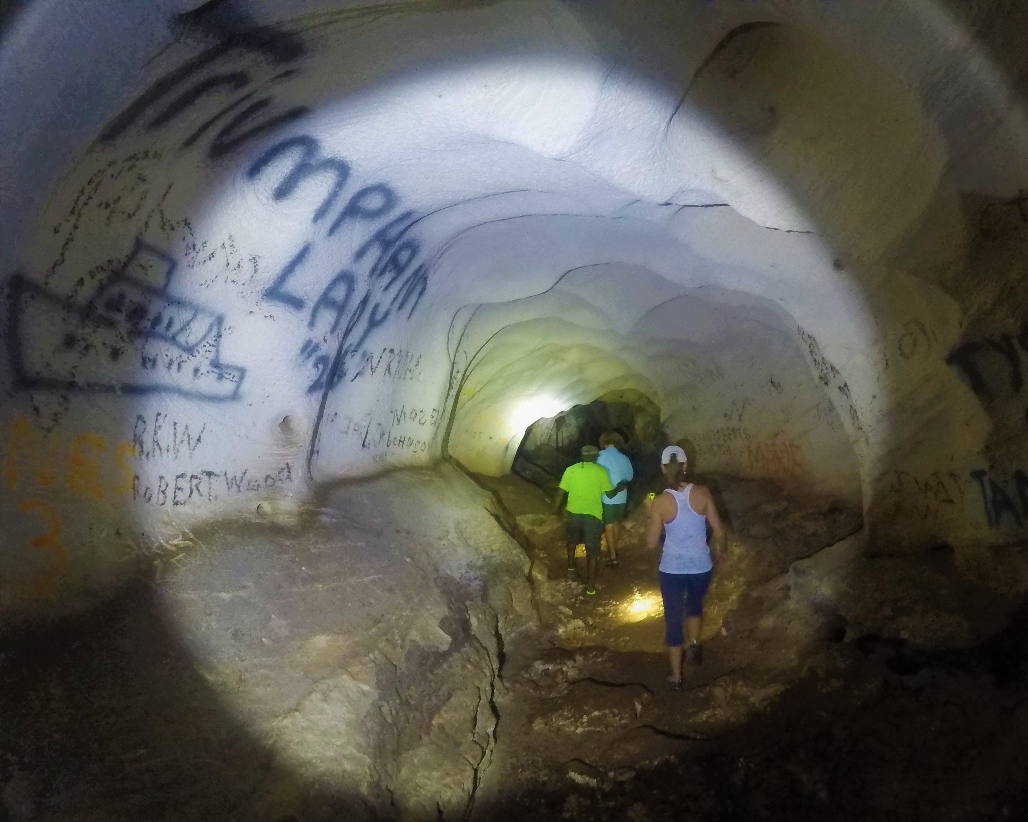
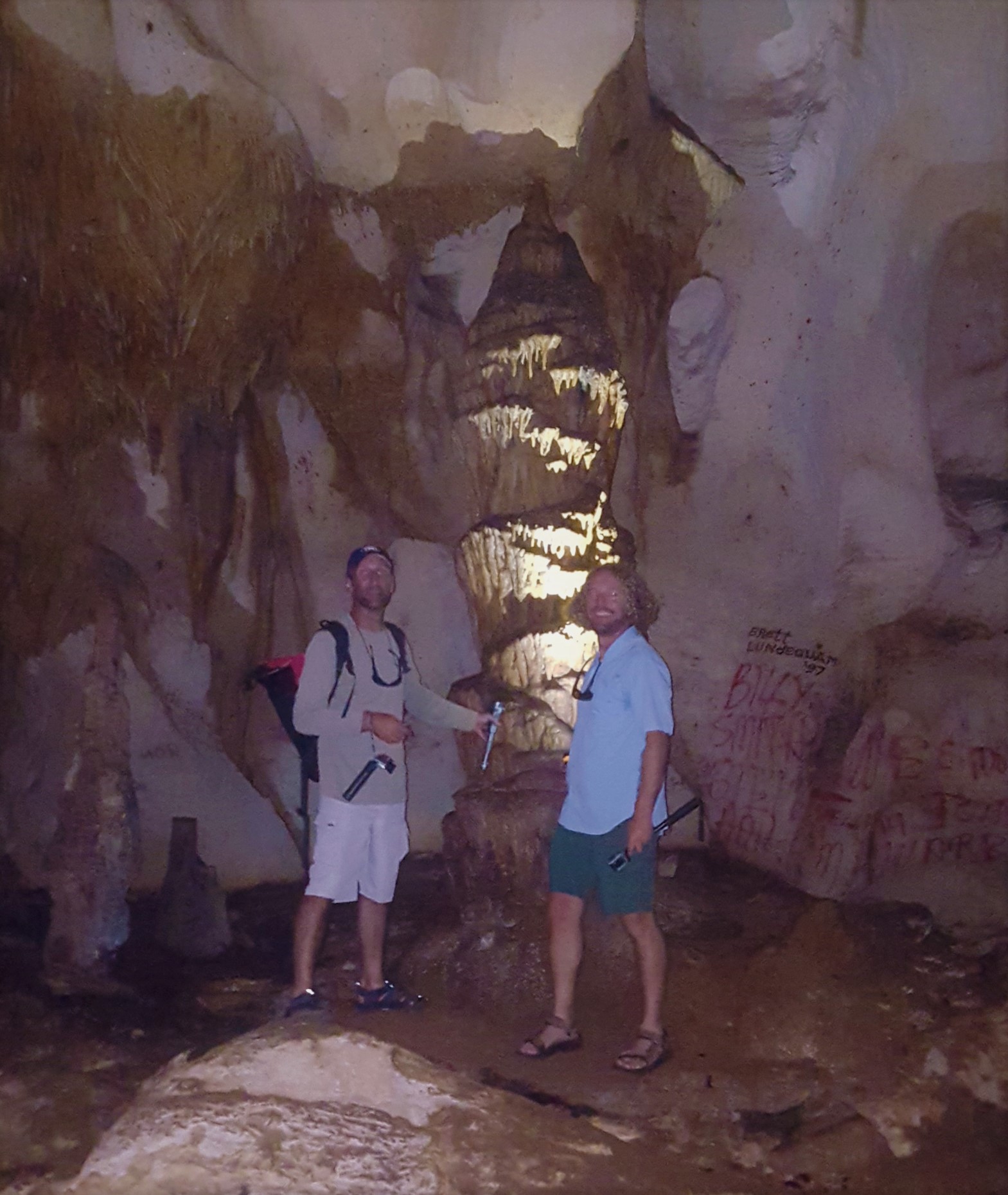
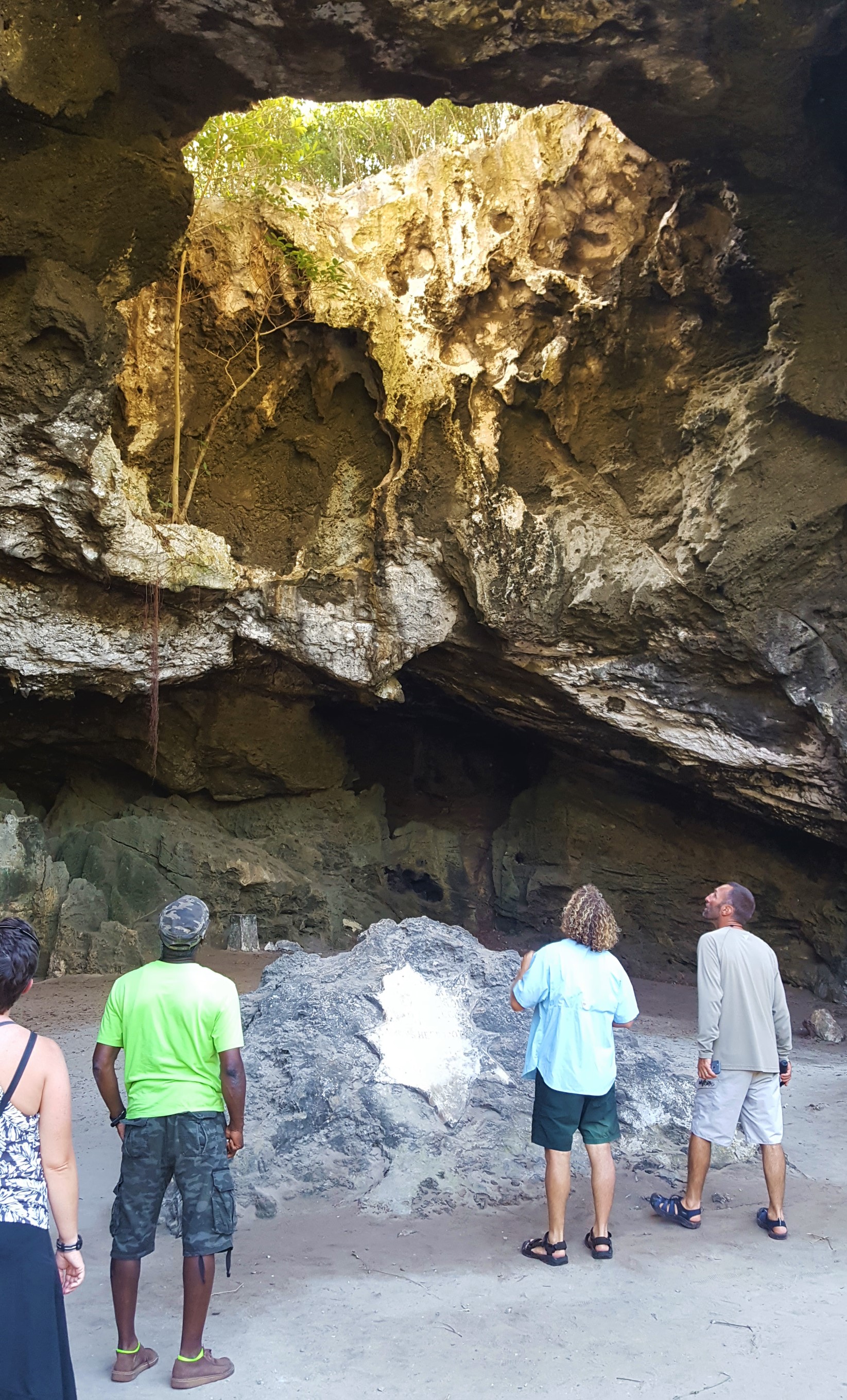
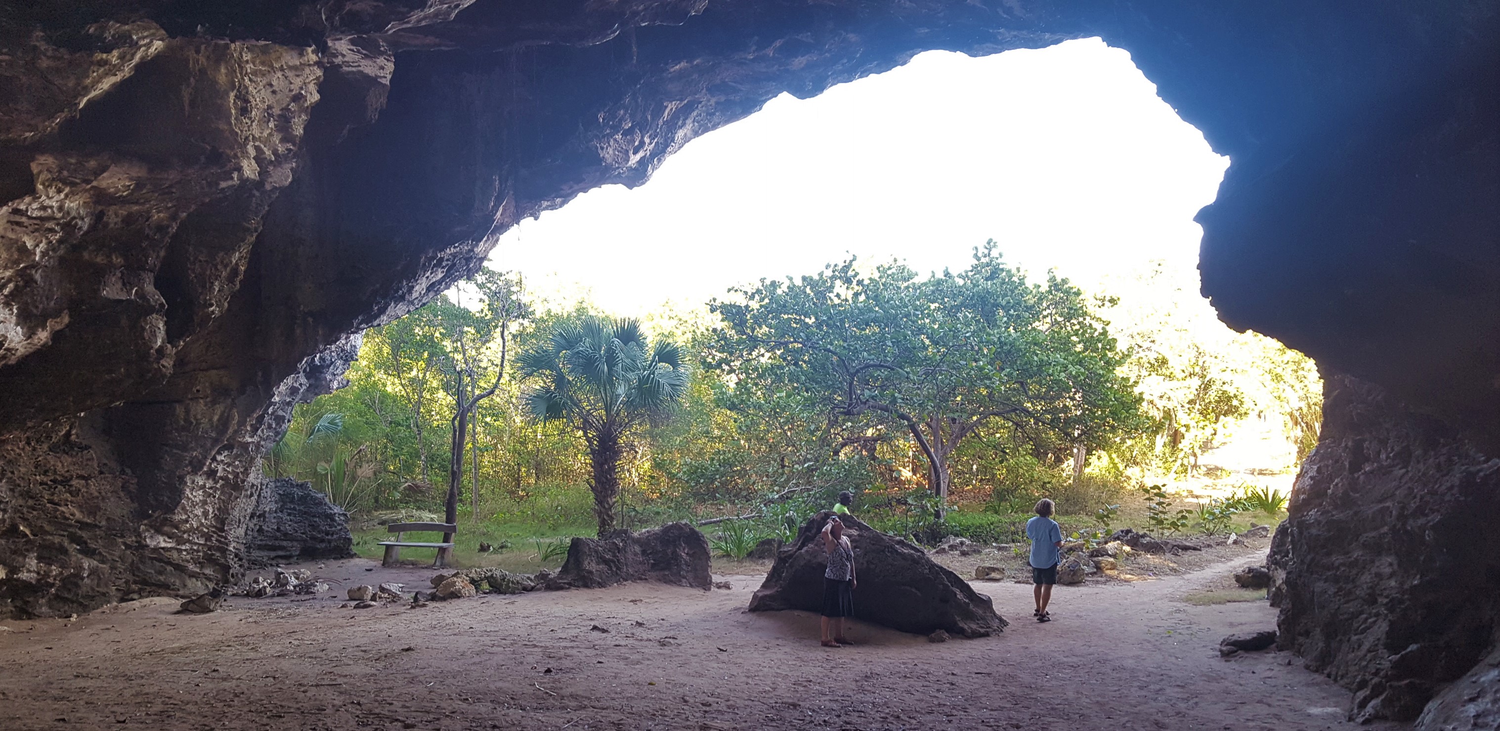
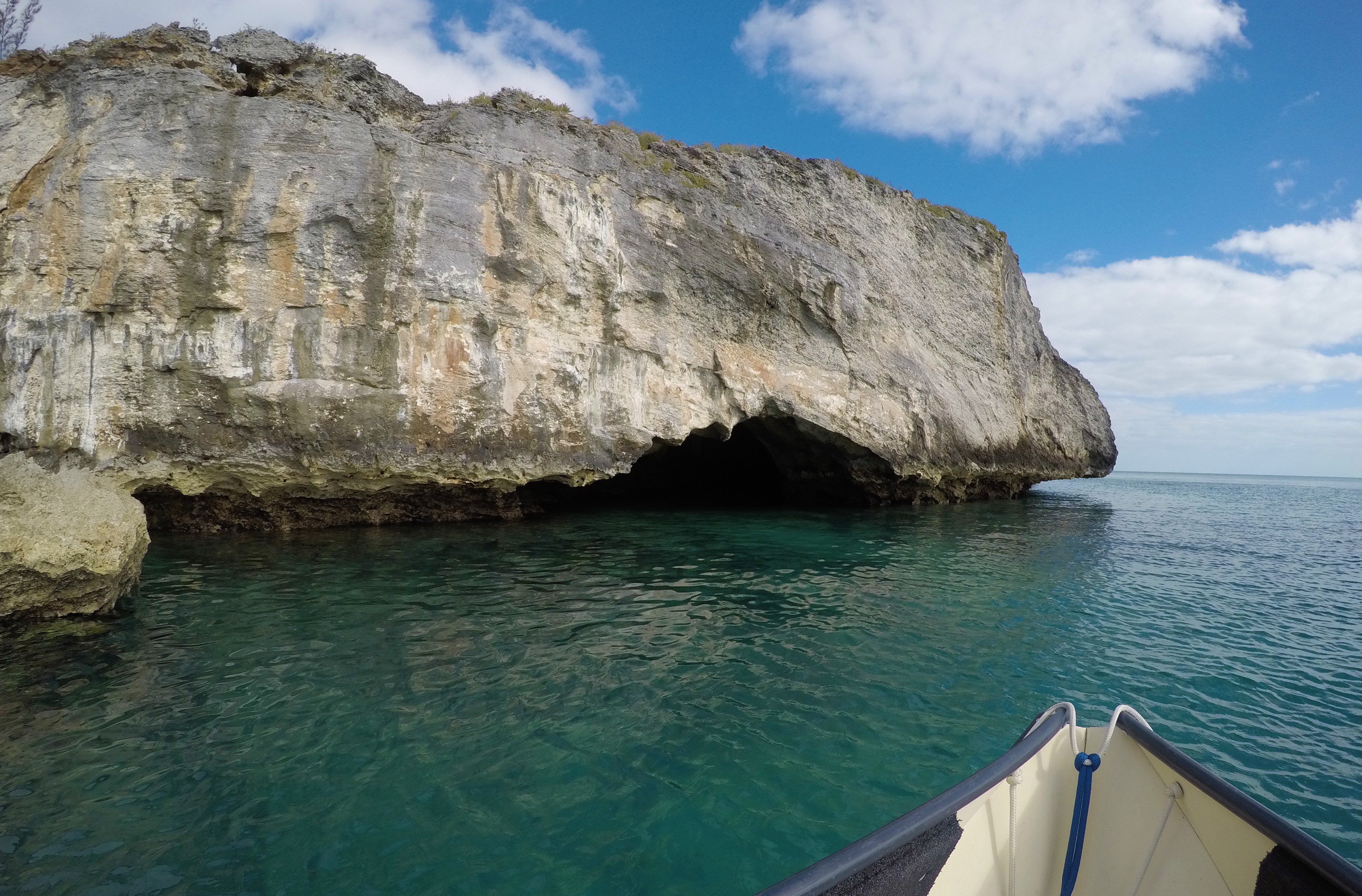
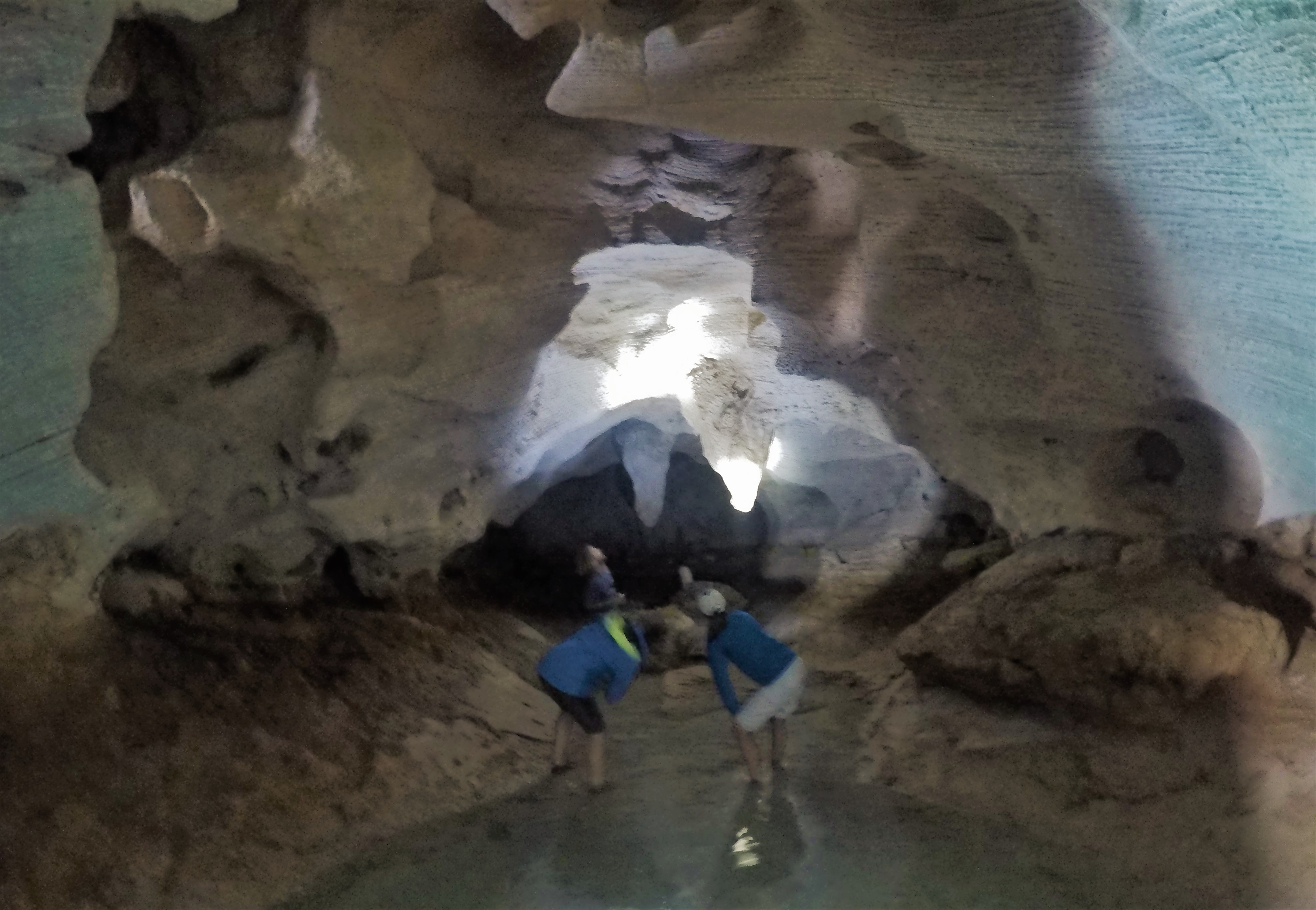
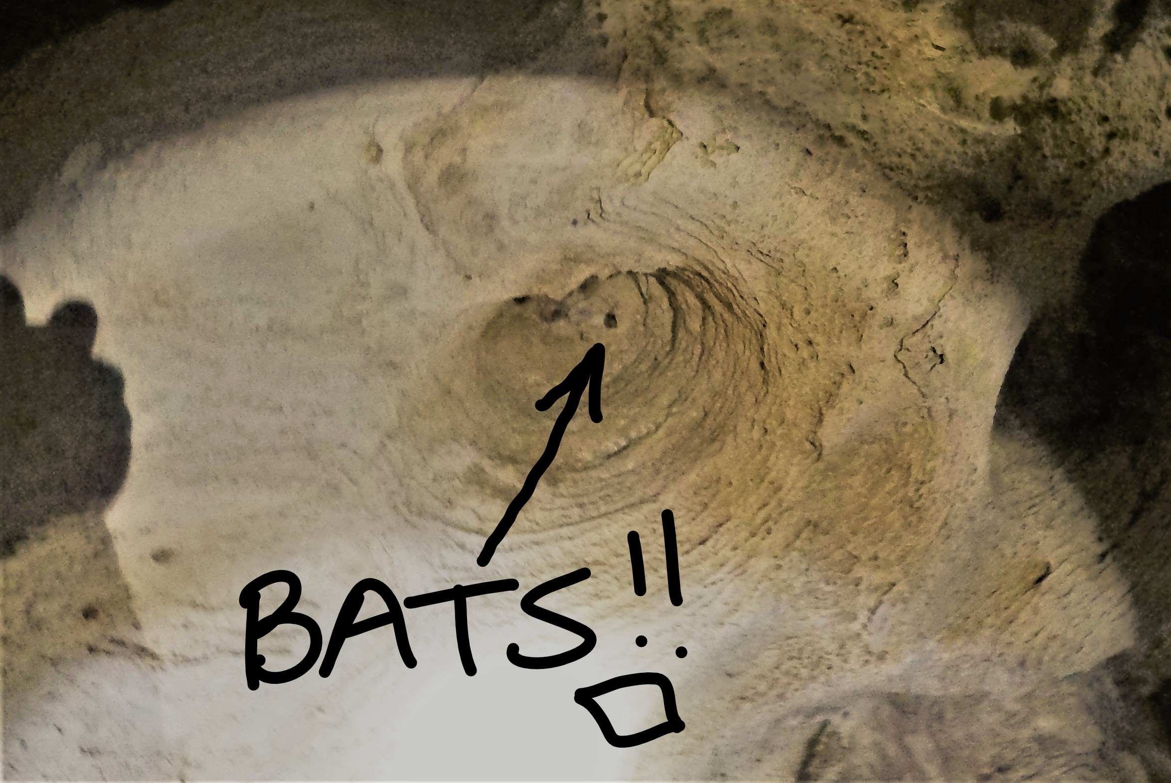
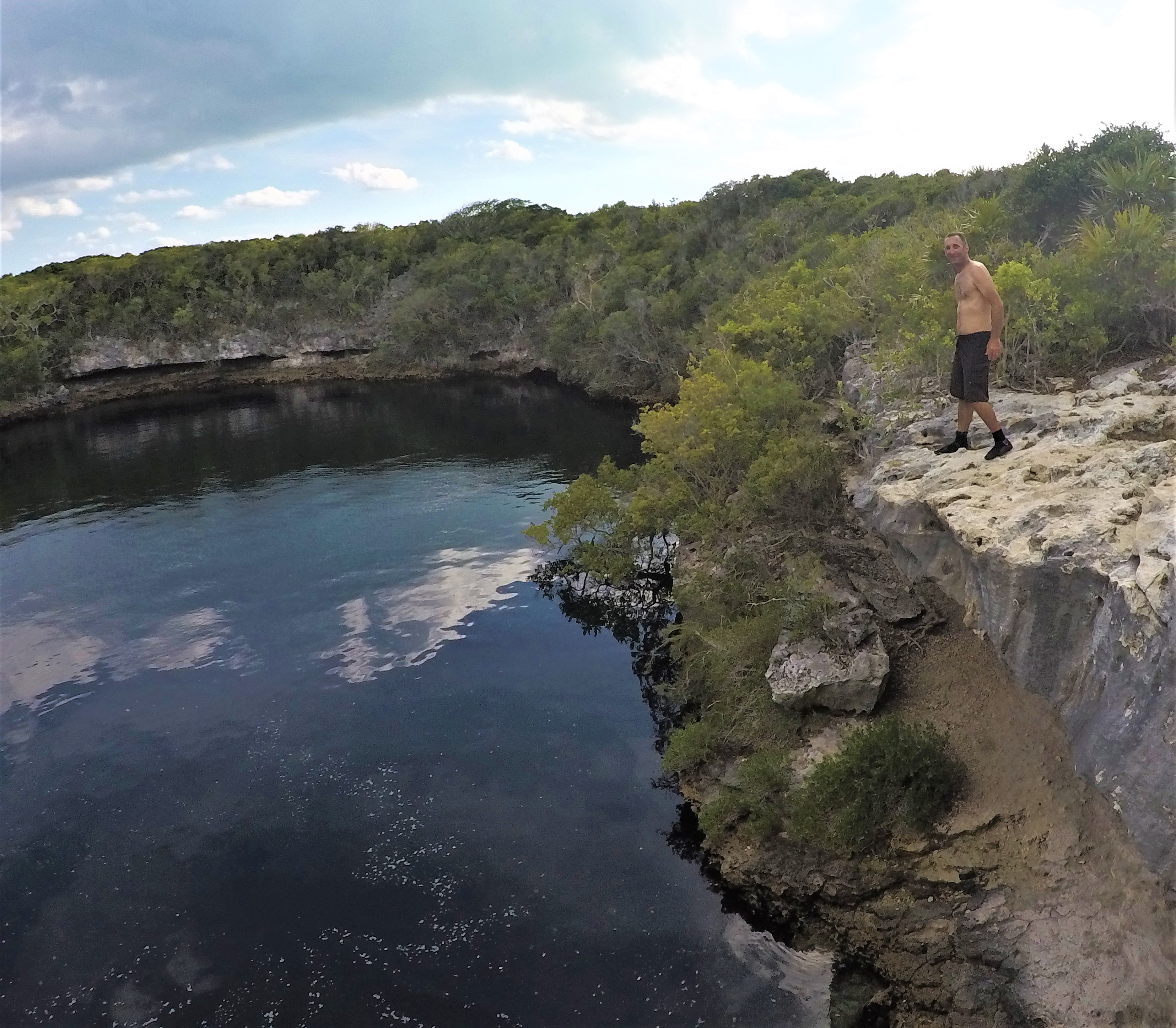
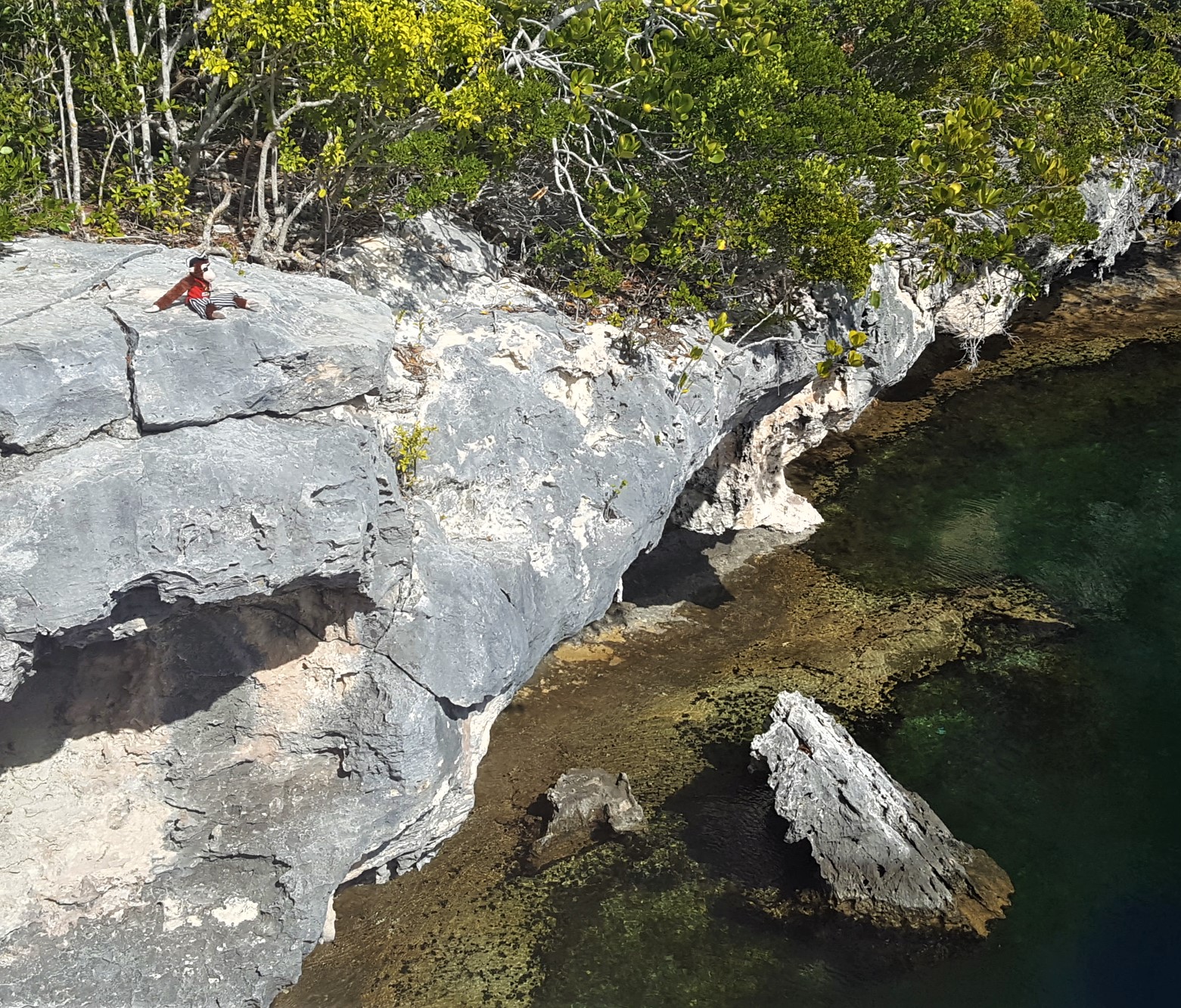
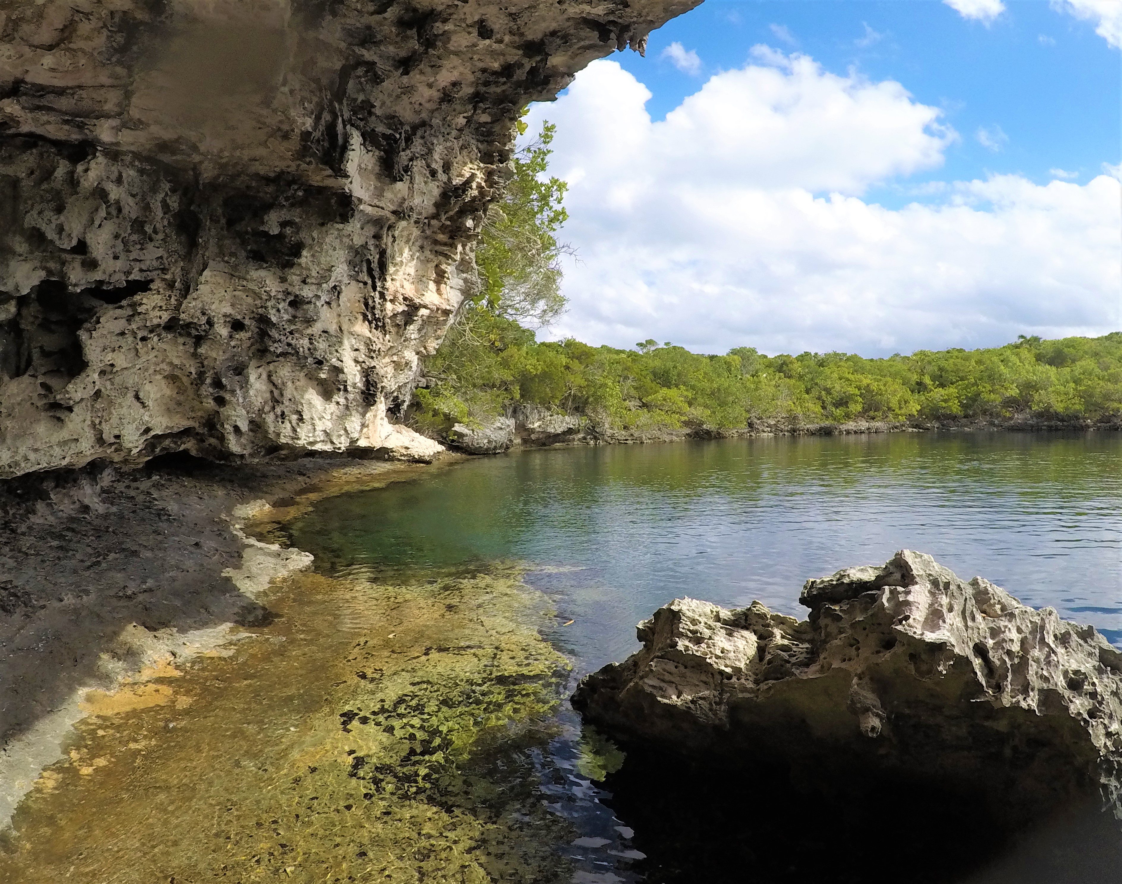
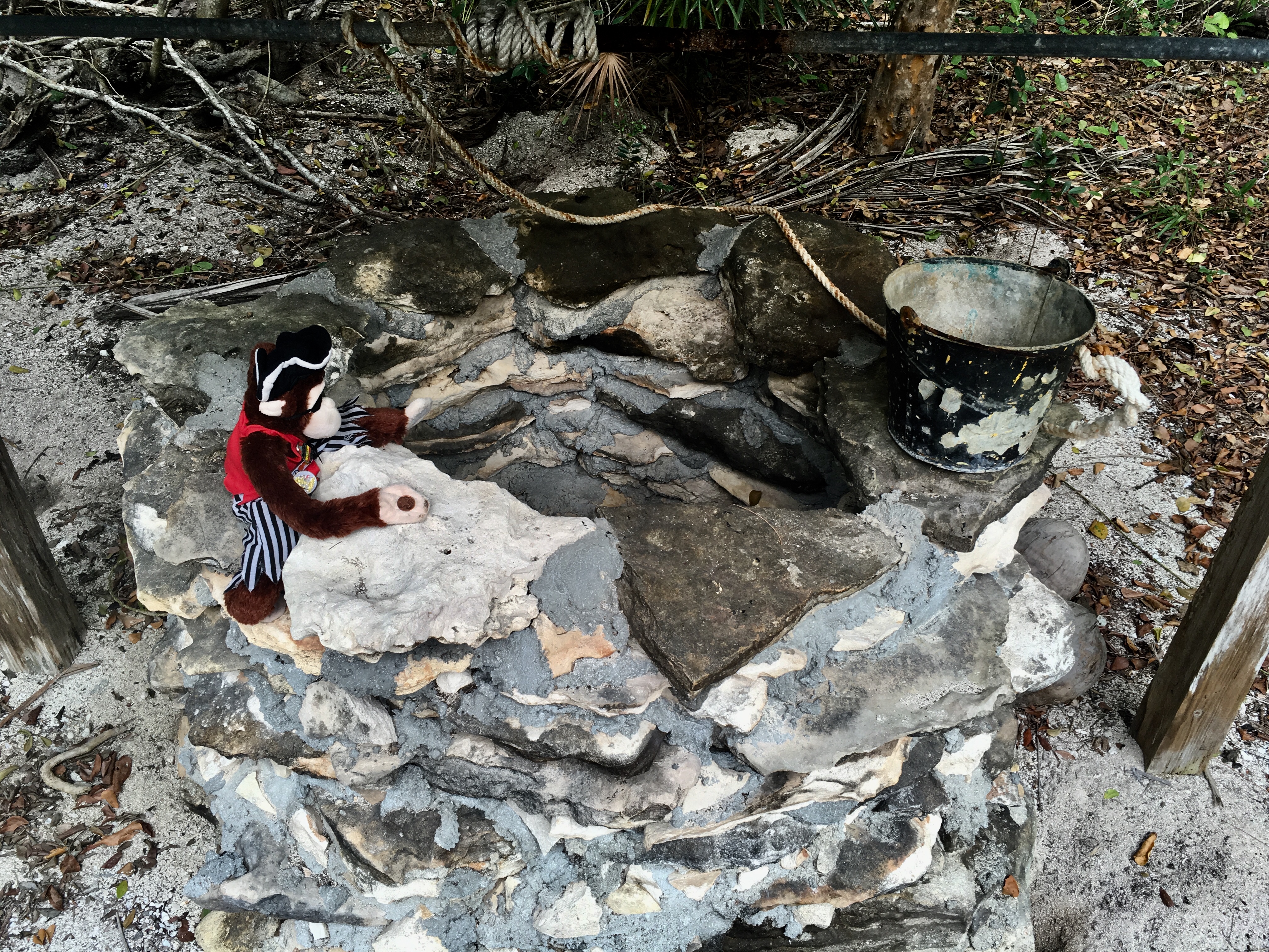
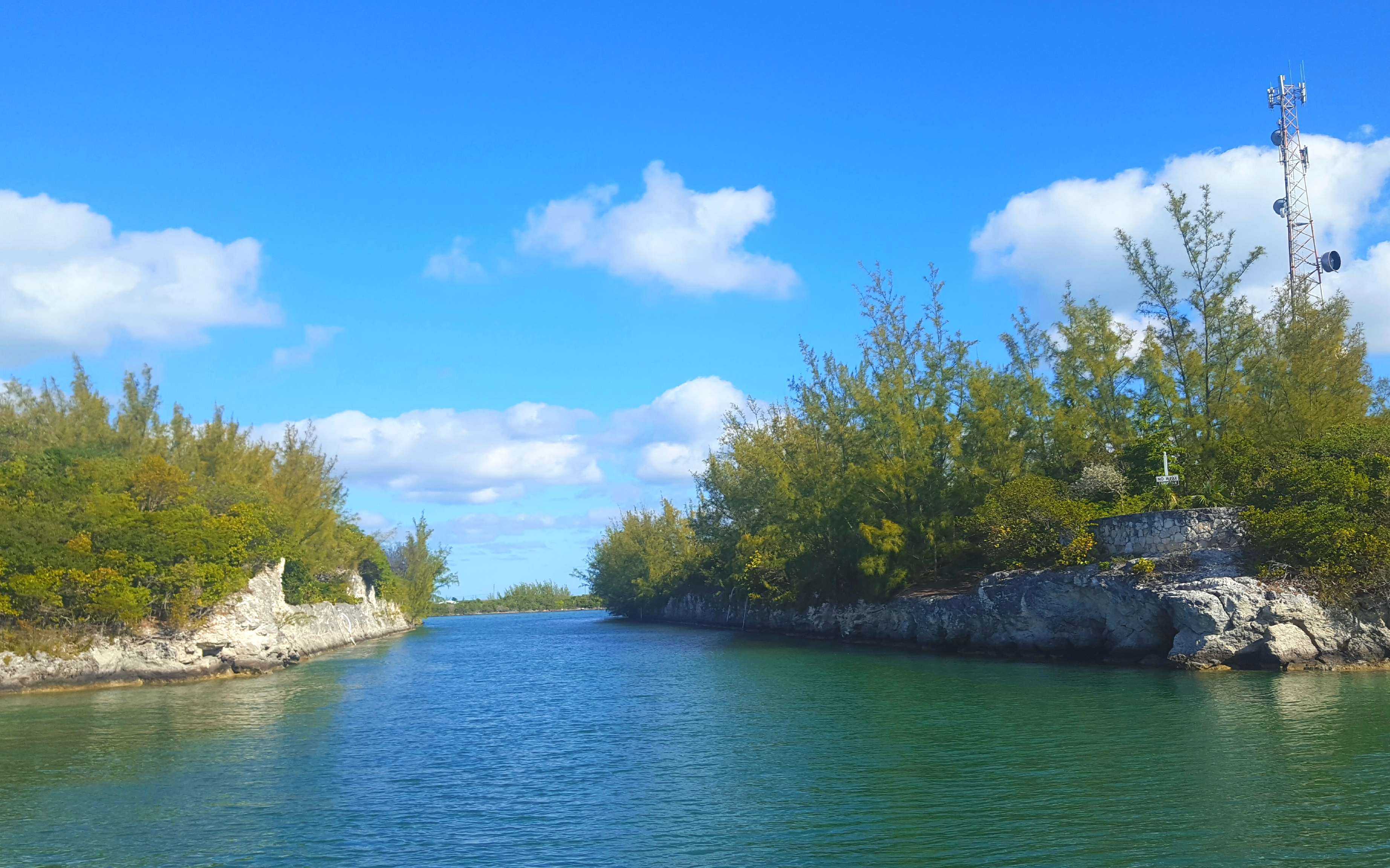
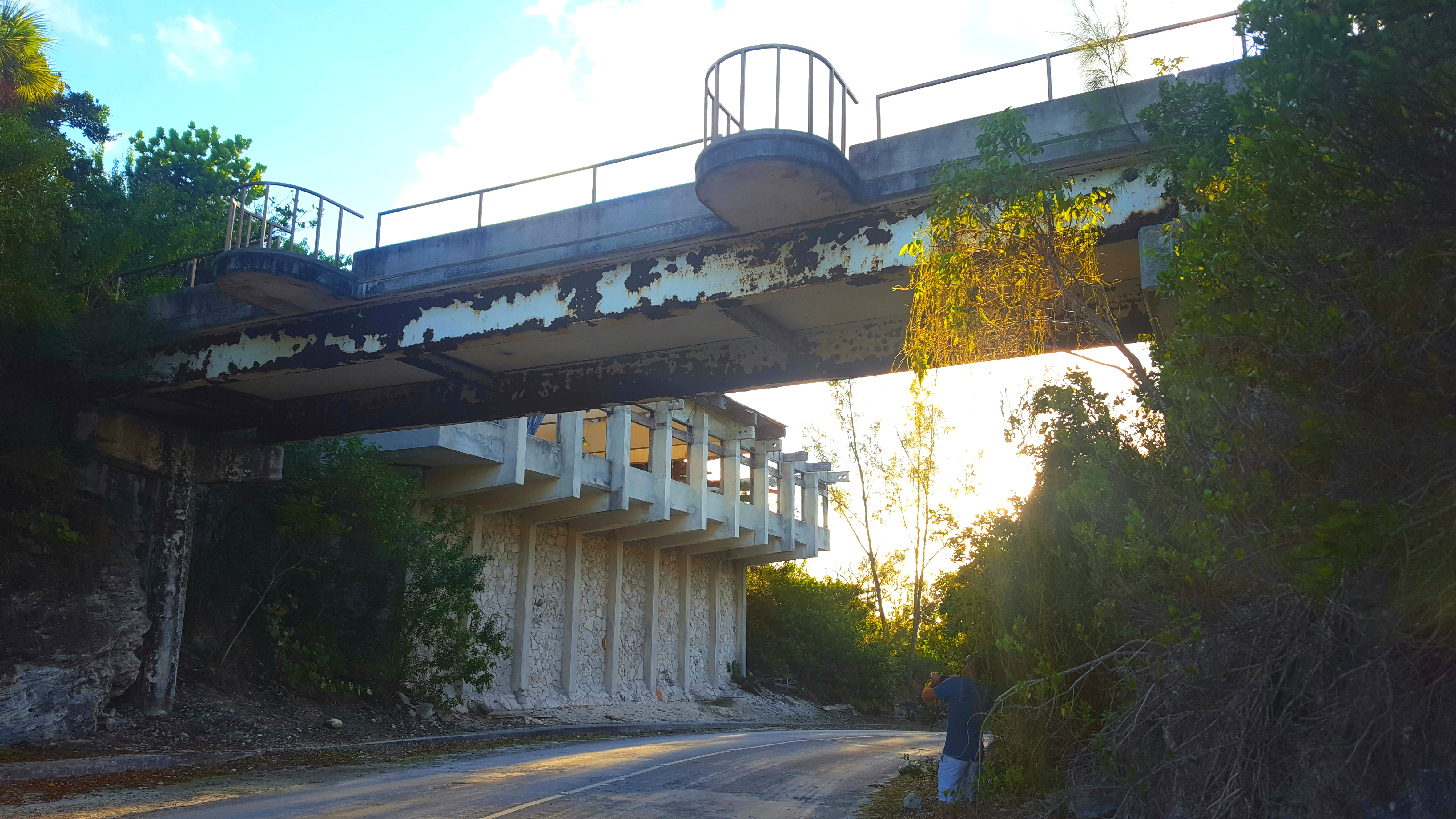
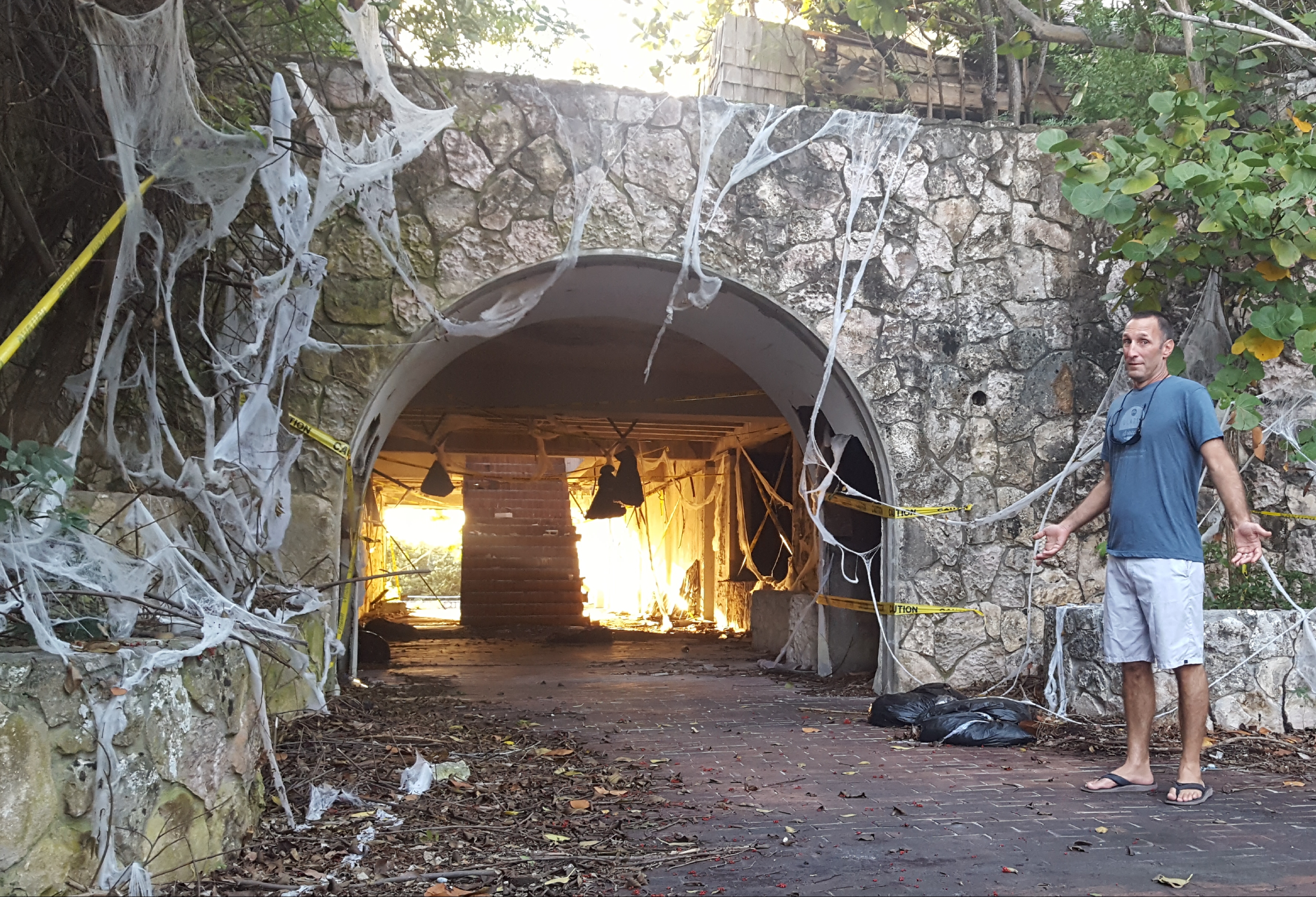
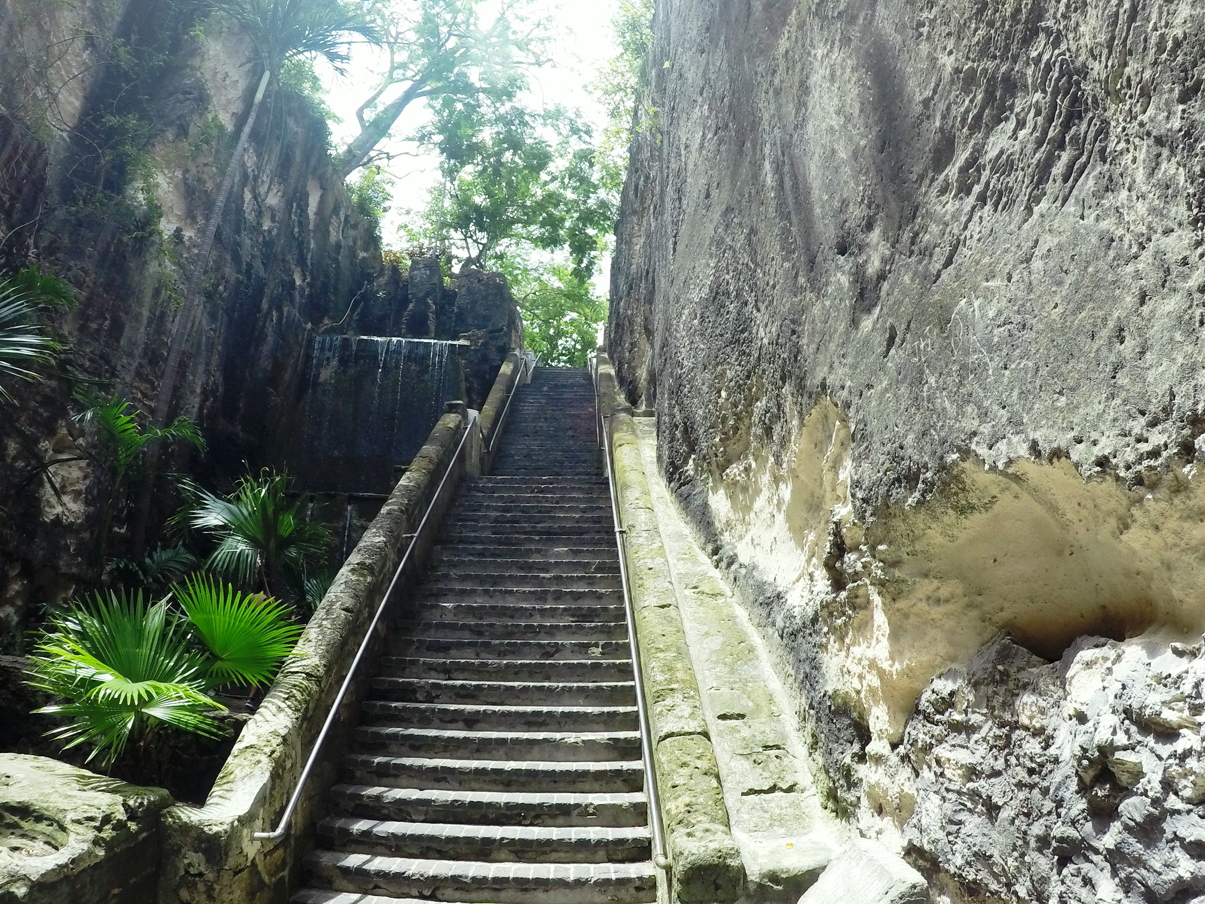
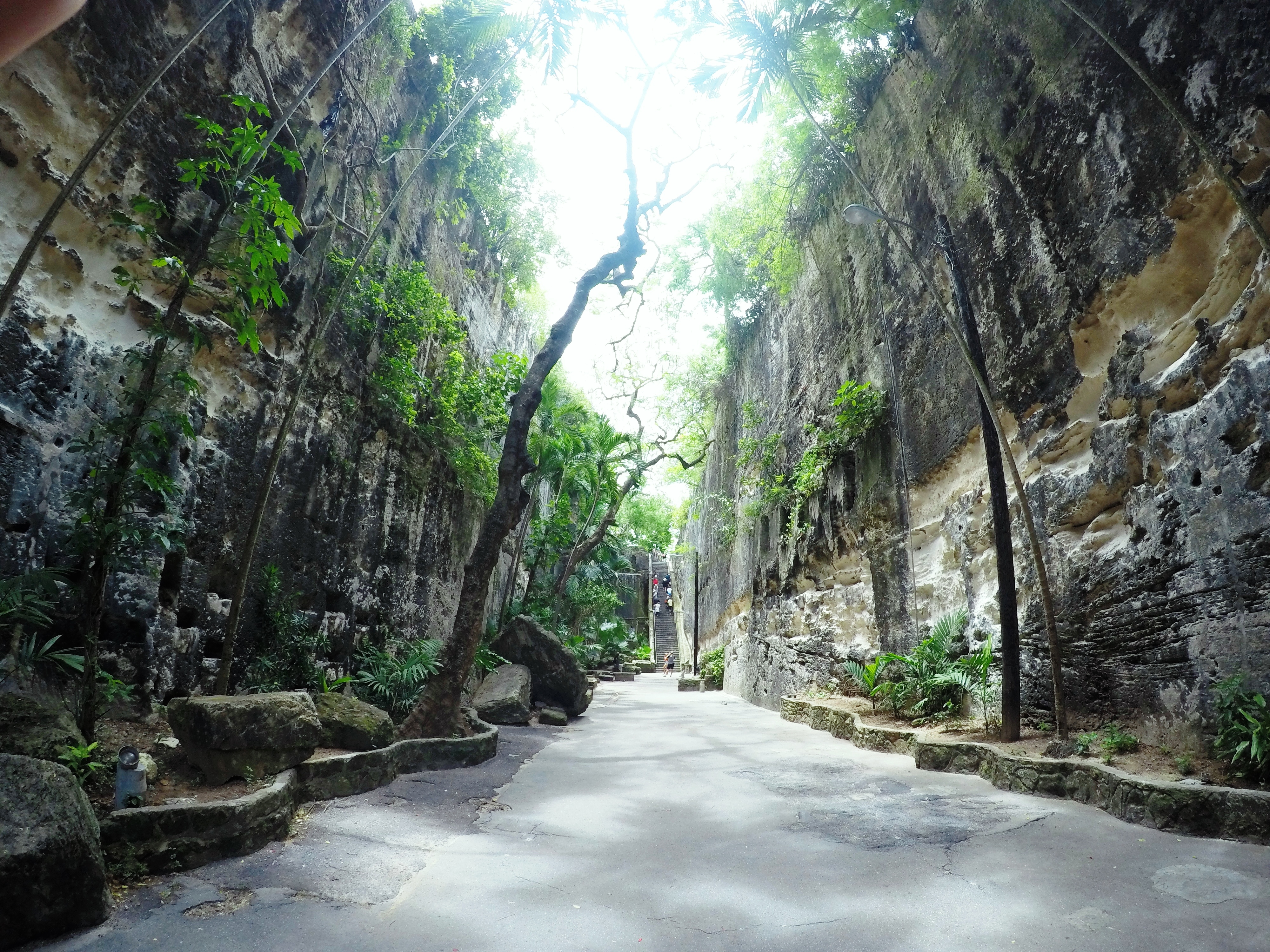
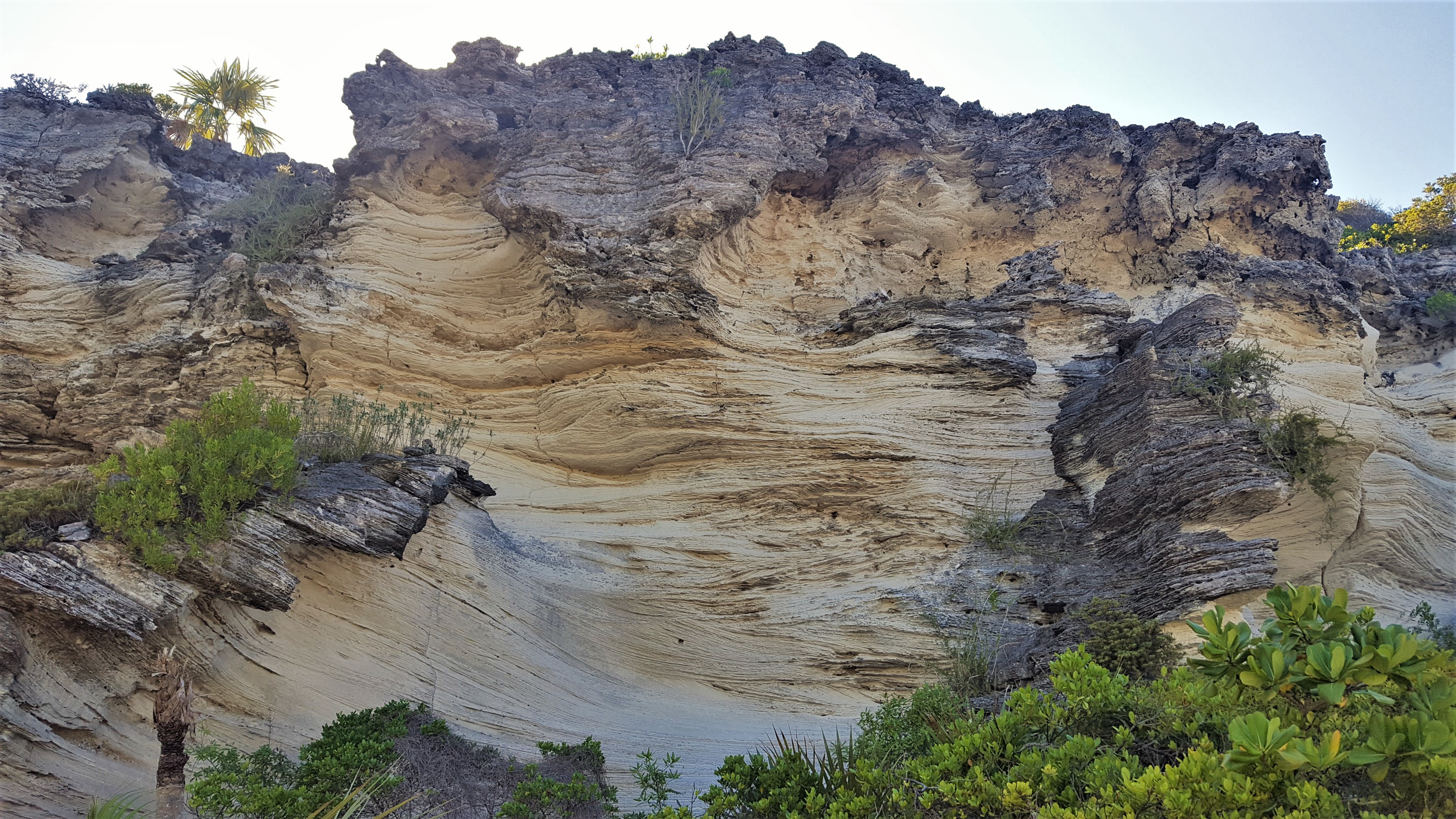
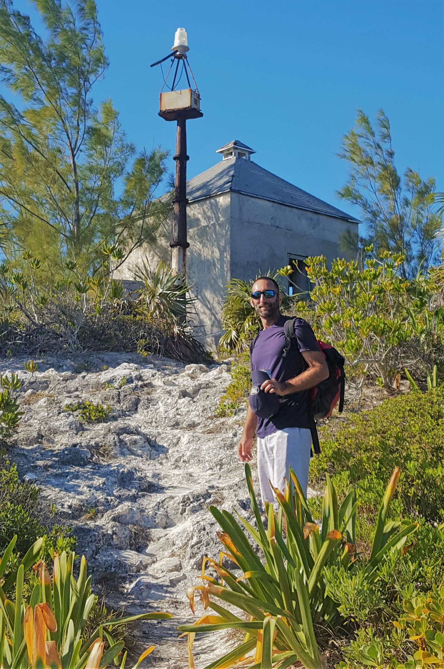
Back at the boat, we started planning our next move south. Rock Sound, much like the rest of Eleuthera had treated us very well and we would be sad to leave. The next day, we checked out more local caves (caves are everywhere here and they are all so unique and beautiful), and did our last little bit of provisioning. Next up was a return to the Exumas Land and Sea Park; a stretch of islands protected as a National Park. We looked forward to seeing some of the areas we missed last year or lingering longer in some of our favorites.
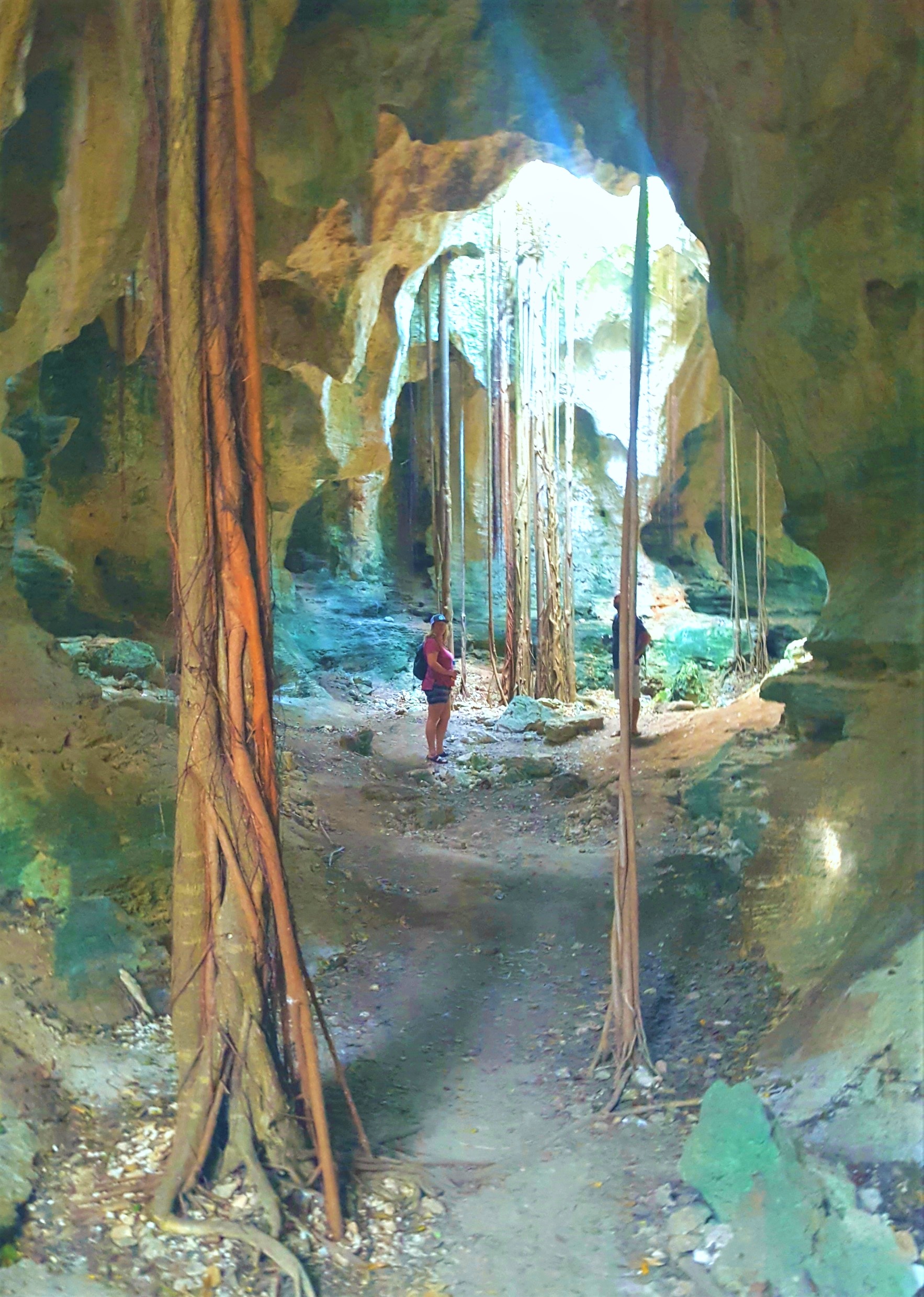
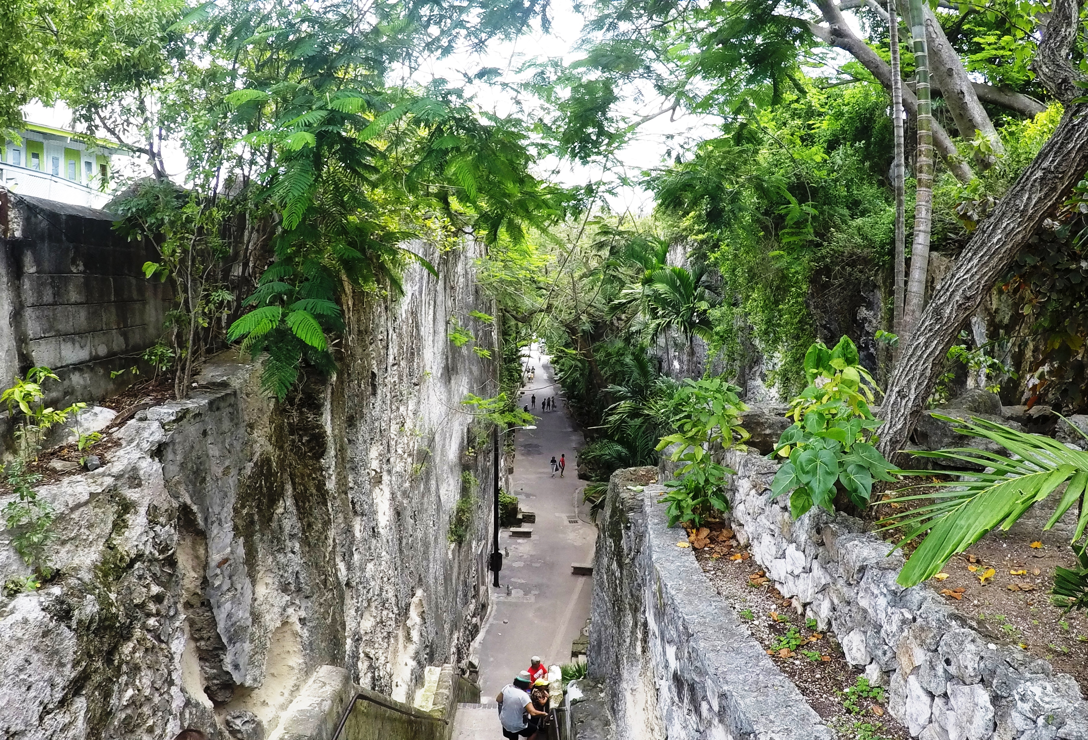
More Caves

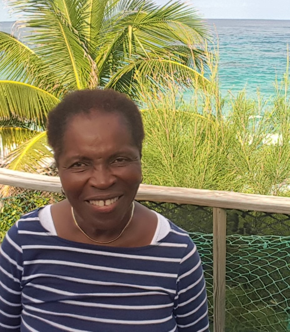
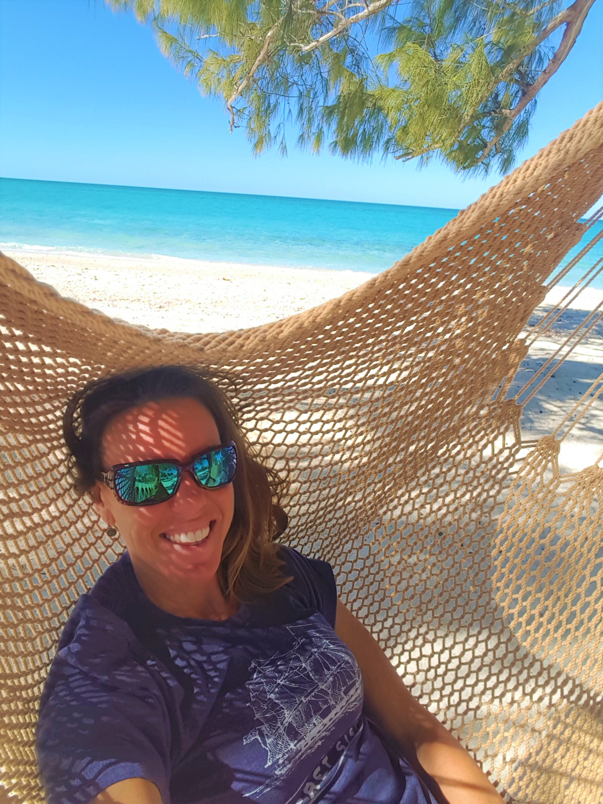
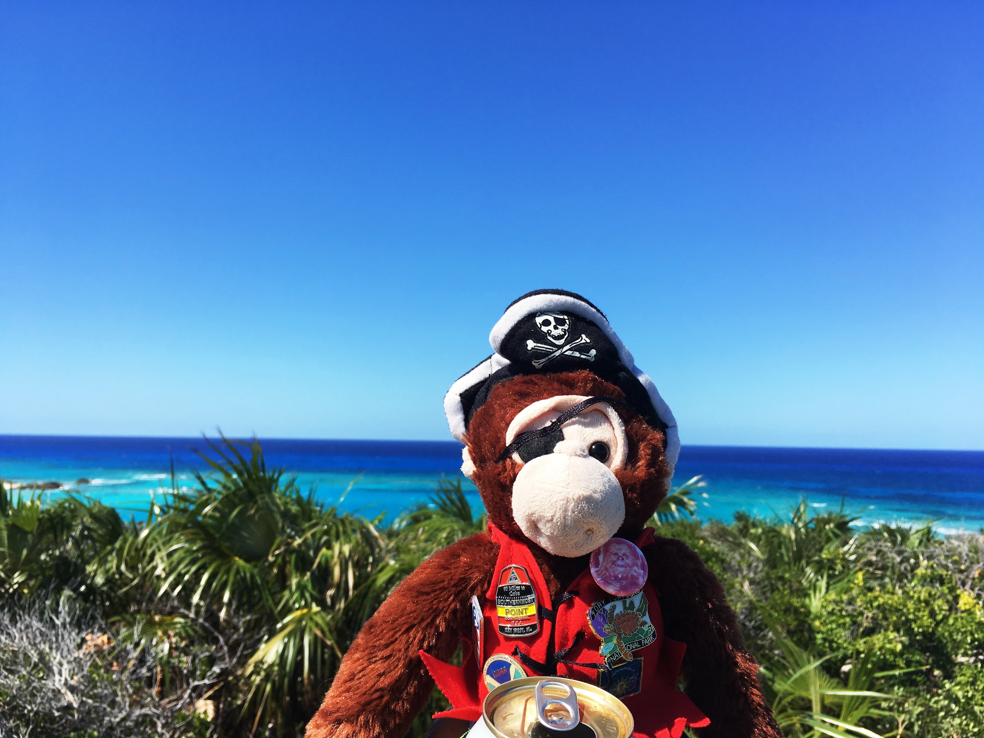
Celia could get used to this…

As some of you may know already, we are actually back in the US at this time (March 15). We did not make it as far, or for as long, as we had wished. But our family is going through a difficult time right now and their need for help outweighs our desire to sail around for the rest of the season being boat bums. Family first always…so we’re retooling a bit. The good news is that the one thing we do have at the moment is a little extra time. That time will be spent with our families this summer and fall helping with care and figuring out our next chapter. Until then, Boat Monkey has a few Adventures left to tell. Next up is a return trip to Warderick Wells and Staniel Cay in the Exumas so keep an eye out for those tales soon.

With Love and Gratitude, Todd, Celia, and Boat Monkey
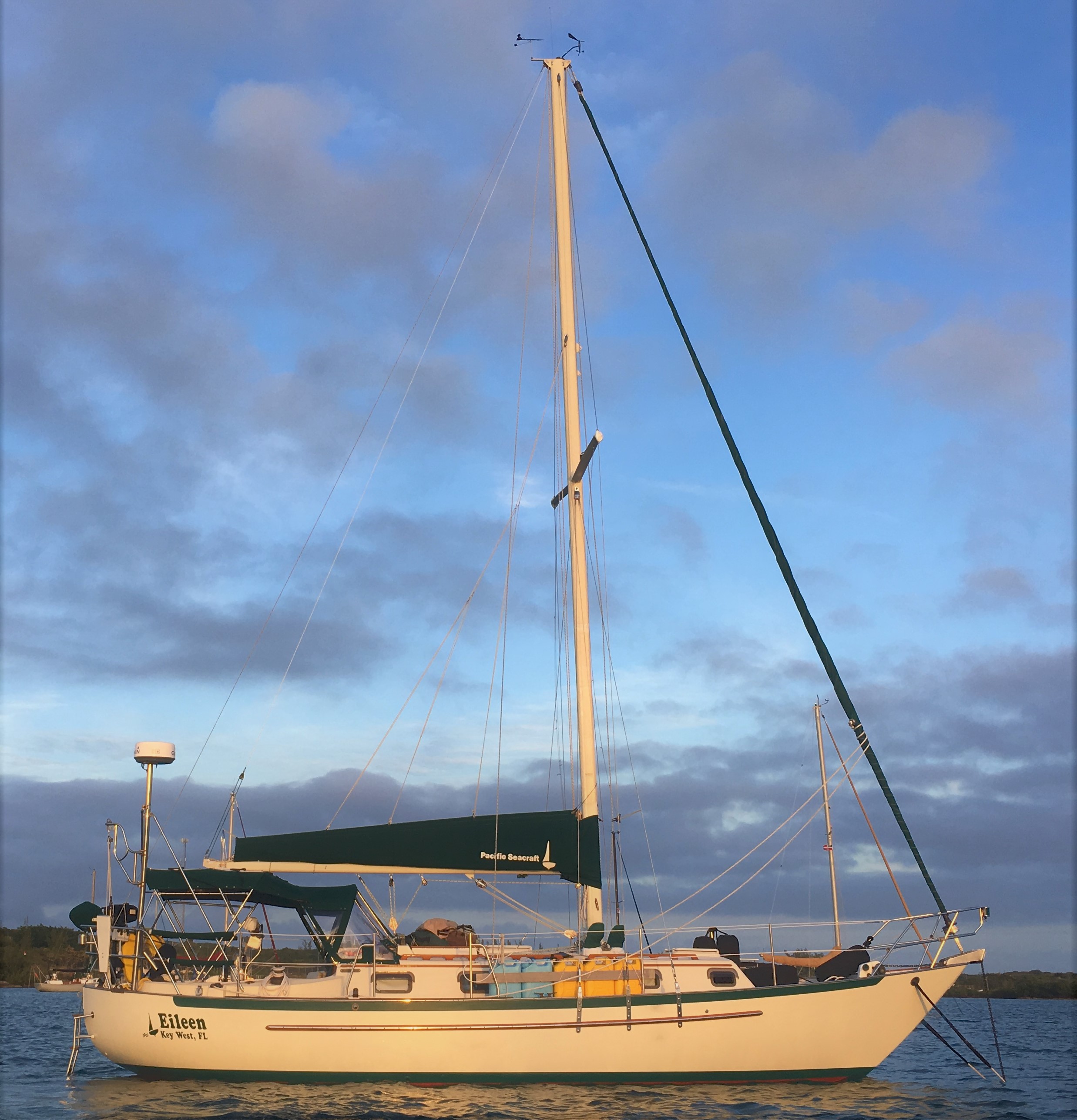
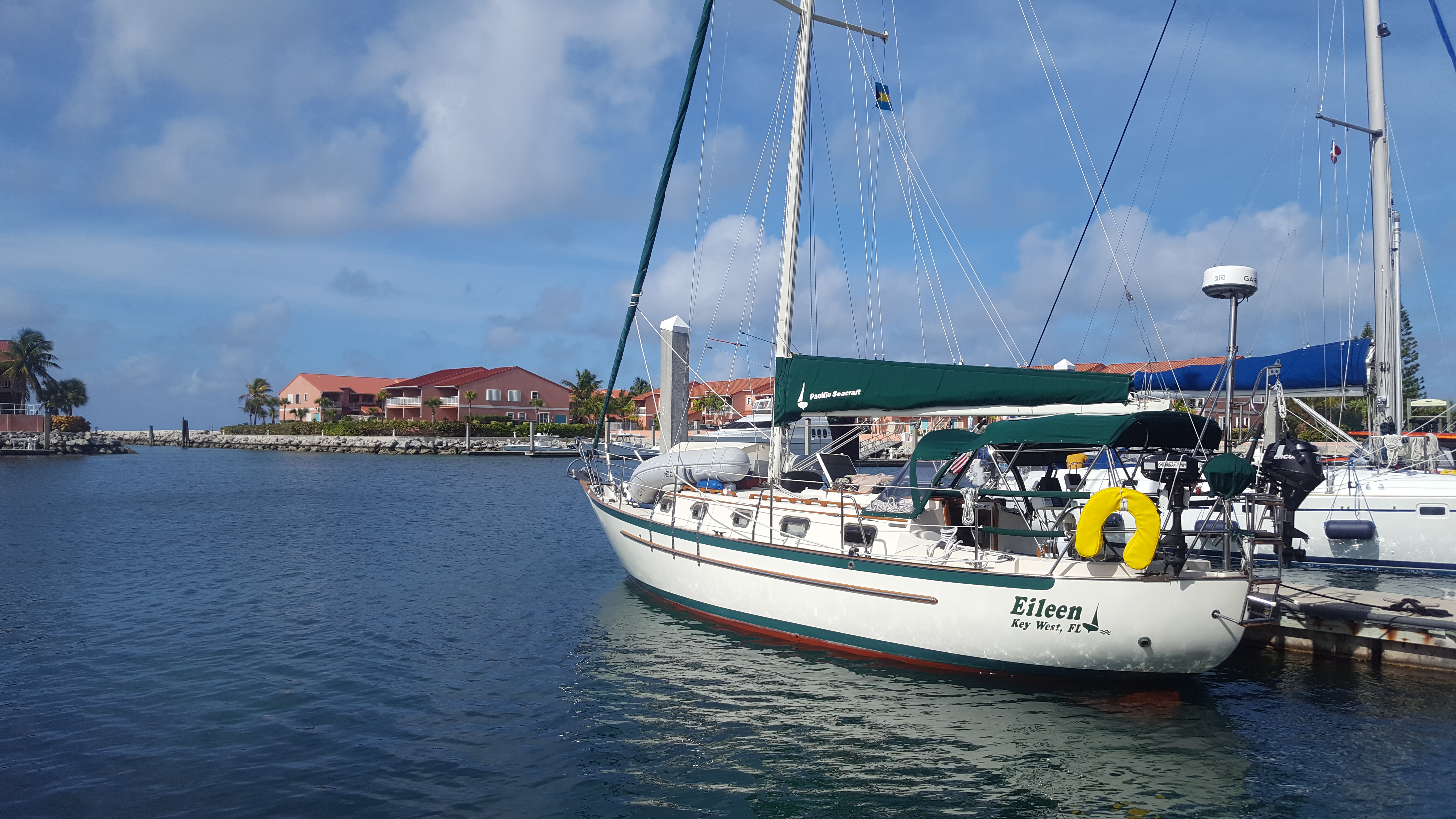
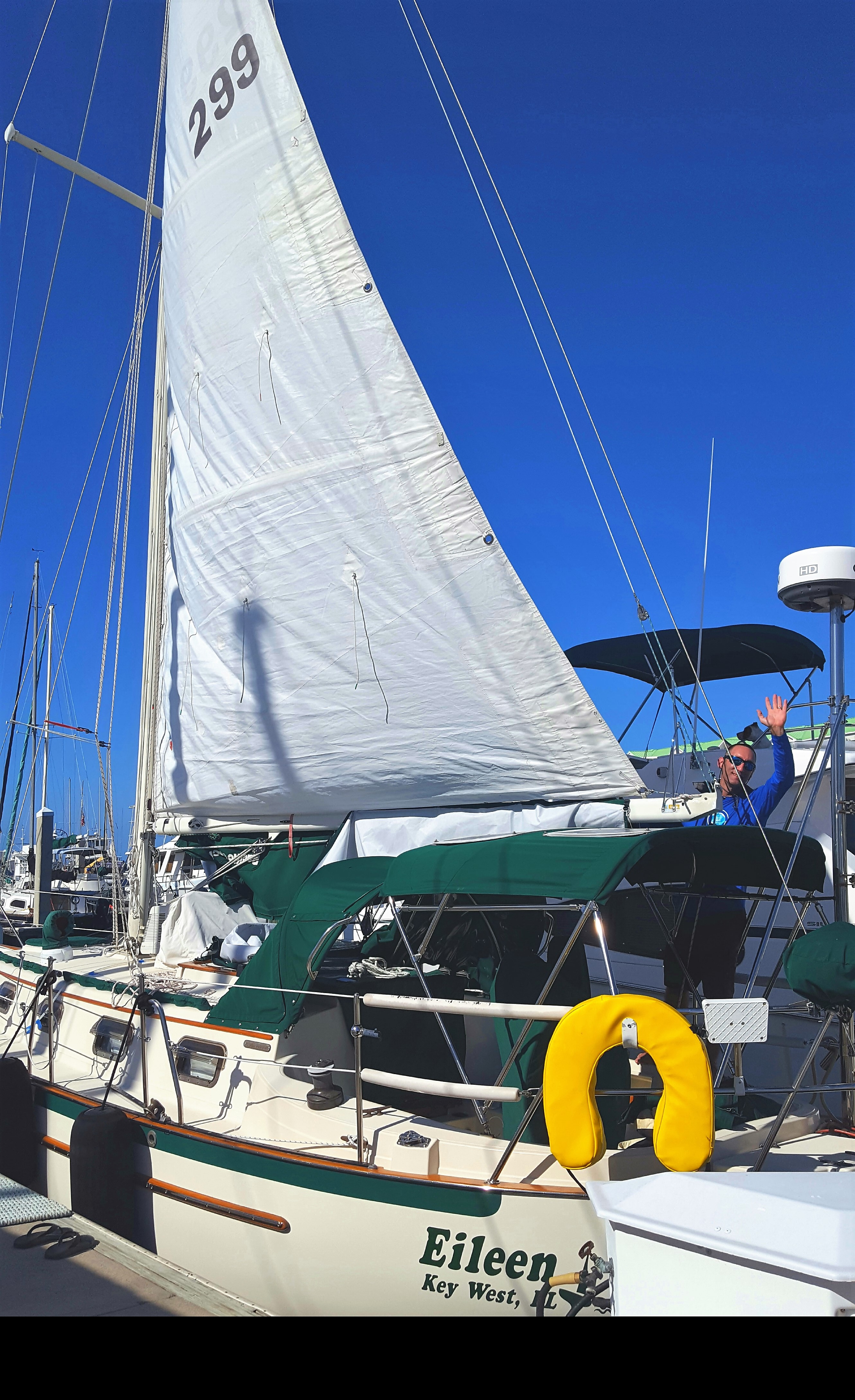
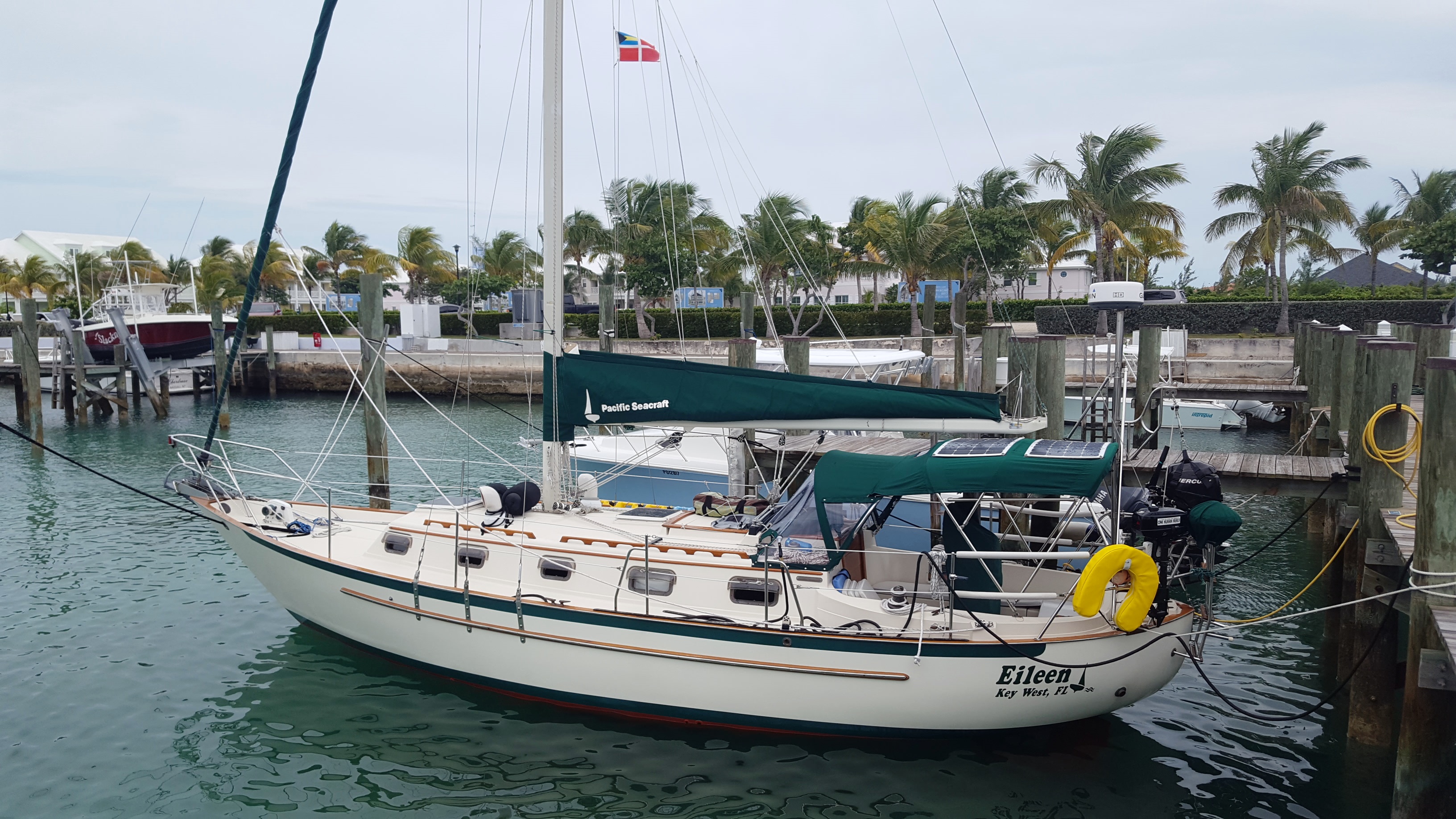
S/V Eileen

Rock Sound – Eleuthera – Slowing down for a damn minute! – February 3, 2019

February 3, 2019

The last week of travels I am categorizing as “immersive.” Although the sea miles haven’t been adding up, we’ve had an in depth exploration into the island of Eleuthera. Along the way, what I’d soon come to learn, is that this place had a few more things to teach me than simply geography.

When we started this adventure, I was hell-bent on crossing off the miles in an effort to see new and exotic places. In fact, the months of November and December I considered a total write off as we delayed with preparations and waiting on weather. I was convinced that we started too late and would now be subjected to the ‘Christmas Winds’ that plague mariners trying to make passage this time of year. “Damn,” I thought, “we’ll never make it to Grenada.” This mental pattern kept repeating itself, and made me determined even more to get us as far as possible in the shortest amount of time.

Well that tactic went over like a lead balloon! Soon I was spending a lot of time trying to convince Todd that we should push harder to use the weather to the maximum advantage. We’re sailors, right? Let’s just sail like the pros…overnight, multi-day, whatever we needed to cover more ground. In this effort, Todd naturally became irritated that I was always planning the next chess move. …Now, with that said, I do believe this exercise has merit. Coastal cruising is about planning for weather, finding protected anchorages (especially from winter cold fronts), and contingency planning. So it’s vital to know what’s ahead so you can make informed choices.

Then along came Rosie. Miss Rosalind Collie is the owner and proprietor of the Northside Restaurant located on a beautiful hillside property overlooking the Atlantic Ocean. Along with her husband (who has since passed away), Miss Rosie has been running the place for nearly 15 years. She has no staff or caretakers…just herself and her three dogs. At 70 years of age, this is quite impressive!

The beautiful Miss Rosie

We happened to meet Miss Rosie while hiking a long road over to the Atlantic side of the island to check out a pink sand beach. Realizing we did not bring enough water or sunscreen for the hot day, we were relieved when we saw her little car stop along the roadside to offer us a ride. What generosity! I could tell in an instant that I would like this little old lady with her beaming smile. It was Sunday and she was returning from church service. She was dressed in a beautiful lavender-colored dress with coordinating hat. She looked like the Queen of England! After hopping into her little car, she offered to take us to her home which was along the beach we were searching for. Of course, we quickly accepted the offer.

Welcome

The steep drive leading up the hill to her place was full of potholes and overgrown vegetation. But that didn’t stop Little Miss Rosie from navigating them like a champ in her low-clearance Toyota sedan. Did I mention that lady is cool?! When we arrived at the house, it was like opening up a door to world full of magic. The “foyer” consisted of an indoor tiki-style bar complete with soft sand floors. The “living room” served as the restaurant with an indoor deck filled with picnic tables and the best collection of driftwood art I have ever seen. Through the glass doors overlooking lush shoreline vegetation was an outdoor deck with more tables and a stunning view of the mighty Atlantic Ocean. Wow!

The indoor tiki bar

The pups

Driftwood treasures decorum

The view from the deck

After giving us a chance to look about, she welcomed us to walk along the beach before we trekked back on our course. We descended a wooden staircase and ditched our sandals. The beach was…well…EVERYTHING you want in a beach. Sugar soft sand, a pleasant incline down to the waves, and abundant beachcombing opportunities. This was simply heaven!

Down to the beach!

…all you want in a beach

…but alas, after strolling along the beach for an hour, we had to return to the boat in preparation for an early departure the next day.

We spent the evening in route-planning mode stowing loose items, looking at weather charts, reading forecasts, developing a sail plan, reviewing sea state and tide data, etc. Did I mention that route planning can be a full time job?! But somewhere in the conversation, Todd said “can’t we just stay here a few days?” Hmmm. This would mean NOT taking the next good weather window and staying in this anchorage for over a week awaiting the next window. Could I amble that long? Would I go stir crazy? What the hell would we do here for a week? But something told me this was the right choice. So after a little contemplation, I agreed. We would stay.

We immediately made plans to spend more time at Rosie’s place and dine at her restaurant. We gave her a call and she offered to pick us up at noon the next day. We woke up the next morning excited to spend more time ashore at this beautiful destination.

After making our way back to Rosie’s the next day, we sat in the restaurant and patiently waited for Miss Rosie to prepare us a home-cooked meal. We spent an hour admiring her assortment of beach treasures including old glass bottles, coral rocks, shells and ocean-battered driftwood. She really has a keen eye for decorating with recycled materials which really appealed to me. I particularly liked the green fish netting that she fashioned as window valance treatments. Todd particularly liked the helium tank that she found washed up ashore several years ago. Apparently, it fell from the sky during a space shuttle launch and found its way to her beach. A government official was called to inspect it, and seeing that it was not some biological threat or important military asset, allowed Rosie to keep it.

Beach treasures

Fish net valances

Lunch consisted of a huge plate of pan-seared grouper, coleslaw, pigeon peas and rice (a Bahamian staple) and plantains. We were stuffed and happy customers! After eating, Miss Rosie came to sit with us. I’d read somewhere that she had met Nelson Mandela. Intrigued by this, I asked if the story was true. Before we knew it, she had pulled out a collection of life photos. She had, in fact, met Mr. Mandela while he was visiting the Bahamas to express his gratitude for the Bahamian government for their support in his liberation. Her photo collection was also full of family photos including her five children and nine grandchildren who live all over the world. She has a daughter in London practicing law, a grandson in Grand Bahama who captains passenger ferries, another daughter in Australia practicing internal medicine…the list goes on.

Traditional Bahamian food

Miss Rosie’s own life story includes a lifetime of supporting education on the island. She and her husband started a primary school which served the community for over 30 years. It’s an understatement to say she knows everyone on the island.

After our trip down memory lane, Miss Rosie offered to let us roam her beach for another couple hours. There wasn’t a soul to be found on the beach that day. Naturally, Todd and I set up camp and settled into this simple, idyllic spot. Intrigued by what treasures I could find in the untouched wrack line, I set off on a beachcombing adventure. I found all sorts of ocean gifts including a small piece of fishing net that I fashioned into a purse and sea beans that drifted all the way from the Amazon river basin on ocean currents. Even Todd found some cool treasures himself.

Toddo playing on the beach

a beach purse

Somewhere in my walk, it dawned on me. This is the real ‘cruising!’ This is what I was craving. Not a landscape checklist. Not zooming off to the next thing! Now my eyes were open to the true magic of cruising. I just needed to SLOW DOWN FOR A DAMN MINUTE!!!

Now this is more like it!

Hatchet Bay – ELEUTHERA – Emmette’s Island Tour

HATCHET BAY – ELEUTHERA – EMMETTE’S ISLAND TOUR – January 24, 2019
Celia and I sat at Spanish Wells, looking at the weather forecasts and models. There looked to be a nasty little cold front blowing through for the next couple of days, bringing with it some rain and shifting winds up to 30-40mph! Many anchorages in the Bahamas are quite well protected from the easterly trade winds; there are even several to hide from strong “northers”, but there are not many protected from a strong west wind, which this front would have.
We couldn’t afford to stay at the marina in Spanish Wells and stay on budget, so we looked at a chart of the western shore of Eleuthera to see what was to be found heading along our route south. Combing through the various charts and guides, there seemed to be a small bay about 30 miles south with 360* protection called “Hatchet Bay”. The guides claimed that it was a small settlement with not much happening, and that the anchorage had “weak” holding. An old salty sailor I spoke to at the marina had unkind words for it as well. Still, it seemed like a decent choice for the weather in my opinion. I was only afraid we might get bored since it seemed likely the weather would keep us there for the better part of a week. As it turned out, I need not have worried on that account. It would be an absolute highlight of the trip with some unforgettable experiences and people.

Cut Inot Hatchet Bay

We did get stuck in Hatchet Bay for a week…and I am glad we did! There were no pristine beaches here; the harbor was surrounded by rock and Australian Pines. As we pulled up to the public dock, we were greeted by a couple locals at the top of the stairs as we came ashore to assess the “town”. One introduced himself as “Emmette”. He started rattling off the services he could provide from his convenience store and property that were perched on the hill at the top of the public dock area. “I can get you a rental car; we have laundry, showers, and a store. I give island tours if you want.” My initial reaction was that he was a typical tourist hustler and I didn’t think much of it as I thanked him for the info and proceeded on my own tour of the little town.

Perusing the town…

The settlement wasn’t big, so we decided to do a loop and poke our heads into whatever local businesses, bars, and restaurants we found along the way to see which ones we wanted to come back and visit. The town seemed a little down on its luck; the homes and buildings showing lots of neglect since some long past storm, or storms, had ravaged them. The streets had quite a bit of trash strewn about and semi-stray dogs were everywhere. Everyone was very friendly as we walked around and kids and dogs played in the streets everywhere. We found a couple local take-out (known as “take-away”) spots where the locals ate, a couple of tourist/high end restaurants, a couple local bars, and a few random stores and businesses. As we walked past the local schoolhouse and up a hill, we found a little local’s bar called “Da Spot” where we cooled off with a cold Kalik and got sucked in by a few minutes of cable TV and sports before heading back to the boat.
On our way back, we stopped at Emmette’s store to see what he had going on there. As we got to talking with Emmette, we liked him more and more. He was recently returned to his home here in Hatchet Bay after living in Nassau for most of the last 30 years for work. He was in the process of revamping and improving his family property to cater to the cruisers who now came right to him every day since the government built the new public dock there. He was in the middle of updating a couple of small rental cottages and building a small bar and restaurant. Along with everything he already had going on, it was evident he was quite the entrepreneur!
We were centrally located to visit some natural attractions in the area and inquired about renting a car the next day with our friends Zach and Lindy from S/V Holiday. Emmette said no problem and we planned to reconnoiter the next morning.

Dinghy Dock and Emmette’s Compound

As often happens, things don’t go exactly according to plan in the islands…when we arrived the next day, Emmette told us he was unable to rent us a car and no one else nearby could get one either. Instead, he offered us one of his “famous” island tours for less than the rental would have been! We said yes, and that was the beginning of our friendship with Emmette and the start of an amazing day. Emmette had a couple chores to do before leaving and so we hung out and met his wonderful wife and son. When he came out to load us up in his little SUV, he was holding a guitar and told us he was also a well-known musician on the island. He had a song about the island of Eleuthera he had written that they play on the local radio and wondered if he could play it for us before we left…um yeah! His song, “Eleuthera”, (among others) became an ear worm for all of us for weeks to come!

Emmette plays us his song “Eleuthera”

We asked him to take his guitar with us and we headed to our first location: the Hatchet Bay Caves. These are the longest underground caves in the Bahamas. The caverns stretch for over a mile. You can actually enter the entrance just off the Queen’s Highway (the main north-south road up and down the middle of Eleuthera) and come out a different exit at the ocean’s edge! Apparently, you can get lost down there and there is a string which marks the main route. It is of course very dark and we brought powerful flashlights to light the way. It was indeed one of the strangest and interesting caves I have been in. The only negative was that much of the walls were marked with graffiti. Otherwise, we were amazed at some of the structures and the sheer size of this underground cavern. After maybe 1/3 of a mile in, my flashlight which was by far the brightest one we had, started flickering, and we decided to turn around and head back out the way we came. It was then that Emmette, who is from here, admitted that this was his first time ever going down there! We emerged back to the world of light after about 40 minutes in the caverns. What a crazy place!

Cave Entrance

OK…Creepy

Wow!

Next up was the Queen’s Baths. These natural pools are like your own personal baths carved from the rocks and situated in a beautiful spot where the incoming tide turns them into bubble pools. Before we got there, Emmette was inspired by our many questions about the area and went into full on-tour guide mode. He was very open and knowledgeable about the history and geography of the island and shared this information generously. Suddenly, he pulled off on a dirt road, proclaiming that this was Lenny Kravitz’ property which he was fixing up and was currently building a new house on the property for his daughter. He said he had done a little work for him and he was a super nice guy. Lenny is currently on island and Emmette said we could ride out towards the house under the pretext of asking one of his contractor buddies something and we could see if we ran into him…fun! While we got to see his houses and the property, we did not see Lenny. No brush with fame for us this day.

Lenny Kravitz’ Property

The Queen’s Baths lived up to the hype and a couple of us braved the cool temperatures and took a little dip while we cracked the days first beers. After a bit of exploring, we hopped back in Emmette’s car for the ride to the famous Glass Window Bridge. Once a narrow, natural rock arch separating the mighty Atlantic from the Exuma Sound, a severe hurricane had collapsed the natural bridge. It was now replaced with a man-made concrete bridge to keep the island connected. However, it is still quite a dramatic place to visit. We enjoyed the views, took some pictures and it was on with the tour.

Queens Bath

When we had left, Emmette said he had maybe 3-4 hours to show us a few spots. I think he was inspired by our enthusiasm and attitude about life and he really wanted to show off his island. He announced that no tour of Eleuthera would be complete without a visit to the Sapphire Blue Hole and Preacher’s Cave. They were about a 40 minute drive further north. We all seemed to be having fun, so it was on to the Sapphire Blue Hole. We thought we had seen some pretty sweet Blue Holes by now and figured it wouldn’t be anything too dramatic. Wrong again! We drove out a seemingly endless and empty road to nowhere and turned up a non-descript dirt road. Suddenly, we arrived at a little parking area with a couple of picnic tables. The lot of us walked up the little path and peered over the edge to see a color of blue water in this tiny Blue Hole which even the Bahamas had not previously revealed to us…it was incredible! The pictures do it no justice. We couldn’t wait to jump in. It was beautiful. After our swim, we had a picnic lunch while Emmette played some more songs for us on his guitar.

Sapphire Blue Hole

Sapphire Blue Hole

But we were not done. Next was “Preacher’s Cave”. If you read my last post, you will remember that some of the earliest inhabitants of Eleuthera were the Eleutheran Adventurers who gave the island its name (which loosely translates to “freedom”). They were a group of pilgrims seeking religious freedom who shipwrecked on a reef of the famous “Devil’s Backbone” in northern Eleuthera. The survivors came ashore and there discovered an enormous cave near the beach open on one side which allowed them shelter and where they would make their first home and start their settlement of the island. Much like Hatchet Bay Caves, most of the guidebooks say these places are hard to find and get to, but apparently someone has recently taken an interest in making them presentable and accessible again. We found new signs pointing the way and the paths had been cleared. Preachers Cave had a monument to the early settlers and Emmette told us this place was said to be haunted. It did have a little bit of that feeling that would make you not want to be there at night alone! There were several natural skylights which allowed you to explore the interior of the space. There was a giant bee hive in one of the upper skylights. What a lucky place to shipwreck!

Preachers Cave

We drove over to see the beautiful beach where they had come ashore and look at the Devil’s Backbone Reef. It was back into Emmette’s little SUV for the long trip back south. It was already late in the afternoon, but Emmette wanted to take us to even more sites! We stopped at a couple more off-the-beaten-path beaches on our way south where we had a couple more beers while Emmette played guitar and sang Ronny Butler (the godfather of Bahamian music; look him up!) songs for us. As we pulled back onto Queen’s Highway, we all had big smiles after such an eventful day. We never would have gone so many places or the places we did in a rental car without Emmette as our tour guide. He even paid for the gas! Back at his place, we expressed our gratitude, and settled up with a nice tip on top of the agreed upon fee. Over the next week, Emmette became one of our favorite people we have met in our travels through the Bahamas. He was knowledgeable, affable, generous, gracious, and loved to sing and play his guitar. Much time was spent hanging out in front of his little store in conversation with his family or with the locals who would stop in for this or that.
The anchorage had been a good choice. The bay is so protected from every direction with just a tiny cut in the rock to get in and out. The holding ended up being very good. The anchor was well dug in and we held just fine in wind gusts of over 35 kts! We discovered some amazing caves just outside the harbor one day which were so big we could drive the dinghy into them. One of them even had bats in it!

More Caves

Bats!

They flew around a bit when we shined the light on them and kind of freaked us out. Hatchet Bay was a great time. We began to understand what a beautiful island Eleuthera is and started looking forward to seeing more of it! After a fantastic week, the weather was good for travel finally and we made the boat ready to depart. Next stop was the next protected harbor on the south end of Eluethera called “Rock Sound”.

Thanks for taking the time to read these posts. As of this writing, Boat Monkey and the crew are enjoying some time in the Exuma Land and Sea Park after we had a little engine issue we had to deal with at Staniel Cay. I will try to post about our visit to Southern Eleuthera and our return to the Exumas as soon as possible. For anyone who tracks our progress on the map, you may notice we are moving back towards the north. Unfortunately, life has thrown a little curveball at our family, and we will be sailing back in the direction of Florida over the next few weeks so as to be more available to help support them.

Lots of love from Todd, Celia, Boat Monkey, and Captain Cluck.

ELEUTHERA – SPANISH WELLS – January 19, 2019

ELEUTHERA – SPANISH WHALES (I mean WELLS) – January 19, 2019

After departing our beloved Berry Islands, Boat Monkey’s next stop would be the island of Eleuthera. Eleuthera is a very long, thin island which sits approximately 50 miles east of Nassau. Eleuthera lies in a north-south configuration and is over 110 miles long and little more than a mile wide in a few spots. The entire island has a population of around 10,000 people. Even its most densely populated areas are really just small towns with the rest of the island being somewhat rural.

Map of Spanish Wells

The name “Eleuthera” is derived from a Greek word meaning “free.” The original inhabitants were Arawak Indians who were decimated by Spanish enslavement and were gone by the mid-1550’s. The next natives were Puritan Pilgrims known as the “Eleutherian Adventurers” who arrived in 1648 and who gave the island its name. As with many islands, Eleuthera, and the Bahamas in general, have experienced many booms and busts of prosperity. Prior to changes resulting from Bahamian Independence in 1973, there was a lot of development, infrastructure improvement, and foreign investment throughout the Bahamas between 1950-1980. Not long after independence, foreign ownership laws and US tax laws changed and many of the resorts, properties, and businesses were either abandoned, sold for pennies on the dollar, or eventually failed.
Still known as the “Pineapple Island,” from its agricultural boom, there are several working pineapple farms on the island. There are also huge concrete silos dotting the landscape from the cattle ranches that once took up much of the land here. As with many Bahamian islands, there is a strange mix of abandoned and half derelict developments and new mega-developments underway. There remains a strong agricultural component here. Every property seems to have huge mango trees; we wish it was mango season!!

The tidy town of Spanish Wells

History aside, this is one of the most gorgeous islands we have visited. Eleuthera is known for its pink sand beaches, innumerable caves, and natural beauty…and we have not been disappointed! We have found the locals extremely genuine and friendly throughout the island, much as one would expect in small rural towns anywhere. We have been treated so kindly and generously here. The awesome people we have met coupled with Eluethera’s stunning natural attractions and beauty have caused us to slow down and let most of our cruising buddy boats pull on ahead of us. In the end, we will have lingered here for what will be weeks before we move on to the Exumas. We could explore this island for months before getting sick of it.

Ho-Hum, another beach bar.

There are three main regions of the island; north, central, and south Eleuthera. From the Berry Islands, we sailed S/V Eileen to the northern town of Spanish Wells…which will now forever be referred to as “Spanish Whales.” Our friends on S/V Holiday are from Georgia…and Celia, Boat Monkey and I had a good laugh when they would come on the radio with their southern drawl, making “Wells” sound like “Whaaales.” The next time we were chatting on the radio, I asked how these whales had swam all the way from Spain! That got a chuckle.

Some of the fishing fleet in Spanish Wells

We arrived after dark on a moonless night and were a little nervous coming into the main harbor area at night. It ended up being pretty straight forward and we anchored off the town for the night to get some rest. Early the next morning, we decided to pull into the marina for some fresh water, showers, laundry, and shore-side provisions. Spanish Wells is a very quaint and well-kept town which still boasts an active fishing fleet. The town had an industrious and active energy to it. Spanish Wells has a big grocery store and we were excited to get some fresh veggies. We rented a golf cart to get our errands done and explore the area a bit. I was in a bit of a rush to get the work done so we could go play. I had set the gas and diesel jugs on the back of the golf cart and I apparently forgot to tie them off! As I turned the first corner, there was a loud noise! I looked behind us and it was a YARD SALE! Jugs were bouncing all over the road! I got a couple “stupid tourist” looks from passers-by as Celia and Boat Monkey laughed at me from the cart. I got the jugs re-secured, and with only my pride hurt, set to getting the errands done.

Yard Sale!

Budda’s

Kitchen at Budda’s

Later in the day, we were able to take a ride outside town to a small beach bar where we soaked up a little down time and then made our way back to the marina to get cleaned up. Celia met some cruisers from Carmel, Indiana aboard S/V Big Frisky who were really cool folks. They and our friends from S/V Holiday and S/V Wandering Princess all met up at one of the cool local watering holes named “Buddah’s”. They had some great Happy Hour specials and good cheap food. WINNER! Celia and I hung out after Happy Hour while we waited for a call back that our propane tank had been filled. It had been a full and busy day and we retired to the boat for the evening. We would need to be leaving with the fair weather early the following morning.

Celia having a rough day.

Although we likely would have anchored off the town and stayed longer, we were faced with the prospect of a very nasty cold front coming our way over the next week or so. SV Eileen would need to be tucked in somewhere protected for several days. There were no great options near Spanish Wells and we could not afford to stay in the Spanish Wells Yacht Harbor Marina for so many nights. It would be necessary to get on the move. We picked a very secure anchorage at Hatchet Bay, about 1/3 of the way south along the west coast of Eleuthera. This would end up being a great choice! While the online reviews for the area said things like “not much to do here” or “a little run down” etc., we found Hatchet Bay to be one of the most fun and genuine experiences we have had in the Bahamas. We lingered here for over a week enjoying the hospitality of the locals and visiting some amazing natural attractions and caves. I can’t wait to write about it! But you will have to wait for the next post to read about that!

We Love Eleuthera!

We are currently anchored in Rock Sound, South Eleuthera. We continue to linger here while all of our cruising buddies have moved on. It has given us a chance to explore some of the most beautiful spots on the island, meet new friends, connect with a former Seacamper who gave us an incredible tour of the facility she works at (more to come on that, too), and take a few deep breaths before we sail on. I will also admit that our next destination is remote…staying here in Rock Sound will allow me to watch The Patriots and Tom Brady earn their SIXTH Superbowl Championship on Sunday. Not only that, but the bar we are anchored next to has a Patriots fan for the bartender!

Not all fun and games…Celia prepares to scrub Eileen’s bottom.

Until next time, the crew of SV Eileen hopes you enjoy the FB pics and more detailed posts here at BoatMonkeyAdventures.com! With love, Todd, Celia, Boat Monkey, and Captain Cluck.
GRATITUDE EVERY DAY!

LITTLE HARBOR CAY – FLO’S CONCH SHACK – January 17, 2019

LITTLE HARBOR CAY – FLO’S CONCH SHACK – January 17, 2019
Next on Boat Monkey’s itinerary after Devils Cay was a quick little trip south to Little Harbor Cay. This island is also part of the Berry chain and lay just about 12 miles away. We were sad to leave but eager to explore more islands. We had never been to Eluethera and that was to be our next major stop. First however, we had read about a little bar and restaurant called Flo’s in Little Harbor Cay which was supposed to have good food and cold beer in one of the most isolated spots you can imagine. While the namesake “Flo” has apparently passed away, the Darville family continues the tradition. We called the day before to make sure they would be open and willing to host us for lunch. (This has become a good practice before getting your hopes up for some of the more isolated businesses you read about in the guides…they are not always still in business or open.)

Dinghy Dock at Flo’s (on hill in background).

Mr. Darville answered the phone and assured us he would be there and to show up for lunch around 1pm. We arrived at the anchorage around 10am after a short sail down from Devils Cay. Along with our friends on SV Holiday, we had the place to ourselves. Around 1230, we headed up to Flo’s. The huge conch mounds along the shoreline next to the well-kept docks announced that this place had been around for many decades. The family has a little compound up on the hillside and the restaurant/bar building was a quaint screened in affair with a great little bar and a gorgeous view of the nearby islands.

Conch Mounds

There were a couple younger guys who had jet skied across the inner sand flats about 20 miles from a yacht to have lunch and a few beers there. They left soon after we arrived to head back. The proprietor came out and asked if we wanted conch fritters…we said yes. I think that was about the extent of the words he spoke to us from that point forward. He was not very social. However, we also got him to get us some cold Kaliks and he disappeared into the kitchen. After he brought the (delicious) conch fritters, he disappeared again. We never did see a menu or get told what was available, but about 10 minutes later he reappeared with several family style platters of fresh fried fish, cracked conch, homemade peas and rice, homemade cole slaw, and some more Kaliks…and promptly fled to the back again without a word.

The Bar at Flo’s

While the service experience left a bit to be desired, the food was absolutely great and the beer was cold. The view was impressive too. After we had chilled a while, a group on a little sport fishing boat came in and filled the place up. It was time for us pay our tab and leave the place to this new group. We stapled our boat card to the wall with all the dollar bills and stuck a “One Human Family” sticker on the beer cooler. I tracked Mr. Darville back in the kitchen and asked him what we owed him. I told him the origin of the sticker and how it was the motto of our island home in Key West. That finally broke him and he flashed a genuine smile and gave a chuckle. He thanked us for coming in and we took the last of our beers outside to sit down by the dock for a bit.

Boat Monkey surveys the dock from the well-used cutting board.

As we headed back to the boat to prepare for our next long passage across the Northeast Providence Channel, we wished we could stay longer as this looked like it would be another fun area to explore a bit. However, the weather was going to be fair to get across the 60+ miles of deep water to Eleuthera and we were excited to visit a new place. If the weather had been different, we likely would have had to head to Nassau and skip Eleuthera on this round. While 60 miles may not seem like too much, this channel has some of the deepest areas in the entire Atlantic Ocean at over 12,000ft deep! It is important to properly prepare for these deep water crossings. When winds are greater than forecast, or from a different direction, it can really make things uncomfortable or even unsafe. Our experience thus far has taught us not to trust wind forecasts and models very much!

Until next time!

Next stop was the fishing village of Spanish Wells in North Eleuthera! More posts coming soon! With love from Todd and Celia, currently anchored in Rock Sound, South Eluethera.

DEVILS CAY – BERRY ISLANDS – January 19, 2019

Boat Monkeys next stop after leaving the Great Harbor Marina was the anchorage at Devil’s Cay. We pulled around the north side of the Berry Island chain under sail. One of our buddy boats, S/V Wandering Princess remained behind to enjoy Great Harbor. However, we were joined by Cody and Katie aboard S/V Zoe who were also eager to check out this area. The two northernmost islands are called Little Stirrup and Great Stirrup. They have both been purchased by Cruise Ship companies and are in a state of major development. A small city of trailers for the construction crews dots the hillside, while large earthmoving equipment alters the landscape to build what appears to be a large beach resort and giant barges appear to be building cruise ship docks. We passed two cruise ships at anchor as they ferried their guests back and forth to the islands.

Bye Bye Cruise Ships

Once on the eastern side of the Berry Island chain, our destination lay about 25 miles to the south at Devils Cay. This area is one of the most beautiful anchorages and natural areas we have visited in the Bahamas. The Berries in general are somewhat underutilized as a cruising area, and you can often have an anchorage to yourself. Once again, the weather forecasts and models were not particularly accurate and we found we had to motor sail since the wind was a little too close on our nose.

Near the anchorage at Devils Cay – Boats in background above island on right.

As we pulled through another narrow cut, we could see that there were almost 10 boats in the small anchorage already. The guide books said the anchorage was good for only 4-6 boats. This was the only protected anchorage nearby for a little weather system coming through so we would have to find room. Sure enough, we went to the furthest inside spot of the anchorage and found a little spot to nestle in without getting too many dirty looks for being too close to our neighbors!

Not that bad…

Once we got the anchor set and settled in, we looked around at the several beautiful islands and beaches surrounding us. We were eager to start exploring! A huge Blue Hole in the middle of nearby Hoffman’s Cay was one of the highlights we originally learned about from our friend Corrinne who used to work on yacht charters in the Bahamas. Boat Monkey joined Celia and I along with the crew from S/V Zoe to dinghy out in search of the ¼ mile path leading from a nearby beach up the hill to the Blue Hole. We zoomed along the craggy shoreline, marveling at the strange and ancient limestone geology that makes up most of the Bahamian Islands we have seen.

Boat Monkey ready to find the Blue Hole

We beached the dinghies and found the path. Once at the top, we were all surprised by how big the Blue Hole was…it was huge! Connected to the nearby ocean by a series of underground caves, the Blue Hole boasted the same crystal clear blue water as the rest of the Bahamas. The “pond” even had a regular tide cycle and was inhabited and visited by the usual assortment of marine fauna. There were even two “regular” sea turtles who were there each time we went munching enthusiastically on the algae growing on the rock walls. There were two ways to go in…jump from the 20 ft. high rock ledge, or walk down the path and slide on in. Compared to the old granite quarry cliffs we used to jump off of as kids in Gloucester, this was pretty tame stuff. The ledge it was! Awesome!

Celia lounging in the Blue Hole

Todd surveys the leap.

Boat Monkey decides not to jump and gets a tan.

The way back up.

The next day was forecast to be the last calm wind day we would have while we were here. The eastern shores of the Berries are more often than not exposed to the Caribbean trade winds out of the east, making it difficult to dive or snorkel their offshore coral reefs. We were eager to check out the reefs we saw on the charts, as well as test out our new Hawaiian sling and see if we couldn’t bring home some fresh fish dinner. We waited for what we thought would be near slack tide and jumped in our Dinghy (affectionately called “Captain GO-GO” when it sports the 9.9hp outboard and “Captain Putt-Putt” when rolling with the auxiliary 3.3hp motor) and headed out the cut.
The reef was gorgeous! There was a long stretch of moderately shallow reef about 300 yards off shore. As we often do in the Bahamas, rather than anchor the dinghy and swim near it, we both drift WITH the dinghy as we each take turns holding onto its bowline and free-diving. This allows you to cover more ground of course, but is also safer due to the ever present currents around the Bahamas. Also, if someone spears a fish or catches a lobster, you do not have to swim with your bloody fish hundreds of feet back to the dink. WIN-WIN!

Fish Bites!

Invasive Lionfish

Strange Elkhorn Colony.

I have been a divemaster, scientific, working, and recreational diver for 20 years in the Florida Keys and Virgin Islands. It is no exaggeration when I say that what we saw stretching before us was a complete surprise! From a crest of about 15 feet down to about 35 feet was one of the largest, most gorgeous and healthy Elkhorn Coral reefs I have ever seen in my life. Elkhorn coral has become extremely rare over last few decades and I was so happy to see a little piece of what it must have looked like in all of these areas 50 years ago. Unfortunately we had forgotten the Go-Pro! We drifted about half the reef line just marveling at the beautiful Elkhorn formations. We motored back up-current and armed ourselves with the new Hawaiian sling and a traditional pole-spear (spear guns are illegal in the Bahamas). As usual, Celia was the one to spot a handful of decent sized fish under a ledge that looked to be about 20ft. down. She nudged me and said, “I spooked the grouper under the ledge but there is a big hogfish there hanging out!”. I am a little out of practice with my free-diving but can still hunt with a spear gun in 20ft. of water. Well…what looked like 20ft. was more like 35ft.! I can get down to that depth no problem but then I had to swim slowly to get close enough to try and get a shot off. I was about out of breath before I lined up a half-assed shot…and missed! The spear was now about 6ft. beneath me in the sand. No tether on the Hawaiian sling! I had to surface, get a breath and swim back down for the spear shaft. Sorry Dave Cziko! I let you down! Next time!
Celia managed to not let us go home empty-handed (again). She speared a little lionfish that would make enough for a fish bite appetizer and also found a conch which I would turn into some delicious cracked conch later that evening. All was right with the world. We found a little pocket beach which had a picnic table under a palm tree where we cleaned the fresh catch and prepped it for cooking back at the boat. After some fresh seafood and another Bahamian sunset later, and we couldn’t wait for more exploring the next day!

Cody harvests coconuts.

Delicious!

The next two days were filled with fun. We hiked to some old ruins we saw from the anchorage, did some more snorkeling on the inshore reef areas, and found a beautiful little beach where Cody went native and climbed a coconut palm to harvest some nuts. We cut them open and enjoyed the fresh coconut water.

Exploring…

Celia and Katie enjoyed some yoga on the beach in the mornings. I had just dropped them off one morning when I got a frantic sounding call on the VHF. I thought maybe someone had hurt themselves and hopped back in the dinghy to grab Cody while I answered the radio. Apparently after I dropped them off, a man on a nearby boat, Phil, had come down the beach from a walk across the little island and his dinghy was gone! The tide had come up and he had not anchored it on the beach. Phil and the ladies scanned the horizon, wondering how far the dinghy might have drifted out to sea with the outgoing tidal current. Somehow, it had managed to find its way into a tiny little crook of rock about the size of the dinghy on a nearby island and was bobbing there semi-peacefully. However, it was surrounded by shallow water and sharp rocks. I thought it probably had already been damaged. We couldn’t really get close to it without popping my own inflatable, so I dropped Cody off on an outcropping nearby with a long length of rope. He scrambled over the rocks and was able to get in Phil’s dinghy. I managed to tow it out without too much trouble and amazingly it was not hurt! Needless to say when we got Phil’s dinghy back to the beach he was very grateful…and lucky the thing hadn’t floated out to sea a half hour earlier!

Yogis on the beach.

Phil gets his dinghy back.

The last day we were to spend in the anchorage, our friends Zac and Lindy on S/V Holiday showed up and surprised us. Sadly, S/V Zoe was leaving us to head to Nassau for a visit with family. We were trying to sail to Eleuthera and would be skipping Nassau for the time-being. We had really enjoyed Cody and Katie’s company and we all agreed to try and hook up again in the Exumas. However, Zac and Lindy were heading our way to Spanish Wells in Eluethera on the same weather window. It looked like we would have a new buddy boat for a while. Yeah!

Zach and Lindy were excited to see Boat Monkey and Vice Versa

Love-Birds spotted on the beach.

See you soon!

We decided for our last night or two before heading east, we would putter down to the next anchorage at Cabbage Cay in Little Harbor to explore that area a bit and see if we could patronize “Flo’s Conch Shack” restaurant and bar. Boat Monkey was ready to weigh anchor again and sail to the next horizon. The crew was ready too. We hope you continue to enjoy our pictures and updates.
And oh yeah…GO PATS! TB=GOAT

BACK IN THE BAHAMAS – South Bimini to Great Harbor – January 15, 2019

BIMINI SANDS MARINA – January 11, 2019
Greetings from BoatMonkeyAdventures! It has been a busy 2 weeks for Boat Monkey and the crew of Eileen. When last we checked in here on the website, we had been waiting (im)patiently for a weather window with which to cross the Gulf Stream. We made some great new friends in Marathon and were able to spend New Year’s Eve with some of our favorite people at the Green Parrot in Key West. Alas, all things must end; the weather seemed to be giving us a small window to get over to the Bahamas! We rushed to get the boat topped off with water and fuel, stowed the dinghy and left Marathon on January 3rd at 2pm headed for Bimini.

Gulf Stream

Early Morning in the Stream, Single-reefed main and full genoa.

It was a relatively uneventful 20 hour motor-sail to Bimini Sands Marina on South Bimini Island. The wind was a little less favorable than we could have hoped so we had to keep the motor running. We saw a couple of cruise and cargo ships but nothing nearly as exciting as on our first crossing last year.

Eileen berthed at Bimini Sands Marina

Bimini is divided into a north island and a south island. The northern island is where most of the action is, but we never made it over there. There are several marinas and resorts, a cruise ship area, and a small town. Being so close to Miami, the area sees a lot of traffic from South Florida. The south island was a lot quieter. The Bimini Sands Marina is surrounded by a large townhouse development. Both the marina and townhouses were mostly empty. It is still very strange to me that so many of these large scale and expensive developments are built here in the Bahamas, and then for whatever reason they either don’t succeed, or perhaps are damaged by a storm, and then seem to be allowed to fall into neglect and disrepair. The Bahamas seem littered with half realized dreams and failed developments, while at the same time, there is always new large scale development taking place on remote islands?! The economic factors at work here must be above my pay grade.

Bimini Sands Marina had friendly staff, a beautiful infinity pool, and nice facilities. Nearby, we found an awesome nature trail that had been made possible by a partnership between the resort and the nearby “Shark Lab”, a marine science field lab specializing in shark research. They often have tours of the lab facility open to the public, but we were not staying long enough to catch the tour…next time! The nature trail wound around what was a surprisingly high elevation area of wonderful large canopy trees that provided habitat for many local birds and other critters. The interpretive signage on the trail was super informative and interesting. Allegedly, the Bimini islands were a hideout for pirates during the buccaneer era and the trail took you to an old “Pirate’s Well” where pirates once fetched fresh water. Boat Monkey decided to dig an old Bahamian penny from his pocket and make a wish as he tossed it into the inky black water down in the well. The trail ended on the beach at an old abandoned house which was built and lived in by a former Australian Olympian in the 1920’s. Much of the old stucco was gone, revealing many conch shells used in the construction to fortify the poured concrete.

Boat Monkey makes a wish at Pirates Well. Wonder what he wished for?

There were a couple of quaint restaurants with good reputations nearby but we were eager to take the next fair winds across the Great Bahama Banks and were  not able to patronize them. We were also unable to take the ferry to the North island to explore the town and get in on some of the “Bimini Bread” they are famous for. Our decision to move on was exacerbated by the fact that the marina’s desalinization plant had burst a membrane and there was no fresh water to rinse the boat or ourselves after our salty crossing of the Gulf Stream. It was on to the Berry Islands and Great Harbor Key Marina. Our friends on the sailing vessel “Wandering Princess” (also one of our buddy boats across the Gulf Stream) as well as some new friends we had met on the sailing vessel “Zoe” were of all of like mind and we decided to sail across the Banks together. It is a long 85 mile trip and it is always good to have the company and safety of another boat with you on these long crossings!

GREAT HARBOR CAY – BERRY ISLANDS – January 13, 2019
As we finished the long 85 mile trip across the Great Bahama Bank, we looked forward to exploring more of the Berry Islands. This is one of the less “discovered” areas in the Bahamas, boasting some of the most beautiful anchorages we visited last year. We anchored just outside the entrance to Great Harbor Marina and fell into an exhausted sleep.

Early the next morning we motored through another one of the extremely narrow cuts which have been blasted through the limestone bluffs to create protected harbors for many of the marinas and harbors. It is always a little unnerving to pass through these rocky cuts and one must be careful to catch them at the right tide and wind direction to avoid making things more “exciting” than they need to be.

The Cut into Great Harbor

The Great Harbor Cay Marina is a clean, well maintained facility with friendly staff, excellent fixed pier slips. We were ready for some fuel and water…not to mention a fresh water rinse of Eileen and ourselves! We were getting a bit salty and smelly by this point. I had also finally begun to grow my “cruising beard” and it needed a trim so I didn’t look like an axe murderer.

The original development of what is now the Great Harbor Cay Marina began in the mid-60’s with a $38 million dollar development of the marina basin, surrounding town houses, and a posh luxury resort on the nearby hill. Golf course designer Joe Lee also developed an 18 hole championship golf course on the grounds adjacent to the resort. The remote natural beauty of the area and close proximity to Miami were the driving factors in choosing this location to become an enclave and escape for the rich and famous during the 60’s and 70’s. Word is that Frank Sinatra, Dean Martin, and the “Rat Pack” crowd had a major ownership stake in the resort. Movie stars would arrive by yacht and the marina was the hub of the social scene along with the giant club and resort on the hill.

The Original Clubhouse and Resort on the Hill above the Marina circa mid-60’s.

Marina in it’s heyday!

While the marina is still very well maintained and a great stop for cruisers, the townhouses are now rental apartment for the locals, and the resort was apparently abandoned at some point long ago due to storm damage? It was obviously built to be there a long time with massive concrete bones and huge timbers. It is hard to believe that such a structure could be built and fall into its current state in just 50 years. Exploring it was like being in some sort of post-apocalyptic movie. It was super creepy already but to add to the weird vibe, the main entrance had apparently been used for some kind of Halloween event and had spooky shapes hanging from the rafters and other macabre decorations. Celia and I exchanged wary glances as we continued our exploration. The property is apparently not off-limits to explore and you can literally go anywhere in the old buildings. As we looked around at the fallen timbers and vegetation growing out of the bar in the lounge, it was crazy to think of Sinatra sitting there sipping on a drink and beautiful movie stars lounging by the pool below. We love exploring stuff like this and could have stayed there for hours (as long as we got out before dark!), but we were late for dinner and had over a mile to walk to the restaurant.

Lounge overlooking the marina. This is the same building you can see on the right side of the 60’s photo above.

Front of Resort Building from Access Road

Viewing Parapets on Road or Walkway visible in old photos

Ummm…OK…a little creepy at the entrance. Seems Legit though?

Lets go up to the Lounge!

Seen Better Days…

The Rat Pack sat at this bar sipping martinis and smoking cigars.

Celia looks down the road to where the Golf Course once was.

As is the case in much of the Bahamas, the locals are very friendly and will almost always offer rides to anyone walking down the roads. As we made our way to the other side of the island, we were picked up by “Johnny” who had a most interesting vehicle. It was a Japanese vehicle unfamiliar to the US. The odd thing was that the control screen and all markings and the cars voice were all in Japanese! I asked him if he spoke Japanese..he said no. I said “How do you know what all the buttons, etc. are for”? He said “I just push shit until what I want to happen happens!”. Too funny.
We arrived at Cooliemae’s Sunset restaurant on the beach and enjoyed some delicious freshly caught hogfish and cracked conch with our friends Cody, Katie, Dan, and Sherry. I am still amazed by how quickly you can bond with fellow cruisers when you recognize them as “your tribe”. It always feels like you have known each other for years, and it is always a bit sad when you head off to different locales not knowing when you might see them again. It was here we would say goodbye to Cody and Katie as they headed for Nassau to spend time with family. We would see Dan and Sherry again at the Cabbage Cay anchorage and sail to Spanish Wells in Eluethera in their company along with our friends Zac and Lindy who we had met last season in Boot Key Harbor. They showed up unexpectedly in our anchorage the day before we were heading out!

Dinner at Cooliemaes…poor Katie has no food.

Next up, however was spending a few days in a gorgeous protected anchorage at Devil’s Cay about 35 miles to the south in the Berries. This is probably our favorite spot we have found thus far in the Bahamas! Isolated, unspoiled, and beautiful! I can’t wait to write the next blog post about this amazing place.

Teaser pic from Devils Cay area.

As of today, we are holed up in a protected anchorage in Hatchet Bay, Eleuthera. There is a strong winter front coming and there are not many options outside of marinas to wait out weather which will have strong winds blowing from all directions in less than 36 hours! The winds are forecast to stay sporty so we may be stuck here for several days….that means time to catch up on writing about our adventures! More coming soon! Thanks for following along with BoatMonkeyAdventures!

See you Soon!

December 7, 2018 – Here We Go Again! – Waiting for weather in Boot Key Harbor

Greetings from Boot Key Harbor in Marathon Key, Florida! Boat Monkey and the crew are settling back into boat life; dinghy rides to shore to fill jugs for our water tanks, electricity conservation, meeting new people, and of course..no air conditioning! Thankfully, the summer weather has eased into fall with cooler nights and fresh breezes to keep us cool. However, these same fresh breezes and winter weather patterns are also keeping us from crossing the Gulf Stream and beginning the next chapter of our adventures. If there is one thing I have learned about myself and my boating abilities over the past year is that I do NOT enjoy getting beat up in rough seas in order to make a passage. I would rather sit here on the mooring in Boot Key for another week than risk overly rough seas and a difficult passage. We are still conservative when it comes to the weather despite our increased comfort with the boat. Eileen is built for blue water and will always be able to take more abuse than we plan to give her.

Putting the sails and sail pack back on Eileen in Stock Island.

So with that, we are keeping ourselves busy with boat chores and whatnot while we wait for calmer weather and winds from the proper direction. We started out from the dock in Stock Island on December 1 and motored over to Fleming Key to anchor for the night. About 15 minutes out from the marina, blue lights were flashing on an orange RIB that was heading towards us. “I think we are getting pulled over.” Celia said. Sure enough, the Coast Guard pulled up along side and requested to conduct a vessel safety check. I wasn’t sure if this was a good or bad omen for our trip, but I knew we should have everything in order so I was not worried.

Pull Over!

Two very nice Coast Guard officers proceeded to ask us if they could board our ship. Boat Monkey, being a pirate and all, was none too happy about this perceived aggression to our sovereignty and suggested we try to fend them off. Being outnumbered and outgunned, I convinced him that discretion may be the better part of valor in this particular case. Boat Monkey relented and we were boarded. The Coasties were polite and professional and went through their checklist as efficiently as they could. Life jackets…check. Flares…check. Fire extinguishers…check. Ship’s papers in order…all was well. Although mildly annoying to deal with so soon after leaving, Celia and I both have the utmost respect for the mission of the United States Coast Guard and especially for their SAR operations (which hopefully we will never need!).

Sunset Tiki Drive-by.

We rounded Fleming Key and headed for a drive-by of the Sunset Tiki Bar and said farewell to Grubby and Tony; two of my favorite Key West people whom I have had the pleasure of working with for many years. After getting our fill of positive vibes from the fellas, we headed up into the anchorage at Fleming and popped a couple of cold beers. It was good to be back on the water! We listened to the waves lap against the hull and watched the turkey vultures riding the wind high above us (when the turkey vultures are back in the Keys, you know its winter!). The sun set behind the aptly named Sunset Key off in the distance and we dozed off into a happy slumber, excited about the voyages ahead.

Boat Monkey is Ready!

The next morning, we woke up early and checked the weather to see if it might be possible to keep moving. It seemed a little sporty but we were eager to get started in case a weather window opened up to get us across the Gulf Stream to the Bahamas. So out the channel we went. After raising sail behind Fort Zachary Taylor, we turned the corner out into Hawk Channel. A brisk Southeast wind greeted us but the forecast was calling for it to settle in at about 15 kts. We would either duck into Newfound Harbor’s protected anchorage or continue on to Marathon if we were making good time. As usual, the weatherman was not quite right and the wind continued to gain strength and settle in at a steady 20-25 kts.! It was certainly a little more sporty than we had anticipated or really wanted to deal with on our first day. But we were making such good time! Celia was enjoying being at the helm so we decided to keep on to Marathon.

Boot Key Harbor

We pulled in to Boot Key Harbor around 4 in the afternoon and pulled up to our assigned mooring ball. If you have never hung out in Boot Key Harbor and the associated city marina, it is quite the operation! I had no idea what a huge liveaboard community was here, even after working on the waters of the Keys for over 20 years! The mooring field consists of over 250 moorings, most of which are full in the winter. There is a mix of people who live here year round and people who are passing through on their way someplace else, and a smattering of snow birds who spend part or all of the winter here. All walks of life mix and mingle here and there are a fair share of “Keys Kritters” here. All and all it is an interesting community of boaters and we have already met several new friends and a few old ones from our adventures last year. While it is not quite Georgetown, Bahamas, there is always something to do (potlucks, parties, fundraisers, yoga, bocce and the like). It is also a short dinghy ride to Sombrero Beach if we want to feel like we are on vacation.

City Marina Dinghy Dock

Although we are getting anxious to get going, we are having fun. Just wanted to update our status in case you were wondering where we have made it to (not very far). Hopefully, my next post will have a little more fun and adventure to share. With nothing further exciting to report at this time, I will sign off. Thanks for checking in.

With love and waiting on weather,  Todd, Celia, and Boat Monkey!

November 13, 2018 Adventures Log 2 Comments

November 1, 2018 – The Journey Home (A Challenging Passage!)

The wind and rain were still a bit on the sporty side the day we pulled out of Palm Cay Marina. The early season tropical weather system that had popped up was almost past, but not quite. According to our research, there seemed to be a four day weather window of favorable wind for us to cover the approximately 200+ miles back to the Florida Keys. After those four days, the wind was forecast to be stronger and against us; not conducive to a comfortable or safe trip home.

The challenges would begin immediately, as getting in and out of the marina basin was a bit tricky due to the narrow channel which delivered you out to the southeast corner of New Providence. The wind was still quite stronger than forecast and we had to fight the tide and wind to get out the channel. Due to the engine vibrations we were dealing with, I could only run the motor at low RPM. Eileen finally managed to bash her way through the steep waves and into open water after about 30 minutes. Once there, we had to work our way around the east side of New Providence through an area of shallow and uncharted coral heads. The wind was not quite cooperating and we had to motor sail to the north side of New Providence past Nassau on our way back towards Chub Cay (see previous posts to learn more about Chub Cay and Fraziers Hog Cay Anchorage). We would anchor for the night at Chub and start west again early the next morning.

Boat Monkey and Captain Cluck settle in for the long trip home.

Finally clear of Nassau and New Providence and on our course, it seemed like the wind would be perfect to let us sail the remaining 30 miles to our anchorage. It was not to be. We had just trimmed the sails and turned on the auto-pilot. We were feeling pleased to be on target to reach our anchorage with plenty of daylight to spare. The forecast was for good wind speed in the proper direction for the remainder of the day.

About 20 minutes later, we were set upon by a large storm cell of rain. It got a little squirrelly for a minute but we knew it would pass. Unfortunately, once it did, it took all the wind with it! We were more or less becalmed. Surely the wind would fill back in…not to worry. But then it didn’t. The wind never came back this day. It was time to start the motor again. The current was against us and we once again had to run the motor at a low RPM. We had planned the journey for a speed of 5.5 kts and were only making about 3. This was not good. The GPS said we would get to the anchorage very late and near dark. The channel into the anchorage is narrow and shallow (as usual) and it would be tricky to get in there at night and against the tide.

We went through another rain squall or two and were getting frustrated with our lack of progress. We pushed the engine a little harder than we wanted to and finally arrived at Fraziers Hog Cay not long before sunset. Although the light was poor, we had our memory and the previous tracks on the GPS to fall back on in navigating to the anchorage. While somewhat protected, the wind had by now picked up again (of course) and the area was a little choppy. The wind direction also put the shore behind us which was not ideal. By the time we got settled, it was dark and late. Tired and aggravated by the weather not going according to forecast, we made a quick meal and tried to get some sleep for the next days passage across the Bahama Banks.

Passage Food…Yum?

We would be up before the sun and lifting anchor at first light in order to make our next anchorage. If things went perfect and we were feeling up for it, we would continue on across the Gulf Stream. It is a long 80 miles across the Banks. The weather and wind were forecast to be in our favor for a nice sail across (why we had chosen this weather window). We should easily make 6 kts. or better and be across to South Riding Rock with plenty of daylight to either choose an anchorage or continue on. The Great Bahama Bank is a long stretch of sandy bottom with depths usually not more than 15 ft. deep and often less. With the gin-clear water of the Bahamas, it often looks like it is about 6 inches! Very unnerving. Anchoring is not often recommended on the Banks due to the steep chop that can quickly develop on the shallows. It makes trying to get sleep very uncomfortable and nearly impossible. We had planned to get through the (again) very narrow and tricky cut at South Riding Rock well before sundown where we would at least be on the lee side of the rocks for a more comfortable anchorage, or if we were feeling frisky and the weather was good, continue on across the Gulf Stream.

I would wager by now, that you know where this tale is headed…It all began so well. We were up and on our way before the sun broke over the horizon. We puttered out the channel and said our goodbye to the beautiful Bahamas. Passing to the south of Chub Cay we raised sails and were greeted by a gorgeous sunrise. The wind was a perfect 12 kts. on the beam and we had a wonderful sail out of “The Toungue of the Ocean” and past the Northwest Channel “light”, and finally onto the Great Bahama Bank. Gliding along at 6.5 kts., it looked like we would have an easy sail over to South Riding Rocks; our next waypoint.

Storm Cell on Bahama Bank

About two hours in, some squalls popped up in our path. We turned on the radar to see if we could tell how big the cells were and whether we could go around or would have to go through them. They were not terribly huge but it looked as though we would need to go through. The first major cell hit us with white-out conditions and heavy rain. Celia ducked below into the boat and I donned my foul weather gear and made ready to man the helm through the squally rain. While challenging, the rain eventually passed and the sky once again opened up. Much to our chagrin, the squalls once again took the wind with them! We bobbed about with sails flogging and flapping, waiting for the wind to kick up to speed again so we could continue making progress under sail. And then….nothing happened. We double-checked the weather and wind models for the day. As expected, they all told the same story; moderate fair winds in our favor. But the wind never returned. Once again, we dropped the head sail and sheeted in the mainsail. We fired up the engine and limped along at an uninspiring 3-3.5 kts. Fatigue was starting to set in as we had not had much sleep the previous night. While you can just anchor in the middle of the banks if needed, you are exposed and the chop can become untenable. Our goal was to at least get to South Riding Rocks regardless of the time. Hope and prayer did little to get the wind back and we had a long slow slog across the 80 miles of nothingness.

By the time we reached our destination, it was too dark to get onto the lee side of the rocks. We would have to anchor out until daylight and try to get some rest for our Gulf Stream crossing the next day. As (bad) luck would have it, the winds picked up around this time making our rest stop for the night extremely bouncy and uncomfortable. Discomfort, fatigue, and anxiety all conspired to make sleep a virtual impossibility. First light came all to soon and it was time to get underway once again. Our window to cross the Stream was going to close and we were in an exposed area where we could not stay even if we wanted to. Forward was the only choice.

Anchorage at South Riding Rocks

Out in the Gulf Stream, conditions were fair, if not ideal. The wind was light but favorable and we hoped it would pick up to the forecast speed so that we could sail most of the way without the motor. It was not to be. As mentioned in our crossing post at the beginning of our journey, the Gulf Stream is a giant river of water moving north at speeds up to 3+ kts. Coming into the Bahamas from the south (Florida Keys), it does much of the work for you and you steer east while the current takes you north to your destination. Coming back west and trying to get south, it works against you. You either fight it and steer for your destination (and go slower), or you aim a little south knowing it will carry you north and live with where you end up, turning south again once you are out of the current on the other side. The original planned speed would get us to the Keys before sunset. We would get inside the reef and anchor for the night somewhere around Islamorada and make our way to Marathon the next day. NOPE! The wind stayed light and once we got into the heart of the current it swept us quickly north. We were not making enough speed to get us across before dark. I was close to a minor mental breakdown at this point. No sleep, challenging waves and conditions, getting carried far north of where we wanted to be, having to once again fire up the engine, arriving at the reef after dark…it was all a little much.

Gulf Stream…”Hey, new Buicks are in”.

Celia suggested a distraction…we should throw out the trolling rod and fish. Sure. Sounds like a fine idea. I rigged up a lure and drifted the line out behind the boat, not thinking much of it. Twenty minutes later, the rod went off; line screaming out behind the boat. I jumped up from my catatonic state and grabbed the rod. This was poor planning in action! Celia’s shoulder was in pretty bad shape. She could neither man the rod or do what was needed to slow the boat down. The fish continued taking out line while I finally got the boat slowed enough to start fighting the fish. Exhausted, I now had to fight a significant size fish and retieve about half the reel worth of line! After what seemed like forever, I finally got that fish to the boat. It was a decent sized tuna! That tuna was about as tired as I was at this point and there was no gaff needed to get him on the boat. Now we had to deal with this fish…not what I really wanted to do at this point. Celia volunteered to clean the fish on the side deck. Her first tuna. While not pretty, she managed to get most of the good meat off of it and into the fridge. I was about ready to collapse at this point. We turned on the autopilot and watched the GPS screen as we were swept farther and farther north due to the fact we could neither sail or motor fast enough to overcome the racing Gulf Stream.

“Welcome Aboard!”…Two Tired Creatures

Fast forward to about 10pm. We are finally approaching the reef in northern Key Largo. Celia and I are both at wits end. While I know the reefs fairly well from my years working at Keys Marine Lab and for Florida Keys National Marine Sanctuary, there are several shallow areas inside the reef in the Key Largo area. I was not comfortable navigating this area in our current state of delerium and it was too far to get to a good anchoring site anyway. We made the call to pick up a mooring ball at Elbow Reef and get some rest. It seemed like the right choice at the time. However, around midnight, the wind started picking up out of the south and kicking up a large and uncomfortable swell on the reef line. A deluge of rain started pouring down. We were bouncing up and down in large waves, tugging on the mooring system with the reef to our side but still a little too close for comfort should the mooring fail. We tried in vain to get any significant amount of sleep we could but it was near impossible under the conditions. This was going on Day 4 with probably about 8-10 total hours of sleep for me. As soon as it was light enough to see, we pulled off the mooring and into the relative protection of Hawk Channel. This channel parallels the reef and the Keys island chain, offering a protected route up and down the Keys. We were approximately 50 miles from our ultimate destination of Marathon. I had very little left in the proverbial tank at this point. The relief of being back in our home waters was overshadowed by my exhaustion and frutration with how things had played out against our careful planning.

Gulf Stream carried us quickly north on our return crossing…

And just as I had about reached my breaking point on this final day of our voyage home, the sea gods finally smiled upon us. The skies cleared. The wind was on our beam at a perfect 15 kts. We raised sails and steered for Marathon. After trimming the sails, we were flying along at near 7 kts. in a very light chop and on a perfect course. We set the autopilot and took turns napping in the cockpit. I can honestly say without hesitation that this may have been the fastest, most perfect sail we have ever had on our boat. The autopilot barely moved the wheel as Eileen raced along in perfect balance. It was one of those crisp gorgeous days out of a postcard. With my mood and energy somewhat renewed, it was with immense pleasure that I noted that if conditions held, we would make it to Marathon with enough light to navigate into Boot Key Harbor where we could pick up a mooring and get some proper rest. Everything fell into place and as we pulled around Marathon near the Seven-Mile Bridge and dropped sails, Celia and I just looked at each other and genuinely smiled for the first time in days. It was probably the most difficult and at the same time most satisfying leg of our 6 month cruise. We had overcome it and were now finally safely tied up to the mooring at Boot Key. We seared some fresh tuna for dinner that night that was more delicious and satisfying than it should have been…a just reward for our travails! I don’t remember much after that besides falling into a deep, deep sleep. My last thought as I drifted off…”WE DID IT!”

Boat Monkey Adventures thanks you for following along!

November 1, 2018 – Headed Home (A Belated Story of Our Return to Nassau/New Providence)

Hello again from BoatMonkeyAdventures.com!

Before I begin, let me start by once again thanking all of the amazing friends and family who have supported this journey in one fashion or another. While this is by no means a complete list, I want to especially say thank you to our friends Jess, Shane, Mark, Carolyn, Chris, and Beth who allowed us to house and pet sit while Eileen was in the yard. Thank you to Mark at Florida Keys Marine Diesel who helped us accomplish all of our repairs. Thank you to Phil, Kelly, and Jim at the Sunset Tiki, and to Sean at TowBoat US for putting me to work and keeping me off the streets this summer. Also, thank you to our amazing parents who support us in many ways to accomplish our goals! We love you ALL!

New Providence Island Revisited – A Pleasant Surprise

Most cruising visitors to the Bahamas are content to get in and out of Nassau/New Providence Island as quickly as possible. Checking into customs if needed and provisioning at the large US-style grocery stores with a quick stop at the modestly priced marinas for fuel, water, and laundry is often about as much time as the typical cruiser will spend here. On our way south and east, we were content to follow that logic, as Nassau has a reputation for being a little rough around the edges with prevalent street crime and petty theft. The last time I had been here was the late 90’s and I remembered it having that feel to it back then. The marinas in Nassau are a little run down and have minimal amenities, but serve the purposes mentioned above at a reasonable cost. Our marina had security and friendly enough staff and we didn’t really feel the need to wander down to town. We took care of our business and it was off to the Exumas!

Eileen just Chillin at Palm Cay Marina

If you have followed along or go back to read our last post, our return to the states started with a crossing back to New Providence from the Exumas to wait out the weather from an early tropical weather system. We were having some minor issues with the boat, Celia had one good arm, and we were eager to take advantage of the small weather window that would follow the passage of the storm. We pulled into an absolutely great marina on the southeast side of New Providence called Palm Cay Marina. There were a few days to kill while we waited out the weather. The marina had a courtesy car for marina guests to use for provisioning, etc. so Celia decided to look up a few places for us to explore and we ended up with a new appreciation for what this island has to offer…

Taking advantage of the facilities at Palm Cay Marina

The Queen’s Staircase and Fort Fincastle Historic Site

The Queen’s Staircase, commonly referred to as the 66 steps, is a major landmark that is located in the Fort Fincastle Historic Complex in Nassau. It was hewn out of solid limestone rock by slaves between 1793 and 1794 and it is said that it provided a direct route from Fort Fincastle to Nassau City. These steps were later named in honor of Queen Victoria, who reigned in Britain for 64 years from 1837 to 1901.  There are only 65 steps visible because the pathway that leads to the steps was paved and the bottom step is buried under the asphalt.

Queens Staircase

The 66 steps

Queens Staircase

While hanging around the area, we struck up a conversation with the former Minister of Tourism, who now enjoys playing music for and talking to the many tourists who visit here. We enjoyed his company and he told us all about the details of this beautiful place.

Meeting New Friends

Fort Fincastle

This Fort was constructed of cut limestone c. 1793 and strategically placed atop Bennet’s Hill to protect historic Nassau town and its harbor; it was built under the governorship of John Murray, also called Viscount Fincastle, in the shape of a paddle-wheel steamer.

Fort Fincastle

Next stop was the Nassau Public Library. We hoped to learn a little more about the areas history and visit this historic building. Unfortunately, it was closed this day. We sat on the grounds to enjoy a picnic lunch and were approached by a well-dressed local who was promoting a cigar store and handing out brochures for it. After some casual conversation, we realized that was just a front for him to ask if we were “420 friendly”. He was trying to sell us some wacky tobaccy apparently! We politely declined and wished him a good day. It was on to the last stop on our little adventure this day…

Nassau Public Library

The Retreat Palm and Botanical Gardens

The Retreat National Park, established in 1977, is an 11-acre property that houses one of the largest private collections of rare and exotic palms in the world – about 170 species. It is a national park and the Administrative headquarters and educational center of The Bahamas National Trust (BNT). The Trust, a non-governmental, non-profit organization, was founded in 1959 with a mandate of developing and managing the National Park System of The Bahamas. To date, BNT has successfully developed, managed and protected 20 plus parks in The Bahamas, including the Exuma Cays Land and Sea Park! In addition to the management and protection of The Bahamas’ fragile ecosystems, The Bahamas National Trust also provides environmental educational school programs throughout the year.

Exploring the grounds of The Retreat

We appeared to be the only visitors this day and talked for a while with the park manager. Apparently, this was at one time a private retreat. The owner starting collecting and planting palm trees from all over the world here almost 100 years ago. At one time it was indeed the largest collection of palm species in the world. The variety of palm tree species was staggering and neither Celia or I had any clue there were so many. They were so varied and beautiful! We took our time walking the grounds and took some pictures of our favorites.

Yep, its a real thing!

Zombie Palm!

Oh No! It bit Todd!

Boat Monkey warns us not to touch the Manchineal (Poisonwood) Trees

It was now time to head back to the marina and start our preparations for what we hoped would be 3-day weather window and passage back to the good ole USA. Please read on for the last post of this adventure detailing what likely ended up being one of the most difficult parts of the entire trip!